Lutherville-Timonium in Baltimore County, Maryland — The American Northeast (Mid-Atlantic)
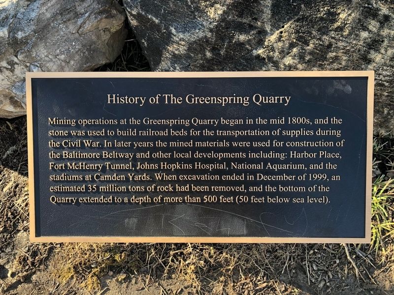
History of The Greenspring Quarry

Photographed By Devry Becker Jones (CC0), March 23, 2019
1. History of The Greenspring Quarry Marker
Topics. This historical marker is listed in these topic lists: Industry & Commerce • Railroads & Streetcars • Roads & Vehicles • War, US Civil. A significant historical month for this entry is December 1999.
Location. 39° 23.045′ N, 76° 41.447′ W. Marker is in Lutherville-Timonium, Maryland, in Baltimore County. Marker is at the intersection of Quarry Lake Drive and Travertine Drive, on the left when traveling west on Quarry Lake Drive. Touch for map. Marker is at or near this postal address: 2750 Quarry Lake Drive, Baltimore MD 21209, United States of America. Touch for directions.
Other nearby markers. At least 8 other markers are within 2 miles of this marker, measured as the crow flies. Quarry Lake at Greenspring (here, next to this marker); Carroll Hunting Lodge (approx. 1.6 miles away); Rockland (approx. 1.7 miles away); 7-Mile Marker (approx. 1.8 miles away); The Old United States Arsenal (approx. 1.8 miles away); First Boy Scout Armory (approx. 1.9 miles away); a different marker also named First Boy Scout Armory (approx. 1.9 miles away); The Old Court Road (approx. 1.9 miles away).

Photographed By Devry Becker Jones (CC0), March 23, 2019
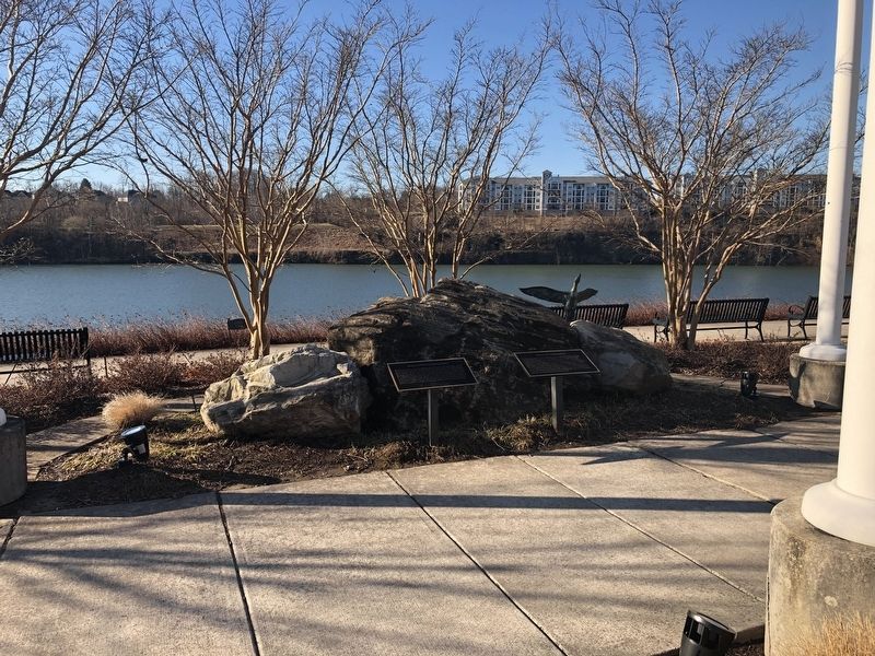
2. History of The Greenspring Quarry Marker
Credits. This page was last revised on January 20, 2022. It was originally submitted on March 23, 2019, by Devry Becker Jones of Washington, District of Columbia. This page has been viewed 488 times since then and 33 times this year. Photos: 1, 2. submitted on March 23, 2019, by Devry Becker Jones of Washington, District of Columbia.