Remington in Baltimore, Maryland — The American Northeast (Mid-Atlantic)
The Huntingdon Avenue Viaduct Bridge Path
Wyman Park
| — | Baltimore City Recreation & Parks | — |
Photographed by Devry Becker Jones (CC0), March 23, 2019
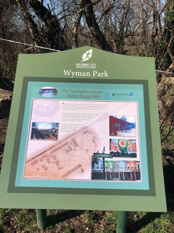
1. The Huntingdon Avenue Viaduct Bridge Path Marker
This marker and path are positioned on a tract of Wyman Park that was designated parkland in 1903. While the bridge was dismantled in 1949, it is fitting that this expanded pathway funded through a grant from the Homewood Community Partners Initiative once again provides a scenic park-way route between the vibrant Remington and Hampden neighborhoods.
While passing by take note of the large rectangular stones, formerly part of the bridge abutments, which can be found at this, Huntingdon Avenue's endpoint and along Wyman Park Drive.
Topics. This historical marker is listed in these topic lists: Bridges & Viaducts • Parks & Recreational Areas • Railroads & Streetcars. A significant historical year for this entry is 1893.
Location. 39° 19.409′ N, 76° 37.497′ W.
this page online

Regionally, this marker is in Central Maryland. It is also in the American Mid-Atlantic, in the Chesapeake Bay Region, and on the Eastern Seaboard. Globally, it is in the North Atlantic Region, North America, the Western Hemisphere, the Western World, and the Anglosphere. Historically, it finds itself in what was once one of the original Thirteen Colonies and also the Antebellum South.
Other nearby markers. At least 8 other markers are within walking distance of this marker: Chapin A. Harris (approx. ¼ mile away); Remington-Wyman World War II Memorial (approx. ¼ mile away); Stony Run | Wyman Park (approx. ¼ mile away); World War II Memorial (approx. ¼ mile away); Decker Quadrangle (approx. ¼ mile away); Harriet Tubman Grove (approx. ¼ mile away); Cresmont Ave (approx. ¼ mile away); Wyman Park Dell (approx.
Photographed by Devry Becker Jones (CC0), March 23, 2019
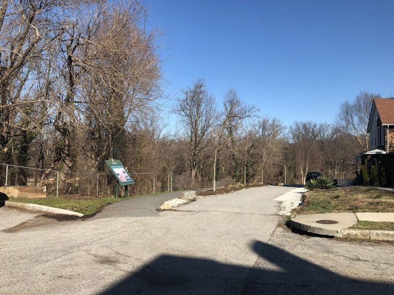
2. The Huntingdon Avenue Viaduct Bridge Path Marker
Credits. This page was last revised on April 17, 2020. It was originally submitted on March 23, 2019, by Devry Becker Jones of Washington, District of Columbia. This page has been viewed 659 times since then and 22 times this year. Photos: 1, 2. submitted on March 23, 2019, by Devry Becker Jones of Washington, District of Columbia.
