Milledgeville in Baldwin County, Georgia — The American South (South Atlantic)
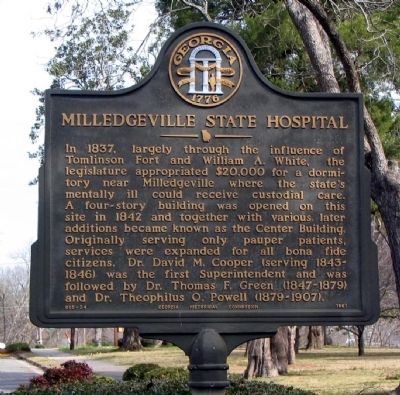
Milledgeville State Hospital
Erected 1961 by Georgia Historical Commission. (Marker Number 005-24.)
Topics and series. This historical marker is listed in these topic lists: Charity & Public Work • Science & Medicine. In addition, it is included in the Georgia Historical Society series list. A significant historical year for this entry is 1837.
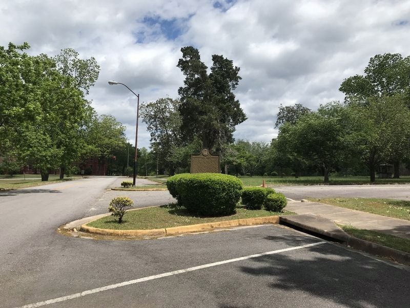
Location. 33° 3.098′ N, 83° 13.328′ W. Marker is in Milledgeville, Georgia, in Baldwin County. Marker is at the intersection of Broad Street and the unnamed hospitalentrance drive, on the right when traveling east on Broad Street. Touch for map. Marker is in this post office area: Milledgeville GA 31061, United States of America. Touch for directions.
Other nearby markers. At least 8 other markers are within walking distance of this marker. Powell Building (a few steps from this marker); Cornerstone/Auditorium Building (about 300 feet away, measured in a direct line); The Walker Building (about 400 feet away); The Green Building (about 600 feet away); Summer Home (of) Governor Herschel V. Johnson (approx. 0.7 miles away); Fort Wilkinson (approx. 0.7 miles away); Cedar Lane Cemetery (approx. ¾ mile away); Old Fort Wilkinson (approx. 0.8 miles away). Touch for a list and map of all markers in Milledgeville.
Credits. This page was last revised on May 13, 2022. It was originally submitted on October 30, 2008, by David Seibert of Sandy Springs, Georgia. This page has been viewed 2,658 times since then and 43 times this year. Photos: 1. submitted on October 30, 2008, by David Seibert of Sandy Springs, Georgia. 2. submitted on May 13, 2022, by Duane and Tracy Marsteller of Murfreesboro, Tennessee. 3. submitted on October 30, 2008, by David Seibert of Sandy Springs, Georgia. • Kevin W. was the editor who published this page.


