Gardner in Johnson County, Kansas — The American Midwest (Upper Plains)
Eye of the Needle
Photographed by Cosmos Mariner, June 10, 2012
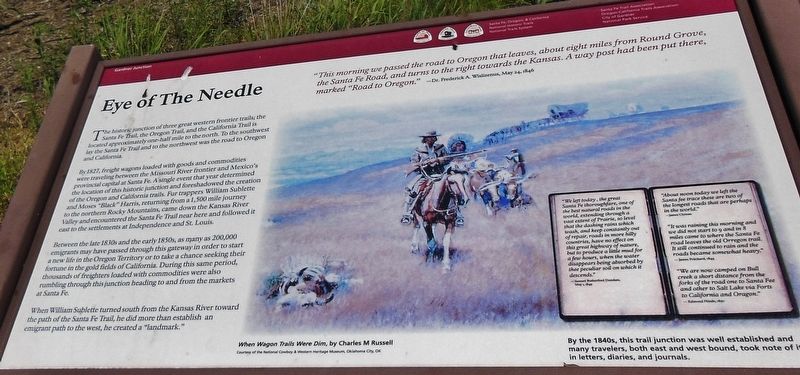
1. Eye of the Needle Marker
The historic junction of three great western frontier trails; the Santa Fe Trail, the Oregon Trail, and the California Trail is located approximately one-half mile to the north. To the southwest lay the Santa Fe Trail and to the northwest was the road to Oregon and California.
By 1827, freight wagons loaded with goods and commodities were traveling between the Missouri River frontier and Mexico’s provincial capital at Santa Fe. A single event that year determined the location of this historic junction and foreshadowed the creation of the Oregon and California trails. Fur trappers William Sublette and Moses "Black” Harris, returning from a 1,500 mile journey to the northern Rocky Mountains, came down the Kansas River Valley and encountered the Santa Fe Trail near here and followed it east to the settlements at Independence and St. Louis.
Between the late 1830s
this page online
Erected by Santa Fe, Oregon and California National Historic Trails, City of Gardner and National Park Service.
Topics and series. This historical marker is listed in these topic lists: Industry & Commerce • Roads & Vehicles • Settlements & Settlers. In addition, it is included in the California Trail, the Oregon Trail, and the Santa Fe Trail series lists. A significant historical date for this entry is May 24, 1846.
Location. 38° 47.79′ N, 94° 57.734′ W. Marker is in Gardner, Kansas, in Johnson County. It can be reached from the intersection of U.S. 56 and West 183rd Street,
Courtesy of the National Cowboy & Western Heritage Museum, Oklahoma City, OK
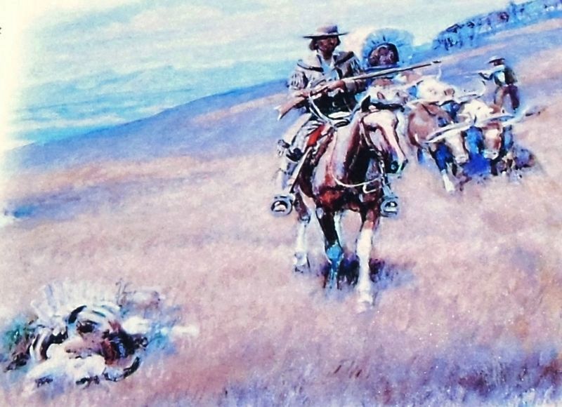
2. Marker detail: When Wagon Trails Were Dim, by Charles M. Russell

Regionally, this marker is in Eastern Kansas and specifically in Greater Kansas City. It is also in the American Midwest, in the Corn Belt, on the prairies, on the Southern Plains, and on the Santa Fe Trail Corridor. Globally, it is in North America, the Western Hemisphere, the Western World, and the Anglosphere. Historically, it finds itself in what was once the Louisiana Purchase.
Other nearby markers. At least 8 other markers are within 2 miles of this marker, measured as the crow flies: Following Their Dreams (here, next to this marker); Apprehension and Conflict (within shouting distance of this marker); From Prairie Schooners to Locomotives (within shouting distance of this marker); A Look Back in Time (within shouting distance of this marker); a different marker also named A Look Back in Time (within shouting distance of this marker); a different marker
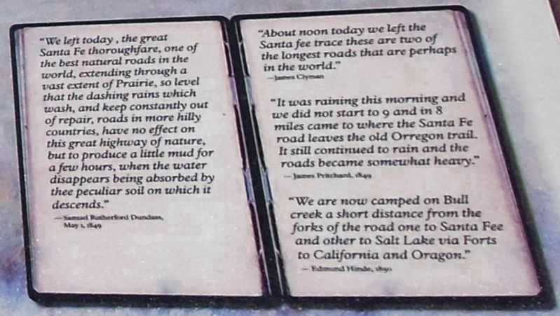
3. Marker detail: Journal entries
“We left today the great Santa Fe thoroughfare, one of the best natural roads in the world, extending through a vast extent of Prairie, so level that the dashing rains which wash, and keep constantly out of repair, roads in more hilly country, have no effect on this great highway of nature, but to produce a little mud for a few hours, when the water disappears being absorbed by thee peculiar sod on which it descends."
— Samuel Rutherford Dundass, May 1, 1849
”About noon today we left the Santa Fee trace these are two of the longest roads that are perhaps the world.”
— James Clyman
”It was raining this morning and we did not start to 9 and in 8 miles came to where the Santa Fe road leaves the old Orregon trail. It still continued to rain and the roads became somewhat heavy.”
— James Pritchard, 1849
”We are now camped on Bull creek a short distance from the forks of the road one to Santa Fee and other to Salt Lake via Forts to California and Oregon.”
— Edmund Hinde, 1850
— Samuel Rutherford Dundass, May 1, 1849
”About noon today we left the Santa Fee trace these are two of the longest roads that are perhaps the world.”
— James Clyman
”It was raining this morning and we did not start to 9 and in 8 miles came to where the Santa Fe road leaves the old Orregon trail. It still continued to rain and the roads became somewhat heavy.”
— James Pritchard, 1849
”We are now camped on Bull creek a short distance from the forks of the road one to Santa Fee and other to Salt Lake via Forts to California and Oregon.”
— Edmund Hinde, 1850
Also see . . . William Sublette (Wikipedia). William Lewis Sublette, (1798-1845), was an American frontiersman, trapper, fur trader, explorer, and mountain man. With his four brothers, after 1823 he became an agent of the Rocky Mountain Fur Company. Later he became one of the company's co-owners, exploiting the riches of the Oregon Country. He helped settle and improve the best routes for migrants along the Oregon Trail. (Submitted on March 24, 2019, by Cosmos Mariner of Cape Canaveral, Florida.)
Photographed by Cosmos Mariner, June 10, 2012
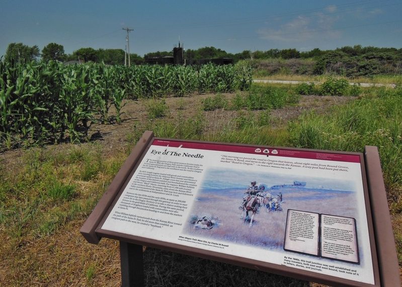
4. Eye of the Needle Marker (wide view; West 183rd Street in background)
Credits. This page was last revised on March 24, 2019. It was originally submitted on March 23, 2019, by Cosmos Mariner of Cape Canaveral, Florida. This page has been viewed 734 times since then and 39 times this year. Photos: 1, 2, 3, 4. submitted on March 24, 2019, by Cosmos Mariner of Cape Canaveral, Florida.
