Near Fonda in Montgomery County, New York — The American Northeast (Mid-Atlantic)
Jail Limit Marker
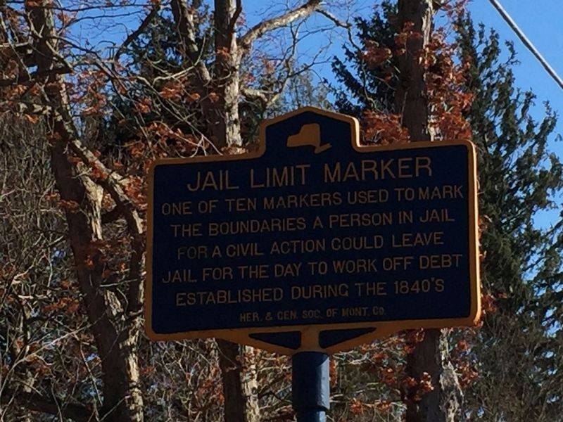
Photographed by Steve Stoessel, March 23, 2019
1. Jail Limit Marker Marker
Erected by Her. & Gen. Soc. of Montg. Co.
Topics. This historical marker is listed in these topic lists: Government & Politics • Law Enforcement.
Location. 42° 57.519′ N, 74° 21.451′ W. Marker is near Fonda, New York, in Montgomery County. It is on Switzer Hill Road, on the right when traveling north. On the right as you go up the hill. Touch for map. Marker is in this post office area: Fonda NY 12068, United States of America. Touch for directions.

Regionally, this marker is in Upstate New York and in the Mohawk Valley. It is also in the American Northeast and in the Mid-Atlantic. Globally, it is in North America, the Western Hemisphere, the Western World, and the Anglosphere. Historically, it finds itself in what was once the Haudenosaunee (Iroquois) Confederacy, New Netherland, and one of the original Thirteen Colonies.
Other nearby markers. At least 8 other markers are within walking distance
this page online
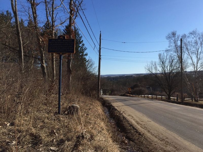
Photographed by Steve Stoessel, March 23, 2019
2. View from marker
Looking south towards the Mohawk River.
Credits. This page was last revised on March 25, 2019. It was originally submitted on March 24, 2019, by Steve Stoessel of Niskayuna, New York. This page has been viewed 295 times since then and 17 times this year. Photos: 1, 2. submitted on March 24, 2019, by Steve Stoessel of Niskayuna, New York. • Bill Pfingsten was the editor who published this page.
