
Old Town North in Alexandria, Virginia — The American South (Mid-Atlantic)
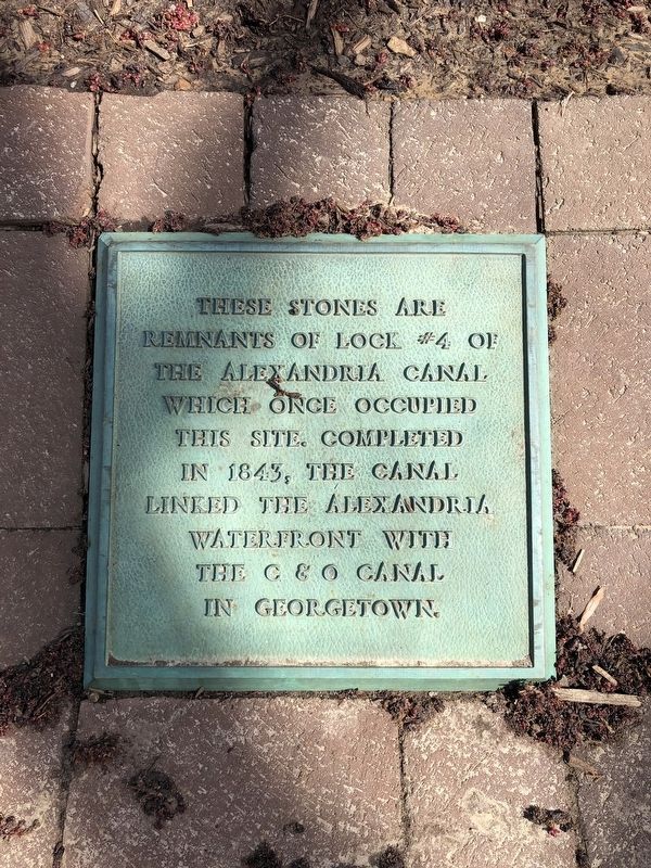
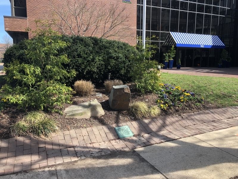
Remnants of Lock #4 of the Alexandria Canal
Photographed by Devry Becker Jones (CC0), March 24, 2019
1. Remnants of Lock #4 of the Alexandria Canal Marker
Topics and series. This historical marker is listed in this topic list: Waterways & Vessels. In addition, it is included in the Chesapeake and Ohio (C&O) Canal series list. A significant historical year for this entry is 1843.
Location. 38° 48.861′ N, 77° 2.557′ W. Marker is in Alexandria, Virginia. It is in Old Town North. It is on North Pitt Street north of Montgomery Street, on the right when traveling north. The marker stands in the Old Town North neighborhood of Alexandria. Touch for map. Marker is at or near this postal address: 901 North Pitt Street, Alexandria VA 22314, United States of America. Touch for directions.

Regionally, this marker is in the Washington Metropolitan Area and in Northern Virginia. It is also in the American South, specifically in the Upper South, in the Mid-Atlantic, and on the Eastern Seaboard. Globally, it is in the North Atlantic Region, North America, the Western Hemisphere, the Western World,
this page online
Other nearby markers. At least 8 other markers are within walking distance of this marker: The Tale of Spa Spring (within shouting distance of this marker); Alexandria Canal Turning Basin (within shouting distance of this marker); Alexandria Canal (1843 - 1886) (about 300 feet away, measured in a direct line); Cross Canal (about 700 feet away); Smoot Lumber Company Planing Mill (approx. 0.2 miles away); The Alexandria Canal Company, 1830 - 1886 (approx. 0.2 miles away); The Old Dominion Glass Company (approx. 0.2 miles away); Cross Canal Neighborhood, 1860s - 1960s (approx. 0.2 miles away). Touch for a list and map of all markers in Alexandria.
Additional keywords. Chesapeake and Ohio Canal
Photographed by Devry Becker Jones (CC0), March 24, 2019
2. Remnants of Lock #4 of the Alexandria Canal Marker
Credits. This page was last revised on January 27, 2023. It was originally submitted on March 24, 2019, by Devry Becker Jones of Washington, District of Columbia. This page has been viewed 618 times since then and 25 times this year. Photos: 1, 2. submitted on March 24, 2019, by Devry Becker Jones of Washington, District of Columbia.
