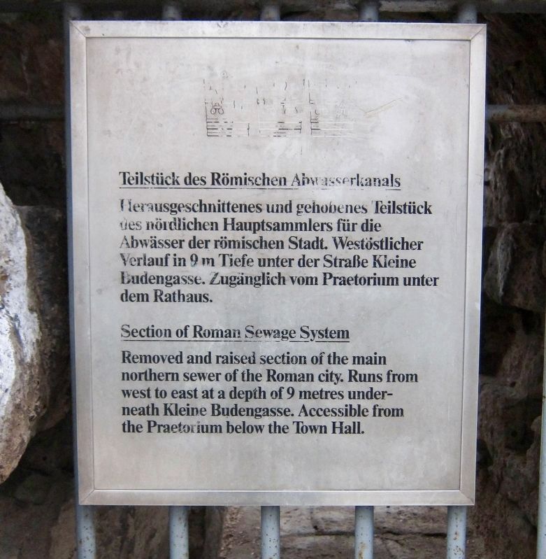
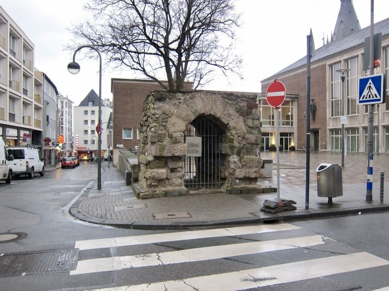
Teilstück des Römischen Abwasserkanals / Section of Roman Sewage System
-
Topics. This historical marker is listed in this topic list: Man-Made Features.
Location. 50° 56.345′ N, 6° 57.495′ E. Marker is in Cologne, Nordrhein-Westfalen (North Rhine-Wetphalia), in Köln. Marker is at the intersection of Unter Goldschmied and Kleine Budengasse on Unter Goldschmied. Touch for map. Marker is in this post office area: Cologne HE 50667, Germany. Touch for directions.
Other nearby markers. At least 8 other markers are within walking distance of this marker. Pfarrkirche St. Laurenz / Parish Church of St. Laurenz (within shouting distance of this marker); Historisches Rathaus / Historical Town Hall (about 120 meters away, measured in a direct line); Brauhaus Früh am Dom / The 'Frueh at the Cathedral' Brewery
(about 150 meters away); Johann Maria Farina and Eau de Cologne (about 150 meters away); Seitenportal des römischen Nordtores/ Side Portal of North Roman Gate (approx. 0.3 kilometers away); Kapelle St. Victor / St. Victor Chapel (approx. 0.4 kilometers away); Georg Simon Ohm (approx. half a kilometer away); Dominican Monastery Site and Albertus Magnus (approx. half a kilometer away). Touch for a list and map of all markers in Cologne.
Also see . . . Cologne sewerage system (Wikipedia). "The sewerage system of Cologne is part of the water infrastructure serving Cologne, Germany. Originally built by the Roman Empire in the 1st century, the city's sewer system was modernised in the late 19th century. Parts of the subterranean network are opened for public tours, and the unusual Chandelier Hall (German: Kronleuchtersaal) hosts jazz and classical music performances." (Submitted on March 25, 2019.)
Credits. This page was last revised on January 28, 2022. It was originally submitted on March 25, 2019, by Andrew Ruppenstein of Lamorinda, California. This page has been viewed 123 times since then and 7 times this year. Photos: 1, 2. submitted on March 25, 2019, by Andrew Ruppenstein of Lamorinda, California.

