
West Wendover in Elko County, Nevada — The American Mountains (Southwest)
The Victory Highway
Photographed by Cosmos Mariner, June 19, 2016
1. The Victory Highway Marker
Association Incorporated
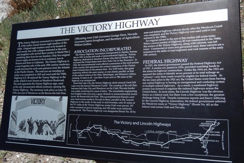
The Victory Highway Association incorporated
this page online
From Salt Lake City, the Victory Highway skirts around Great Salt Lake over the famous Wendover Cutoff. The crossing of the salt flats between Salt Lake City and Wendover on the Utah/Nevada border was costly, involving five years of labor. The remarkable engineering feat bridged what was once a great obstacle to transcontinental motor travel, the Bonneville Salt Flats. This accomplishment blazed a new auto-route across northern Nevada to Reno, parallel to the Lincoln Highway to the south.
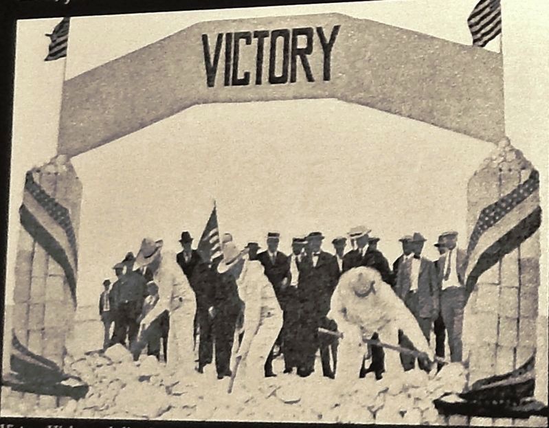
2. Marker detail: Victory Highway dedication, 1925
An original culvert to the east of this marker still exists today. When a newer portion of Highway 40 was constructed in the 1940s, this section of the Victory Highway, along with culverts, was left intact. Constructed of stone and galvanized steel, these culverts are a testament to the skills of road engineers and rock masons of the early 19th century.
Federal Highway
In 1921, the federal government passed the Federal Highway Act of 1921. A similar act, passed in 1916, provided matching funds to the states for highway construction. Unlike the 1916 act, the 1921 act required the states to identify seven percent of its total mileage as “primary”; only these roads would be eligible for federal funds. In the ten years prior to the 1921
Photographed by Cosmos Mariner, June 19, 2016
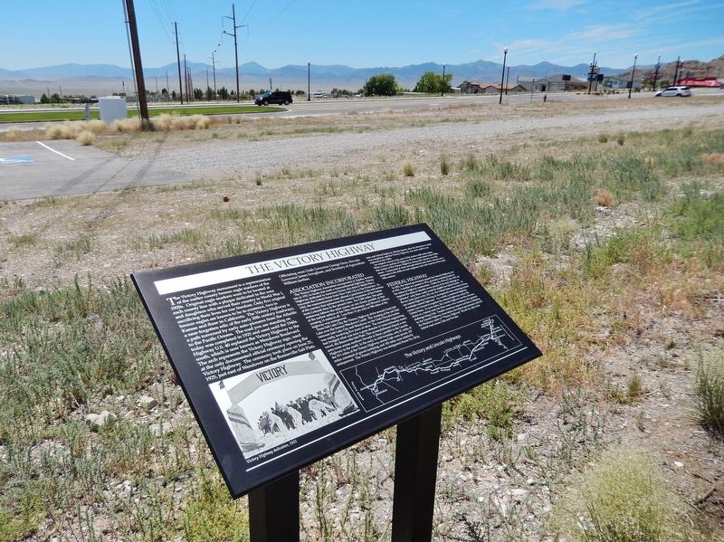
3. The Victory Highway Marker (wide view; Wendover Boulevard in background)
Topics. This historical marker is listed in this topic list: Roads & Vehicles. A significant historical date for this entry is June 25, 1925.
Location. 40° 44.442′ N, 114° 4.368′ W. Marker is in West Wendover, Nevada, in Elko County. It can be reached from Wendover Boulevard west of North Gene L. Jones Way, on the right when traveling west. Marker is located along the south side of the Victory Highway Monument Arch walkway, south of the West Wendover Police Department complex parking lot and just north of the giant "Wendover Will" landmark. Touch
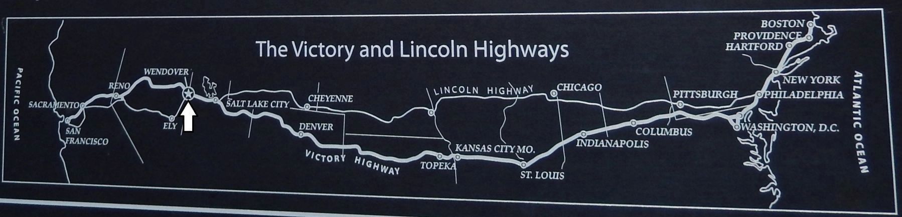
4. Marker detail: Victory Highway map

Regionally, this marker is in Elko Country. It is also in the American Mountain West. Globally, it is in North America, the Western Hemisphere, the Western World, and the Anglosphere. Historically, it finds itself in what was once New Spain and also Mexico’s Alta California.
Other nearby markers. At least 8 other markers are within walking distance of this marker: Lincoln Highway (here, next to this marker); Western Pacific Railroad (a few steps from this marker); Historic Wendover Field (a few steps from this marker); Ancient Lake Bonneville (a few steps from this marker); The Hastings Cutoff (within shouting distance of this marker); Transcontinental Telephone Line (within shouting distance of this marker); Wendover Will Reclaims Skyline Once Again (within shouting distance of this marker); 509th Composite Group – First Atomic Bombardment (approx. 0.9 miles away). Touch for a list and map of all markers in West Wendover.
Also see . . . Victory Highway (Wikipedia).
Photographed by Cosmos Mariner, June 19, 2016
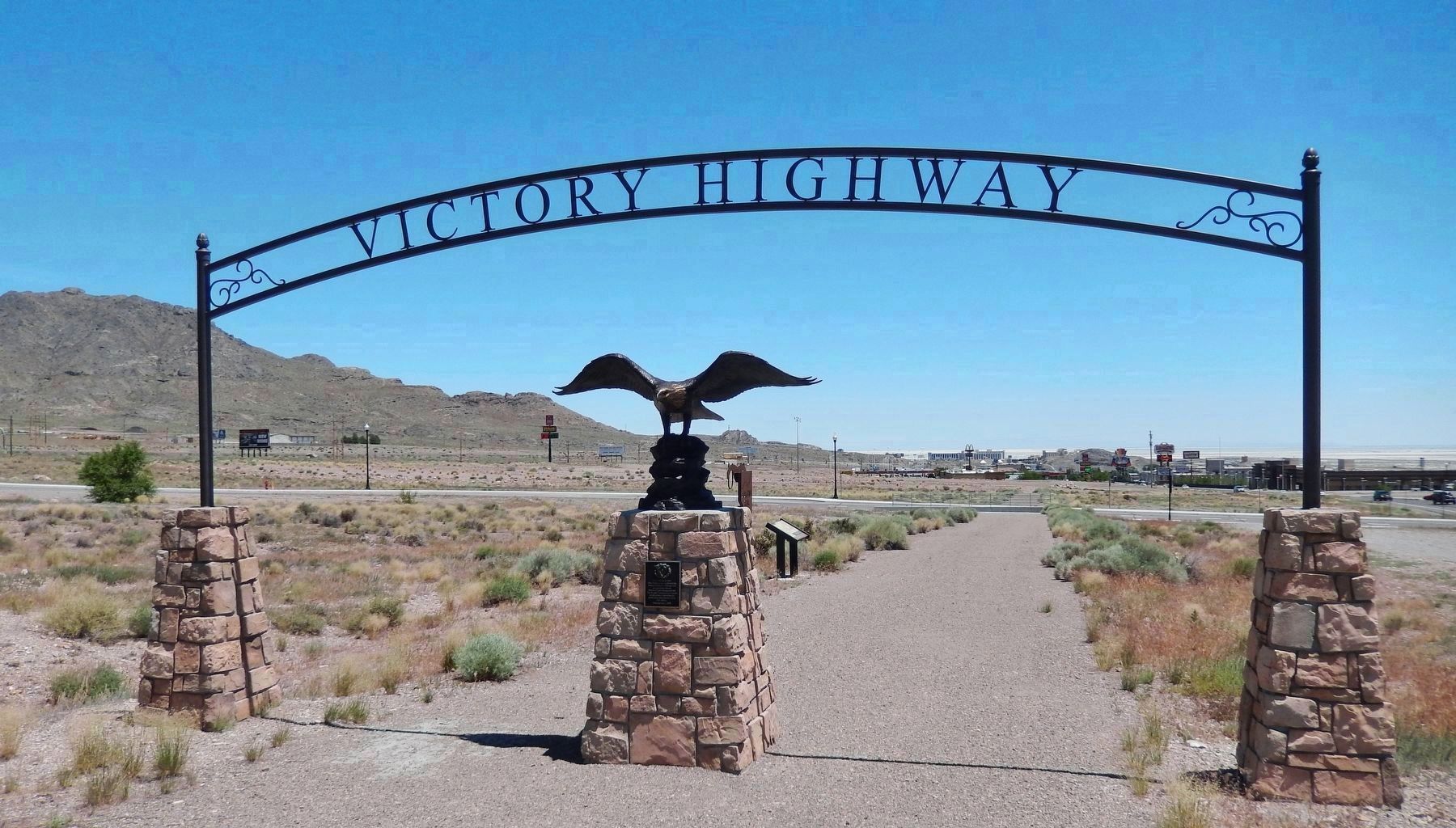
5. The Victory Highway Arch & Monument (located beside this marker)
inscription on plaque:Victory Highway West Wendover has established this Historic Interpretive Walking Trail in cooperation with the Bureau of Land Management and the Nevada Commission on Tourism to help preserve and inform the public about this important era in U.S. history.Dedicated July 1, 2009
Credits. This page was last revised on November 22, 2020. It was originally submitted on March 25, 2019, by Cosmos Mariner of Cape Canaveral, Florida. This page has been viewed 2,487 times since then and 151 times this year. Photos: 1. submitted on March 25, 2019, by Cosmos Mariner of Cape Canaveral, Florida. 2, 3, 4, 5. submitted on March 26, 2019, by Cosmos Mariner of Cape Canaveral, Florida.
