
Batchellerville in Saratoga County, New York — The American Northeast (Mid-Atlantic)
Great Sacandaga Lake
Photographed by Howard C. Ohlhous, September 4, 2010
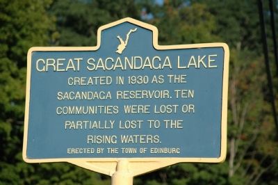
1. Great Sacandaga Lake Marker
Created in 1930 as the
Sacandaga Reservoir. Ten
communities were lost or
partially lost to the
rising waters.
Erected by the Town of Edinburg.
Topics. This historical marker is listed in this topic list: Man-Made Features. A significant historical year for this entry is 1930.
Location. 43° 12.548′ N, 74° 4.913′ W. Marker is in Batchellerville, New York, in Saratoga County. It is on South Shore Road (County Route 7), on the right when traveling south. Marker is posted across the street from the Batchellerville Presbyterian Church. Touch for map. Marker is at or near this postal address: 907 South Shore Road , Northville NY 12134, United States of America. Touch for directions.

Regionally, this marker is in Upstate New York, in the Capital District, and in the Albany Metropolitan Area. It is also in the American Northeast and in the Mid-Atlantic. Globally, it is in the North Atlantic Region, North America, the Great North Woods, the Western Hemisphere, the Western World, and the Anglosphere. Historically, it finds itself in what was once New Netherland and also one of the
this page online
Other nearby markers. At least 8 other markers are within 2 miles of this marker, measured as the crow flies: Building the Batchellerville Bridge (a few steps from this marker); Batchellerville Presbyterian Church (within shouting distance of this marker); S. Batcheller Home (about 400 feet away, measured in a direct line); Old Country Store (about 500 feet away); Batchellerville (about 500 feet away); Historic Bridge (approx. ¾ mile away); Old Road (approx. 1.1 miles away); Edinburg War Memorial (approx. 1.2 miles away).
Additional commentary.
1. Communities Lost to the Reservoir
The marker states that ten communities where lost or partially lost to the waters of the Great Sacandaga. They would include: Conklingville, Day Center, a.k.a. Day Corners, Huntsville, Beecher Hollow, Batchellerville, Fish House, Benedict, Munsonville, Cranberry Creek, Osborne Bridge, Parkville, Sacandaga Park, and the fish and game rich swampy area know as, "The Vly."
— Submitted September 25, 2011, by Howard C. Ohlhous of Duanesburg, New York.
Additional keywords. Hudson River Regulating District
Photographed by Howard C. Ohlhous, September 2, 2009
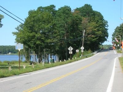
2. Great Sacandaga Lake Marker
Photographed by Howard C. Ohlhous, September 2, 2009
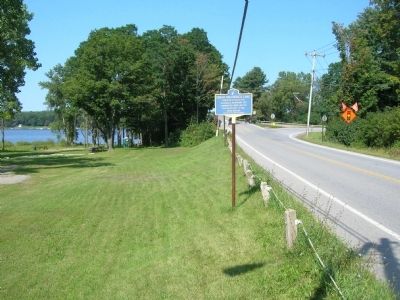
3. Great Sacandaga Lake Marker
Photographed by Howard C. Ohlhous, July 3, 2012
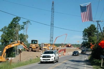
4. Great Sacandaga Lake Marker
The scene near the marker has changed with the building of the new Batchelorville Bridge.
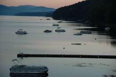
Photographed by Howard C. Ohlhous, August 30, 2010
5. The Great Sacandaga Lake at Batchellerville
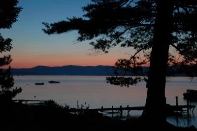
Photographed by Howard C. Ohlhous, August 29, 2010
6. The Great Sacandaga Lake near Northville
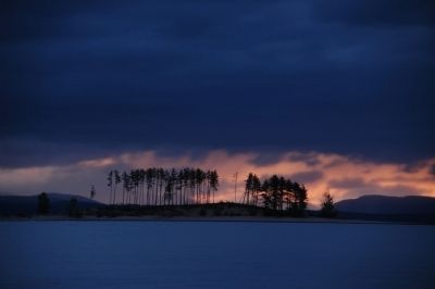
Photographed by Howard C. Ohlhous, September 5, 2010
7. Beacon Island on the Great Sacandaga Lake
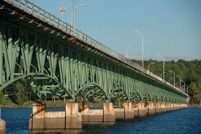
Photographed by Howard C. Ohlhous, September 4, 2010
8. The Batchellerville Bridge across Great Sacandaga Lake
Photographed by Howard C. Ohlhous, September 3, 2011
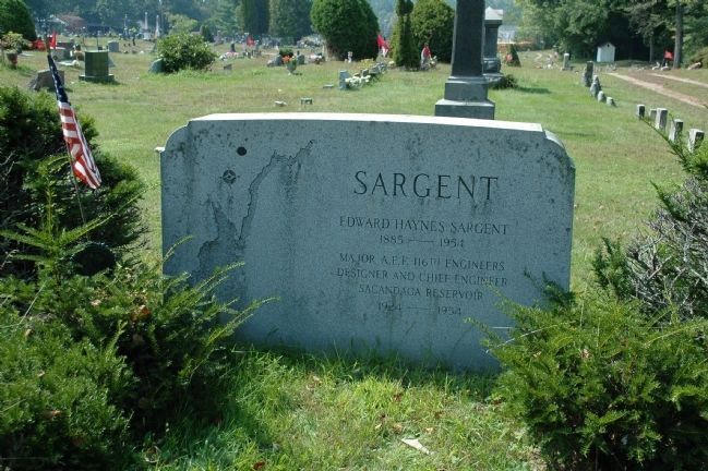
9. Edward Haynes Sargent 1855 - 1954
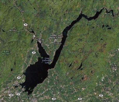
Edward Haynes Sargent was designer and chief engineer of the Sacandaga Reservoir from 1924 until his death in 1954. He had been a major in the American Expeditionary Forces of World War I in the 116th Corps of Engineers. The reservoir today is a living memorial to Mr. Sargent, whose grave lies in the northeast corner of the Edinburg Cemetery. A map of the reservoir is drawn on left side of his gravemarker.
Photographed by Google Maps
10. The Great Sacandaga Lake
Credits. This page was last revised on June 2, 2024. It was originally submitted on February 8, 2011, by Howard C. Ohlhous of Duanesburg, New York. This page has been viewed 2,743 times since then and 48 times this year. Last updated on March 28, 2019, by Steve Stoessel of Niskayuna, New York. Photos: 1, 2, 3. submitted on February 8, 2011, by Howard C. Ohlhous of Duanesburg, New York. 4. submitted on July 9, 2012, by Howard C. Ohlhous of Duanesburg, New York. 5, 6, 7, 8. submitted on February 8, 2011, by Howard C. Ohlhous of Duanesburg, New York. 9, 10. submitted on September 25, 2011, by Howard C. Ohlhous of Duanesburg, New York. • Andrew Ruppenstein was the editor who published this page.
