Near Beaumont in Riverside County, California — The American West (Pacific Coastal)
Saahatpa
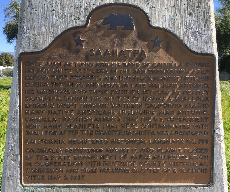
Photographed by Craig Baker, March 29, 2019
1. Saahatpa Marker
Erected 1987 by California State Parks; Riverside County Historical Commission; and E Clampus Vitus. (Marker Number 749.)
Topics and series. This historical marker is listed in these topic lists: Indigenous Peoples and Communities • Settlements & Settlers. In addition, it is included in the California Historical Landmarks, and the E Clampus Vitus series lists.
Location. 33° 57.496′ N, 117° 1.17′ W. Marker is near Beaumont, California, in Riverside County. It can be reached from Interstate 10 1.3 miles west
this page online

Regionally, this marker is in Greater Los Angeles, in the Inland Empire, and in the Peninsular Ranges. It is also in the American Southwest. Globally, it is in North America, on the Ring of Fire, on the Pacific Rim, in the Western Hemisphere, in the Western World, and in the Anglosphere. Historically, it finds itself in what was once New Spain and also Mexico’s Alta California.
Other nearby markers. At least 8 other markers are within 9 miles of this marker, measured as the crow flies: Beaumont Library District (approx. 2.9 miles away); Model 1902 (approx. 5.3 miles away); Yucaipa Adobe (approx. 6½ miles away); Yucaipa Rancheria (approx. 6½ miles away); Banning Woman's Club Clubhouse (approx. 8.4 miles away); Camp Mill Creek (approx. 8½ miles away); The Greenspot Market (approx. 9.1 miles away); Henry Harbinson Sinclair (approx. 9.1 miles away).
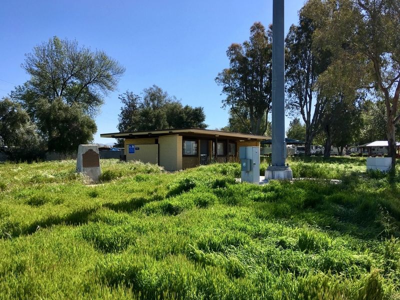
Photographed by Craig Baker, March 29, 2019
2. Saahatpa Marker
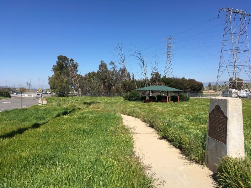
Photographed by Craig Baker, March 29, 2019
3. Saahatpa Marker
Credits. This page was last revised on June 7, 2023. It was originally submitted on March 29, 2019, by Craig Baker of Sylmar, California. This page has been viewed 866 times since then and 59 times this year. Photos: 1, 2, 3. submitted on March 29, 2019, by Craig Baker of Sylmar, California. • Andrew Ruppenstein was the editor who published this page.
