Woodbridge in Prince William County, Virginia — The American South (Mid-Atlantic)
East Coast Radio Transmitting Station
Woodbridge Research Facility
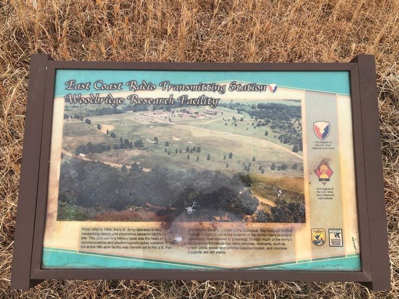
Photographed by Devry Becker Jones (CC0), March 29, 2019
1. East Coast Radio Transmitting Station Marker
Erected by U.S. Fish and Wildlife Service, U.S. Department of the Interior.
Topics. This historical marker is listed in these topic lists: Communications • Military • War, Cold. A significant historical year for this entry is 1950.
Location. 38° 38.655′ N, 77° 14.167′ W. Marker has been reported damaged. Marker is in Woodbridge, Virginia, in Prince William County. It can be reached from Dawson Beach Road east of Highams Court, on the right when traveling east. Touch for map.
this page online

Regionally, this marker is in the Washington Metropolitan Area, in Northern Virginia, and in the Piedmont. It is also in the American South, specifically in the Upper South, in the Mid-Atlantic, and on the Eastern Seaboard. Globally, it is in the North Atlantic Region, North America, the Western Hemisphere, the Western World, and the Anglosphere. Historically, it finds itself in what was once the territory of the Mississippian Culture, one of the original Thirteen Colonies, one of the Confederate States of America, and the Antebellum South.
Other nearby markers. At least 8 other markers are within 2 miles of this location, measured as the crow flies: Grasslands Are Alive! (about 500 feet away, measured in a direct line); Occoquan Bay National Wildlife Refuge Bird Banding Station (approx. 0.3 miles away); Welcome to Occoquan Bay National Wildlife Refuge (approx. 0.6 miles away); The Nation's River (approx. 0.7 miles away); End of the Water (approx. 0.9 miles away); A Near Tragedy (approx.
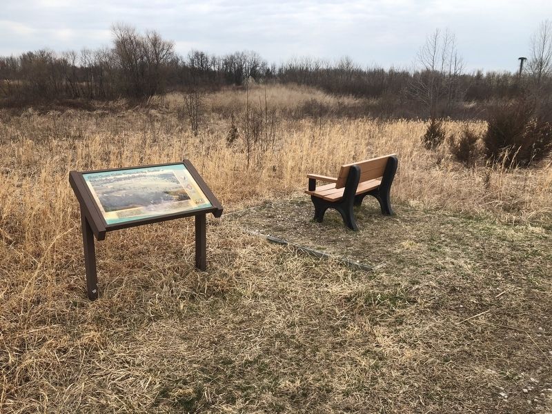
Photographed by Devry Becker Jones (CC0), March 29, 2019
2. East Coast Radio Transmitting Station Marker
Other markers no longer nearby. Early Land Patents (was approx. 1½ miles away but has been permanently removed); Occoquan (was approx. 1½ miles away but has been permanently removed); The First Courthouse of Prince William County (was approx. 1½ miles away but has been permanently removed); Fairfax County / Prince William County (was approx. 1½ miles away but has been permanently removed).
Credits. This page was last revised on March 30, 2019. It was originally submitted on March 29, 2019, by Devry Becker Jones of Washington, District of Columbia. This page has been viewed 1,136 times since then and 76 times this year. Photos: 1, 2. submitted on March 29, 2019, by Devry Becker Jones of Washington, District of Columbia.
