Linthicum Heights in Anne Arundel County, Maryland — The American Northeast (Mid-Atlantic)
TPS-43
Air Force S-Band Tactical Surveillance Radar
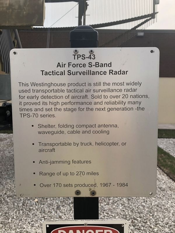
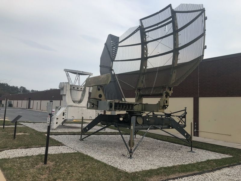
This Westinghouse product is still the most widely used transportable tactical air surveillance radar for early detection of aircraft. Sold to over 20 nations, it proved its high performance and reliability many times and set the stage for the next generation — the TPS-70 series.
• Shelter, folding compact antenna, waveguide, cable and cooling
• Transportable by truck, helicopter, or aircraft
• Anti-jamming features
• Range of up to 270 miles
• Over 170 sets produced, 1967 - 1984
Erected by National Electronics Museum.
Topics. This historical marker is listed in these topic lists: Air & Space • Military • War, Cold. A significant historical year for this entry is 1967.
Location. Marker has been permanently removed. It was located near 39° 11.757′ N, 76° 41.04′ W. Marker was in Linthicum Heights, Maryland, in Anne Arundel County. It was on Elm Road east of West Nursery Road, on the right when traveling east. Touch for map. Marker was at or near this postal address: 1745 West Nursery Road, Linthicum Heights MD 21090, United States of America.
We have been informed that this marker is no longer there
this page online
Regionally, this marker was in the Baltimore Metro Region. It was also in the American Mid-Atlantic and on the Eastern Seaboard. Globally, it was in the North Atlantic Region, North America, the Western Hemisphere, the Western World, and the Anglosphere. Historically, it found itself in what was once one of the original Thirteen Colonies and also the Antebellum South.

Other nearby markers. At least 8 other markers are within 2 miles of this location, measured as the crow flies: Stoney Run Train Station (approx. 0.9 miles away); Elkridge Furnace Inn (approx. 1.6 miles away); Elkridge Landing (approx. 1.8 miles away); a different marker also named Elkridge Landing (approx. 1.8 miles away); Linthicum Heights (approx. 1.8 miles away); In Honor of Those Who Served (approx. 1.8 miles away); Herman F. Prehn (approx. 1.8 miles away); Holly Run Church (approx. 1.9 miles away). Touch for a list and map of all markers in Linthicum Heights.
Other markers no longer nearby. Nike Ajax (was here, next to this marker but has been permanently removed); AN/SPG-55B Radar
Photographed by Adam Margolis, December 19, 2022
2. TPS-43 Marker
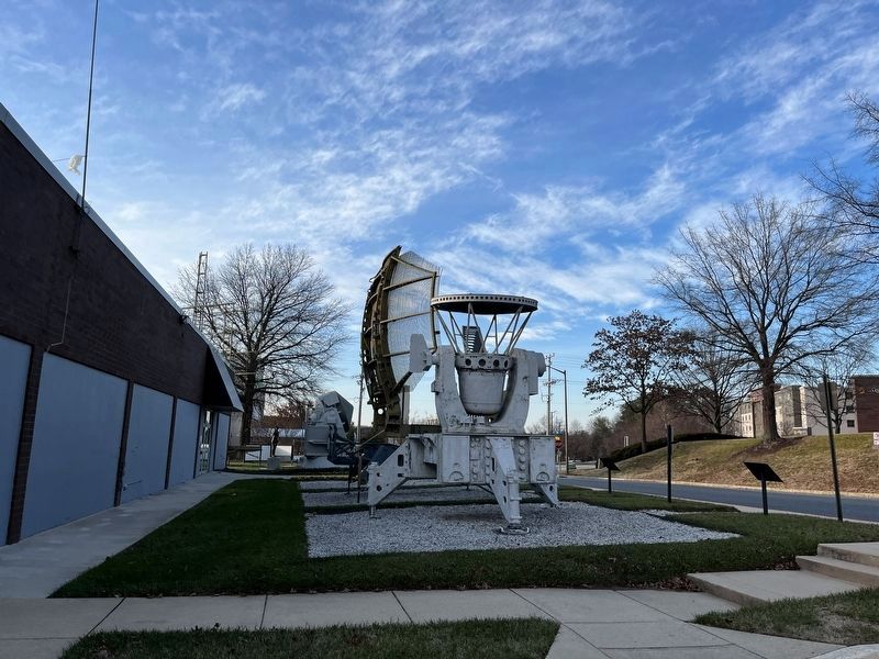
Photographed by Adam Margolis, December 19, 2022
4. TPS-43 Marker
Credits. This page was last revised on July 18, 2026. It was originally submitted on March 30, 2019, by Devry Becker Jones of Washington, District of Columbia. This page has been viewed 800 times since then and 74 times this year. Photos: 1. submitted on March 30, 2019, by Devry Becker Jones of Washington, District of Columbia. 2. submitted on March 21, 2023, by Adam Margolis of Mission Viejo, California. 3. submitted on March 30, 2019, by Devry Becker Jones of Washington, District of Columbia. 4. submitted on March 21, 2023, by Adam Margolis of Mission Viejo, California.
