Redlands in San Bernardino County, California — The American West (Pacific Coastal)
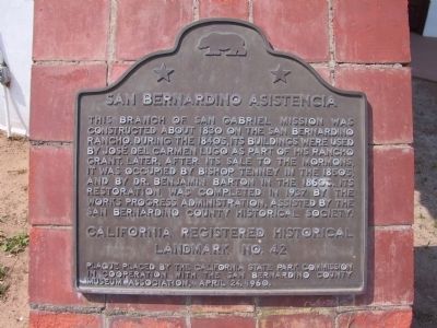
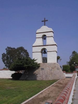
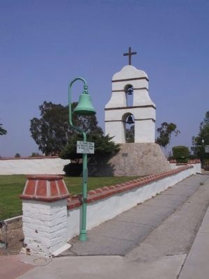
San Bernardino Asistencia
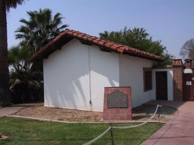
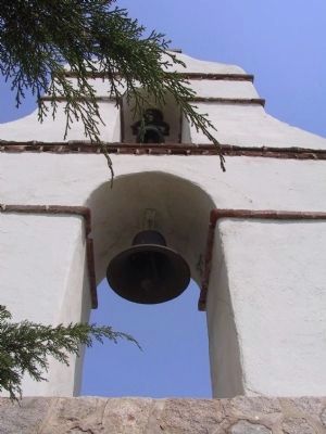
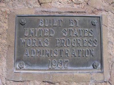
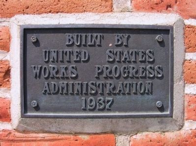
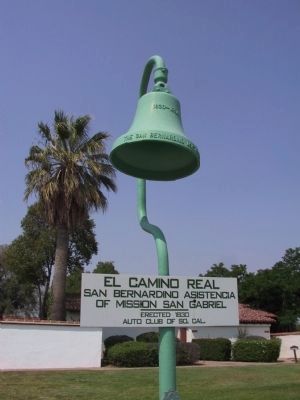
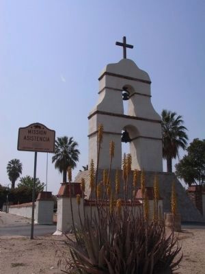
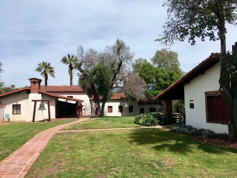
This branch of San Gabriel Mission was constructed about 1830 on the San Bernardino Rancho. During the 1840's, its buildings were used by José del Carmen Lugo as part of his rancho grant. Later, after its sale to the Mormons, it was occupied by Bishop Tenney in the 1850's, and by Dr. Benjamin Barton in the 1860's. Its restoration was completed in 1937 by the Works Progress Administration, assisted by the San Bernardino County Historical Society.
Erected 1960 by California State Park Commission in cooperation with the San Bernardino County Museum Association. (Marker Number 42.)
Topics and series. This historical marker is listed in these topic lists: Native Americans • Notable Buildings • Settlements & Settlers. In addition, it is included in the California Historical Landmarks, and the Works Progress Administration (WPA) projects series lists. A significant historical year for this entry is 1830.
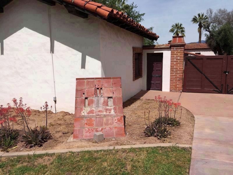
Location. Marker has been reported missing. It was located near 34° 2.913′ N, 117° 12.999′ W. Marker was in Redlands, California, in San Bernardino County. Marker was on Barton Road east of Nevada Street, on the right when traveling west. Touch for map. Marker was at or near this postal address: 26930 Barton Rd, Redlands CA 92373, United States of America. Touch for directions.
Other nearby markers. At least 8 other markers are within 4 miles of this location, measured as the crow flies. Guachama Rancheria (approx. 1.3 miles away); William McKinley (approx. 1.9 miles away); A.K. Smiley Public Library (approx. 1.9 miles away); Lincoln Memorial Shrine (approx. 1.9 miles away); Kimberly Crest (approx. 2.6 miles away); First Lugonia School (approx. 2.9 miles away); Mill Creek Zanja (approx. 2.9 miles away); a different marker also named Mill Creek Zanja (approx. 3.8 miles away). Touch for a list and map of all markers in Redlands.
Also see . . . The Asistencia. The site has been transferred to the Redlands Conservancy. (Submitted on April 1, 2019, by Craig Baker of Sylmar, California.)
Credits. This page was last revised on March 21, 2023. It was originally submitted on December 28, 2011, by Michael Kindig of Elk Grove, California. This page has been viewed 905 times since then and 26 times this year. Last updated on April 1, 2019, by Craig Baker of Sylmar, California. Photos: 1. submitted on December 28, 2011, by Michael Kindig of Elk Grove, California. 2. submitted on April 1, 2019, by Craig Baker of Sylmar, California. 3, 4, 5, 6, 7, 8, 9, 10. submitted on January 2, 2012, by Michael Kindig of Elk Grove, California. 11. submitted on April 1, 2019, by Craig Baker of Sylmar, California. • Syd Whittle was the editor who published this page.
