Hudson Falls in Washington County, New York — The American Northeast (Mid-Atlantic)
Martindale Boat Basin
Photographed by Steve Stoessel, March 30, 2019
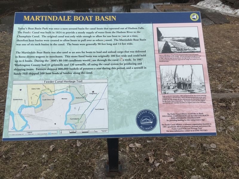
1. Martindale Boat Basin Marker
The Martindale Basin was also used as an area for boats to load and unload cargo that was delivered in horse-drawn wagons to merchants. This stone-lined basin was originally 200 feet wide and could hold up to 6 boats. During the 1800’s, 80-100 canal boats would pass through the canal each week. In 1867 Washington County had 41 gristmills and 130 sawmills, all using the canal system for producing and shipping items. Farmers shipped 800,000 bushels of potatoes a year during this period, and a sawmill in Sandy Hill shipped 300 boatloads of lumber along the canal.
Inset
This is a 1906 photo of logs floating along the Feeder
this page online
These stones were recovered in 1990 and now form the three-tiered retaining wall and access to the boat dock. Due to the deteriorated locks in the canal, paddlers can only navigate the five miles between the Martindale Boat basin and the Feeder Dam in Queensbury. The Feeder Canal is the last original and the only canal that resembles an original canal in New York State.
Erected by Feeder Canal Alliance/ New York State Canal Corporation.
Topics. This historical marker is listed in this topic list: Waterways & Vessels. A significant historical year for this entry is 1824.
Location. 43° 18.358′ N, 73° 34.858′ W. Marker is in Hudson Falls, New York, in Washington County. It is on Martindale Avenue, on the left when traveling east. Touch for map. Marker is in this post office area: Hudson Falls NY 12839, United States of America. Touch for directions.

Regionally, this marker
Photographed by Steve Stoessel, March 30, 2019
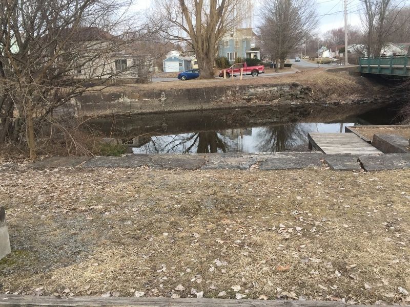
2. Martindale Boat Basin
Other nearby markers. At least 8 other markers are within walking distance of this marker: Military Road (approx. 0.2 miles away); Gen. Henry Knox Trail (approx. ¼ mile away); Sandy Hill (approx. ¼ mile away); Townsend Harris (approx. 0.3 miles away); Coal Silos (approx. 0.3 miles away); Gen. Washington (approx. 0.4 miles away); Little Canada (approx. 0.4 miles away); Sixteen Soldiers (approx. 0.4 miles away). Touch for a list and map of all markers in Hudson Falls.
Photographed by Steve Stoessel, March 30, 2019
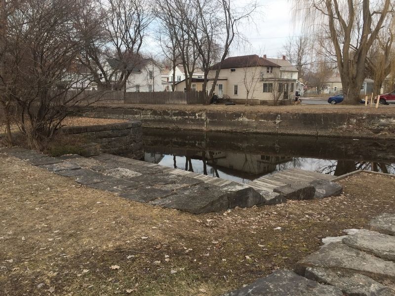
3. Martindale Boat Basin Marker
Credits. This page was last revised on April 4, 2019. It was originally submitted on April 3, 2019, by Steve Stoessel of Niskayuna, New York. This page has been viewed 485 times since then and 47 times this year. Photos: 1, 2, 3. submitted on April 4, 2019, by Steve Stoessel of Niskayuna, New York. • Bill Pfingsten was the editor who published this page.
