Mackinaw City in Cheboygan County, Michigan — The American Midwest (Great Lakes)
Shipwrecks in the Straits
| — | Mackinaw City Historical Pathway | — |

Photographed by J. J. Prats, August 2, 2024
1. Shipwrecks in the Straits Marker
This is the 2022 edition of this marker. Compare with Photo No. 5 below.
When mankind took to the water, shipwrecks were inevitable.
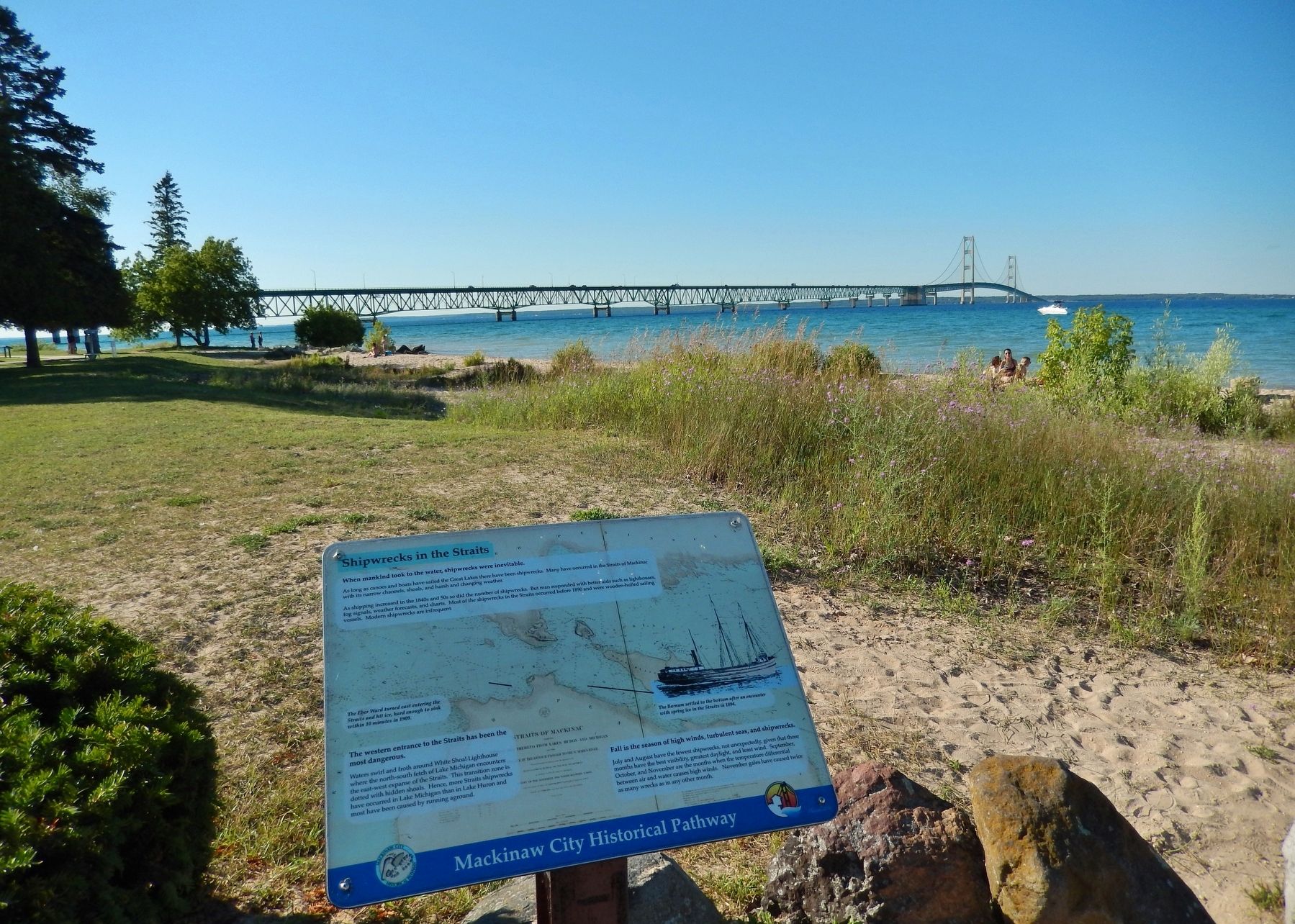
As long as canoes and boats have sailed the Great Lakes there have been shipwrecks. Many have occurred in the Straits of Mackinac with its narrow channels, shoals, and harsh and changing weather.
As shipping increased in the 1840s and 50s so did the number of shipwrecks. But man responded with better aids such as lighthouses, fog signals, weather forecasts, and charts. Most of the shipwrecks in the Straits occurred before 1890 and were wooden-hulled sailing vessels. Modern shipwrecks are infrequent.
The western entrance to the Straits has been the most dangerous.
Waters swirl and froth around White Shoal Lighthouse where the north-south fetch of Lake Michigan encounters the east-west expanse of the Straits. This transition zone is dotted with hidden shoals. Hence, more Straits shipwrecks have occurred in Lake Michigan than in Lake Huron and most have been caused by running aground.
Fall is the season of high winds, turbulent seas, and shipwrecks.
July and August have the fewest shipwrecks, not unexpectedly, given that those months have the best visibility, greatest
this page online
(image captions)
• The Eber Ward turned east entering the Straits and hit ice, hard enough to sink within 10 minutes in 1909.
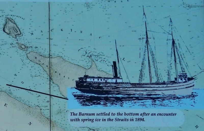
• The Barnum settled to the bottom after an encounter with spring ice in the Straits in 1894.
Erected 2022 by Mackinaw City Historical Pathway.
Topics and series. This historical marker is listed in these topic lists: Disasters • Waterways & Vessels. In addition, it is included in the Lighthouses series list.
Location. 45° 47.243′ N, 84° 43.687′ W. Marker is in Mackinaw City, Michigan, in Cheboygan County. It can be reached from the intersection of North Huron Avenue and Henry Street when traveling north. Marker is located along the Mackinaw City Historical Pathway, on the east side of Alexander Henry Park, overlooking the Mackinac Bridge and the Straits of Mackinac. Touch for map. Marker is at or near this postal address: 518
Photographed by Cosmos Mariner, July 29, 2017
2. Marker detail: The Barnum sank after an encounter with spring ice in the Straits in 1894

Regionally, this marker is in Northern Michigan Lower Peninsula, on the Straits of Mackinac, and in one of the Lake Huron Shore counties. It is also in the American Midwest. Globally, it is in North America, in the Great North Woods, on the Great Lakes, in the Western Hemisphere, in the Western World, and in the Anglosphere. Historically, it finds itself in what was once the Northwest Territory.
Other nearby markers. At least 8 other markers are within walking distance of this marker: A different marker also named Crossroads of the Great Lakes (here, next to this marker); Michilimackinac State Park (a few steps from this marker); Building the Mighty Mac (within shouting distance of this marker); a different marker also named Graveyard of the Deep (within shouting distance of this marker); Alexander Henry 1739 - 1834 (within shouting distance of this marker); Alexander Henry Park Kiosk (within shouting distance of this marker); Radio Beacon 1937/1938 (about 300 feet away, measured in a direct line); Fog Signal Station (about 300 feet
Photographed by Cosmos Mariner, July 29, 2017
3. Shipwrecks in the Straits Marker (wide view; Mackinac Bridge in background)
Other markers no longer nearby. Crossroads of the Great Lakes (was here, next to this marker but has been replaced with another marker now near it); Building Mighty Mac (was within shouting distance of this marker but has been replaced with another marker now near it); Graveyard of the Deep (was within shouting distance of this marker but has been replaced with another marker now near it).
More about this marker. This marker replaced a 2014 marker on this pole with identical title and text, but when it was photographed by our correspondent, the image on the earlier marker for the Eber Ward was missing, yet it's caption was shown. This 2022 version of the marker includes that image.
Also see . . .
1. The Eber Ward Shipwreck. The Eber Ward left her winter quarters in Chicago and picked up a cargo of corn in Milwaukee, bound for Port Huron. There was still ice in the Straits, and on the bright spring morning of April 20, 1909 the Captain faced a field of slush and windrow ice that appeared to be no obstacle to navigation. The Ward’s bow was torn
Photographed by Joel Seewald, August 19, 2019
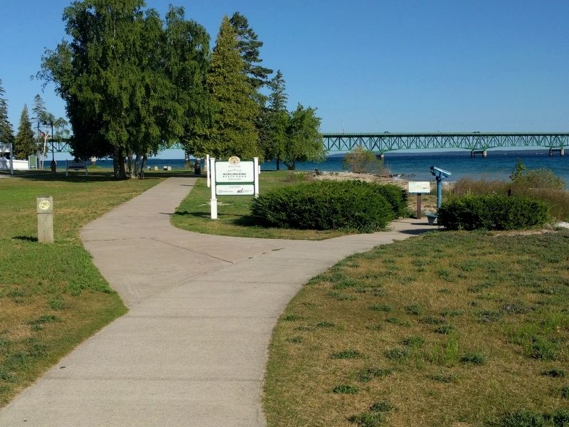
4. Shipwrecks in the Straits Marker
View looking toward the northwest.
2. The William H. Barnum Shipwreck. The Barnum left Chicago harbor on April Fools Day 1894 loaded with corn for Port Huron. The Barnum left Chicago harbor along with 18 others ships, including the steamer Minneapolis, which sank the day before the Barnum. The heavy weather and grinding ice in the Straits proved to be to much for the Barnum and she started taking on water. The tug Crusader came to her rescue and tried to move her into shallow water, but her efforts were also halted by the ice. The Crusader took the crew of the Barnum and they watched her vanish beneath the ice and waves on the morning of April 3, 1894. No lives were lost. (Submitted on April 4, 2019, by Cosmos Mariner of Cape Canaveral, Florida.)

Photographed by Cosmos Mariner, July 29, 2017
5. 2014 Edition of this Marker
Compare this photo with the Photo No. 1. The image of one of the ships is missing.
Credits. This page was last revised on August 25, 2024. It was originally submitted on April 4, 2019, by Cosmos Mariner of Cape Canaveral, Florida. This page has been viewed 516 times since then and 30 times this year. Photos: 1. submitted on August 25, 2024, by J. J. Prats of Powell, Ohio. 2, 3. submitted on April 4, 2019, by Cosmos Mariner of Cape Canaveral, Florida. 4. submitted on October 17, 2019, by Joel Seewald of Madison Heights, Michigan. 5. submitted on April 4, 2019, by Cosmos Mariner of Cape Canaveral, Florida.
