Aurora in Erie County, New York — The American Northeast (Mid-Atlantic)
W. Aurora Church
Photographed by Anton Schwarzmueller, April 7, 2019
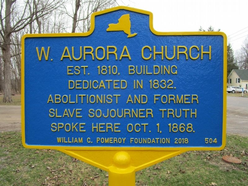
1. W. Aurora Church Marker
est. 1810. Building
dedicated in 1832.
Abolitionist and former
slave Sojourner Truth
spoke here Oct. 1, 1868.
Erected 2018 by William G. Pomeroy Foundation. (Marker Number 504.)
Topics and series. This historical marker is listed in these topic lists: Abolition & Underground RR • Religion & Religious Structures. In addition, it is included in the William G. Pomeroy Foundation series list. A significant historical year for this entry is 1810.
Location. 42° 43.461′ N, 78° 39.949′ W. Marker is in Aurora, New York, in Erie County. It is at the intersection of Mill Road and West Falls Road, on the right when traveling west on Mill Road. Marker is in the hamlet of West Falls. Touch for map. Marker is at or near this postal address: 1807 Mill Road, West Falls NY 14170, United States of America. Touch for directions.

Regionally, this marker is in Upstate New York, specifically in Western New York, and in the Buffalo Metropolitan Area. It is also in the American Northeast and in the Mid-Atlantic. Globally, it is in North America, on the Great Lakes, in the Western Hemisphere, in the Western World,
this page online
Other nearby markers. At least 8 other markers are within 4 miles of this marker, measured as the crow flies: Griffins Mills (approx. 0.2 miles away); Aurora (approx. 1.2 miles away); Dedicated to Those Who Served (approx. 1.7 miles away); Honor Roll (approx. 1.7 miles away); a different marker also named Aurora (approx. 1.8 miles away); Republic F-84 (approx. 3.2 miles away); UH-1 Helicopter (approx. 3.2 miles away); a different marker also named Dedicated to Those Who Served (approx. 3.2 miles away). Touch for a list and map of all markers in Aurora.
Also see . . . Griffins Mills Presbyterian Church - Wikipedia. The church is known today as Griffins Mills Presbyterian Church. (Submitted on April 7, 2019, by Anton Schwarzmueller of Wilson, New York.)
Photographed by Anton Schwarzmueller, April 7, 2019
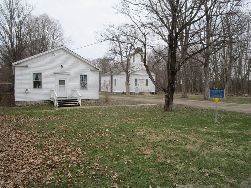
2. Church, Meeting Hall & Marker
Photographed by Anton Schwarzmueller, April 7, 2019
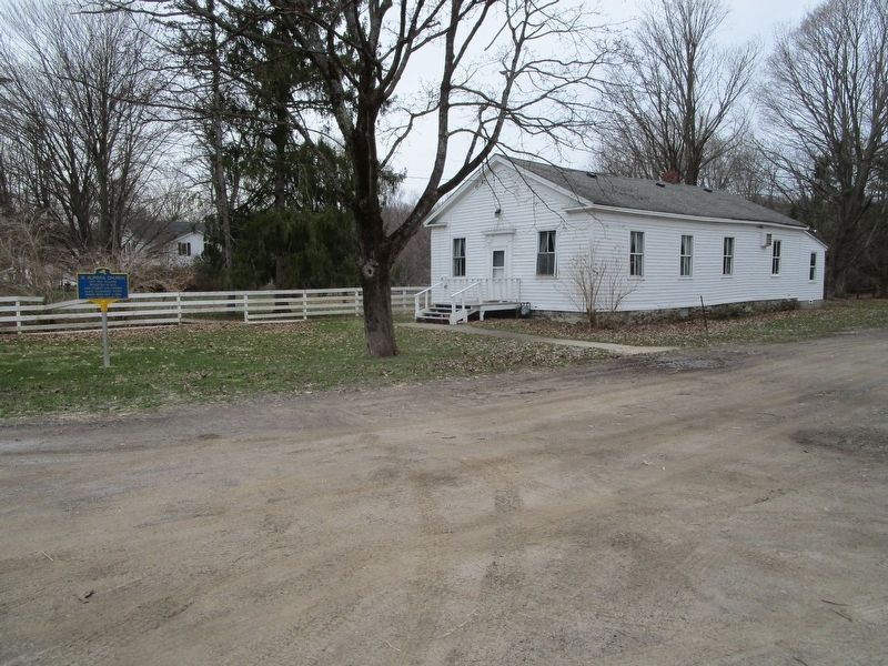
3. Meeting Hall & Marker
Photographed by Anton Schwarzmueller, April 7, 2019
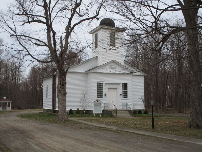
4. Griffins Mills Presbyterian Church
Credits. This page was last revised on April 7, 2019. It was originally submitted on April 7, 2019, by Anton Schwarzmueller of Wilson, New York. This page has been viewed 411 times since then and 27 times this year. Photos: 1, 2, 3, 4. submitted on April 7, 2019, by Anton Schwarzmueller of Wilson, New York.
