Arches National Park in Grand County, Utah — The American Mountains (Southwest)
Double Arch
Arches National Park
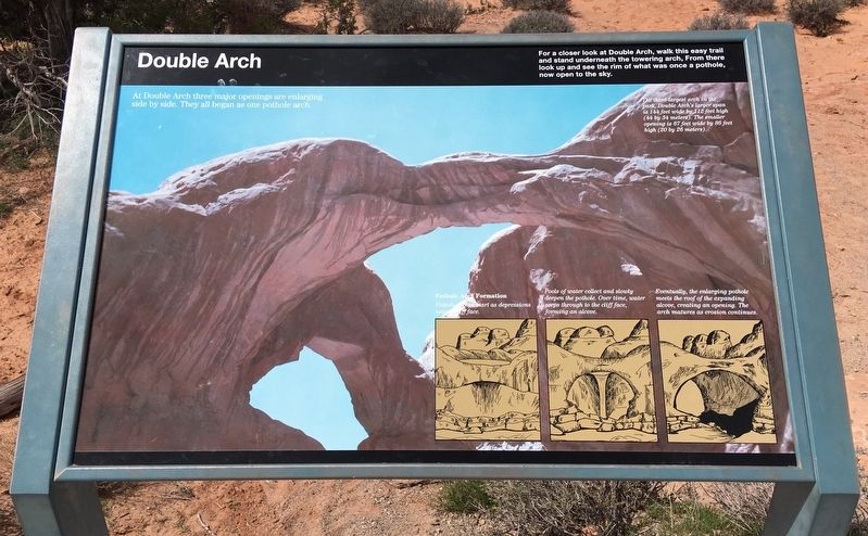
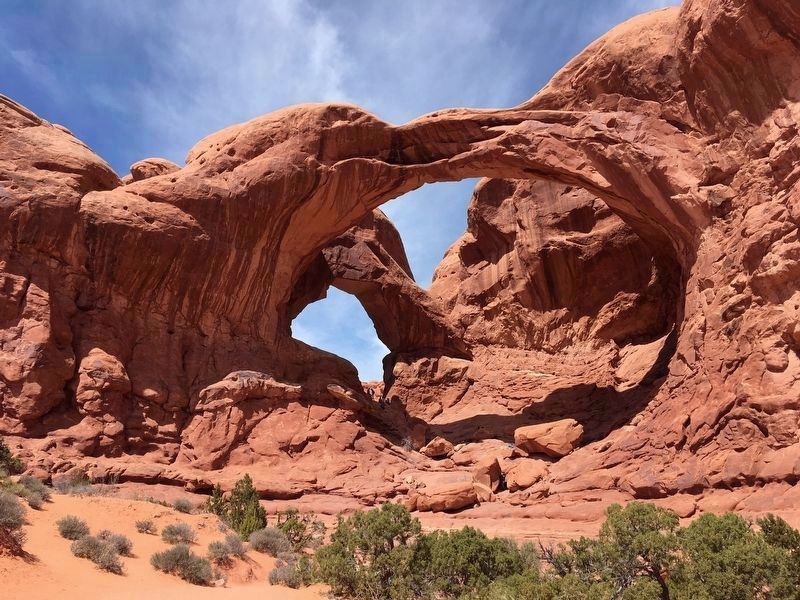
The third largest arch in the park, Double Arch's larger span is 144 feet wide by 112 feet high (44 by 34 meters). The smaller opening is 67 feet wide by 86 feet high (20 by 26 meters).
For a closer look at Double Arch, walk this easy trail and stand underneath the towering arch. From there, look up and see the rim of what was once a pothole, now open to the sky.
At Double Arch, three major openings are enlarging side by side. They all began as one pothole.
Pothole Arch Formation
Pothole arches start as depressions near a cliff face.
Pools of water collect and slowly deepen the pothole. Over time, water seeps through to the cliff face, forming an alcove.
Eventually, the enlarging pothole meets the roof of the expanding alcove, creating an opening. The arch matures as erosion continues.
Erected by National Park Service.
Topics. This historical marker is listed in this topic list: Natural Features.
Location. 38° 41.316′ N, 109° 32.295′ W. Marker is in Arches National Park, Utah, in Grand County. Marker is on The Windows Road, 2.3 miles east of Arches Scenic Drive. Touch for map. Marker is in this post office area: Moab UT 84532, United States of America. Touch for directions.
Other nearby markers. At least 8 other markers are within 7 miles of this marker, measured as the crow flies. How Arches Are Formed (about 800 feet away, measured in a direct line); Balanced Rock (approx. 1.7 miles away); Ancient Sand Dunes (approx. 3.1 miles away); Wolfe Ranch (approx. 3.4 miles away); Utah Serviceberry (approx. 6.7 miles away); Harriman's Yucca (approx. 6.7 miles away); Rubber Rabbitbrush (approx. 6.7 miles away); Grand Old Ranch House (approx. 6.8 miles away). Touch for a list and map of all markers in Arches National Park.
Credits. This page was last revised on November 13, 2020. It was originally submitted on April 7, 2019, by Craig Baker of Sylmar, California. This page has been viewed 309 times since then and 26 times this year. Photos: 1, 2, 3. submitted on April 7, 2019, by Craig Baker of Sylmar, California. • Bill Pfingsten was the editor who published this page.


