Near Wooster in Wayne County, Ohio — The American Midwest (Great Lakes)
Ohio Agricultural Experiment Station
Photographed by J. J. Prats, April 4, 2019
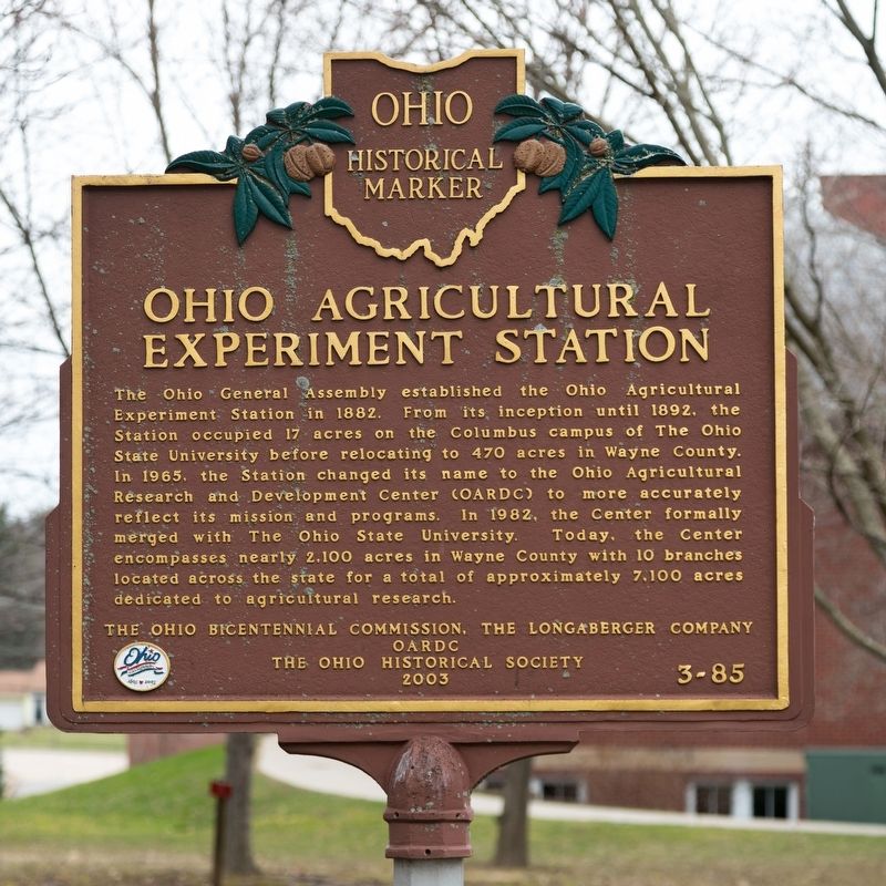
1. Ohio Agricultural Experiment Station Marker
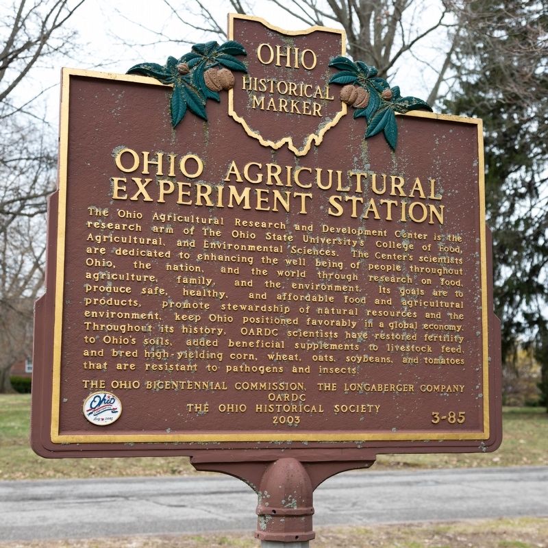
The Ohio Agricultural Research and Development Center is the research arm of The Ohio State University’s College of Food, Agricultural, and Environmental Sciences. The Center’s scientists are dedicated to enhancing the well being of people throughout Ohio, the nation, and the world through research on food, agriculture, family, and the environment. Its goals are to produce safe, healthy, and affordable food and agricultural products, promote stewardship of natural
this page online
Erected 2003 by the Ohio Bicentennial Commission, the Longaberger Company, OARDC, and The Ohio Historical Society. (Marker Number 3-85.)
Topics and series. This historical marker is listed in these topic lists: Agriculture • Education. In addition, it is included in the Ohio Historical Society / The Ohio History Connection series list. A significant historical year for this entry is 1882.
Location. 40° 46.959′ N, 81° 55.713′ W. Marker is near Wooster, Ohio, in Wayne County. It is at the intersection of Williams Road and Gerlaugh Drive, on the left when traveling east on Williams Road. It is on campus. If you use the Madison Avenue (Ohio Route 302) entrance, turn left on Campus drive, which will become Williams Road when it turns right and the marker will be right there on the left. Touch for map. Marker is at
Photographed by J. J. Prats, April 4, 2019
2. Ohio Agricultural Experiment Station Marker

Regionally, this marker is in Amish Country and in Greater Cleveland. It is also in the American Midwest and in the Corn Belt. Globally, it is in North America, the Western Hemisphere, the Western World, and the Anglosphere. Historically, it finds itself in what was once the Haudenosaunee (Iroquois) Confederacy, the territory of the Mississippian Culture, and the Northwest Territory.
Other nearby markers. At least 8 other markers are within 2 miles of this marker, measured as the crow flies: Wayne County Veterans Memorial (approx. 0.3 miles away); James H. Ross (approx. 0.3 miles away); Barnhart Rice Homestead / Frederick Rice (approx. 0.4 miles away); To the Heroes (approx. half a mile away); Crossroads of Four Major Indian Trails (approx. 0.8 miles away); The local tribes in this area (approx. 0.8 miles away); Early conflict between Sandusky Lenape and Pennsylvania militia (approx. 0.8 miles away); First House Built in Wooster (approx. 1.2 miles away). Touch for a list and map of all markers in Wooster.
Also see . . . A Brief History of OARDC.
Photographed by J. J. Prats, April 4, 2019
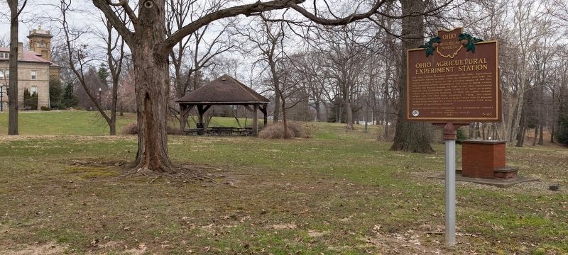
3. Ohio Agricultural Experiment Station Marker
Photographed by J. J. Prats, April 4, 2019
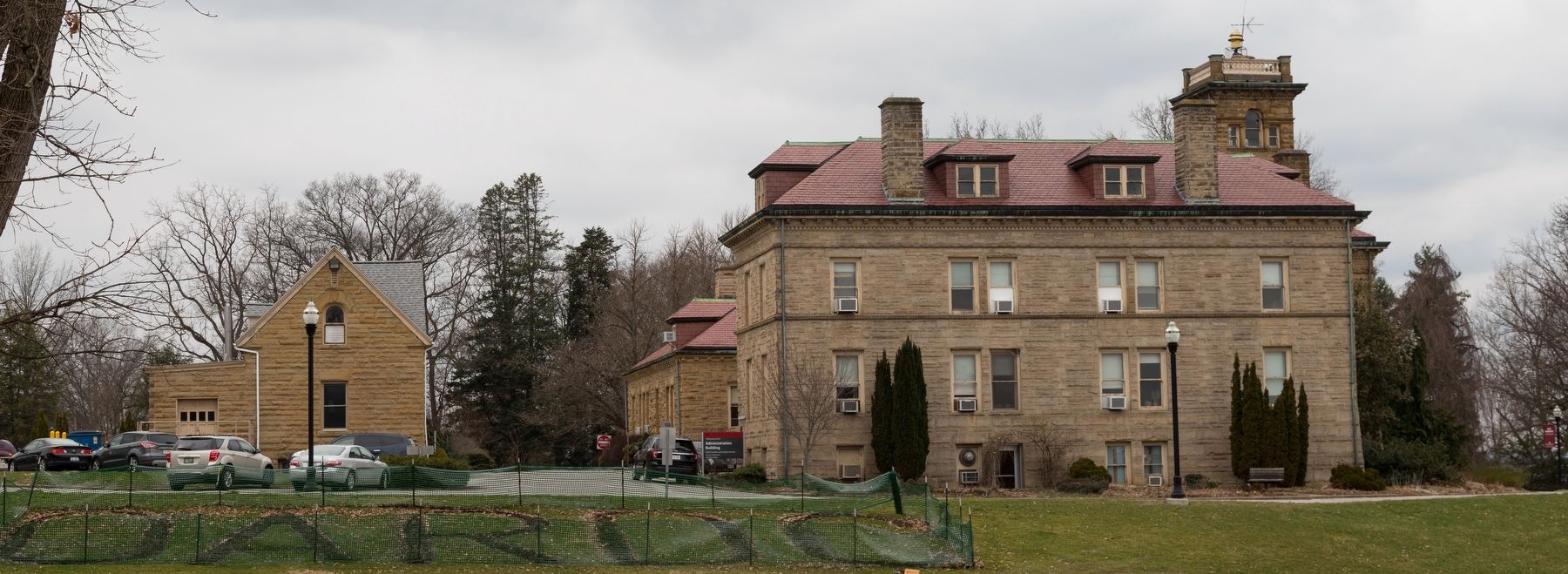
4. OSU OARDC Administration Building
Credits. This page was last revised on April 8, 2022. It was originally submitted on April 9, 2019, by J. J. Prats of Powell, Ohio. This page has been viewed 513 times since then and 50 times this year. Photos: 1, 2, 3, 4. submitted on April 9, 2019, by J. J. Prats of Powell, Ohio.
