
San Luis Potosí, Mexico — The Northeast (and Central Highlands)
Municipal Palace
Photographed by J. Makali Bruton, March 16, 2019
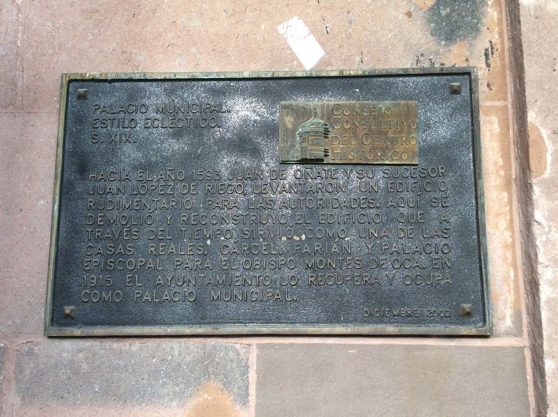
1. Municipal Palace Marker

Estilo ecléctico. S. XIX.
Hacia el año 1593 Juan de Oñate y su sucesor Juan López de Riego, levantaron un edificio rudimentario para las autoridades. Aquí se demolió y reconstruyó el edificio que a través del tiempo sirvió como una de las Casas Reales, cárcel, parián y Palacio Episcopal para el Obispo Montes de Oca. En 1915 el Ayuntamiento lo recupera y ocupa como Palacio Municipal.
Municipal Palace.
Eclectic style. 19th century.
Towards the year 1593, Juan de Oñate and his successor Juan López de Riego erected a rudimentary building for the use of the city’s authorities. On this site have been buildings that over time have served as the Royal Treasury, a jail, a market, and the Episcopal Palace for Bishop Montes de Oca. In 1915 the City Council recovered and occupied it as a Municipal Palace (or City Hall).
Erected 2002 by Consejo Consultivo del Centro Histórico.
Topics. This historical marker is listed in these topic lists: Architecture • Colonial Era • Government & Politics • Religion & Religious Structures. A significant historical year for this entry is 1593.
Location. 22° 9.118′ N,
this page online

Regionally, this marker is in Northern Mexico, in the Bajío, and in the Sierra Madre. Globally, it is in North America and the Western Hemisphere. Historically, it finds itself in what was once New Spain and also a Spanish colony.
Other nearby markers. At least 8 other markers are within walking distance of this marker: Arms Square / City Hall (within shouting distance of this marker); Former House of the Vicereine (within shouting distance of this marker); The San Luis Potosí Cathedral (within shouting distance of this marker); Metropolitan Cathedral / Vicereine's Balcony (within shouting distance of this marker); The House of the Vicereine (within shouting distance of this marker); Government Palace / Vicereine’s House (within shouting distance of this marker); General Ignacio Zaragoza (within shouting distance of this marker); Pitman House (within shouting distance
Photographed by J. Makali Bruton, March 16, 2019
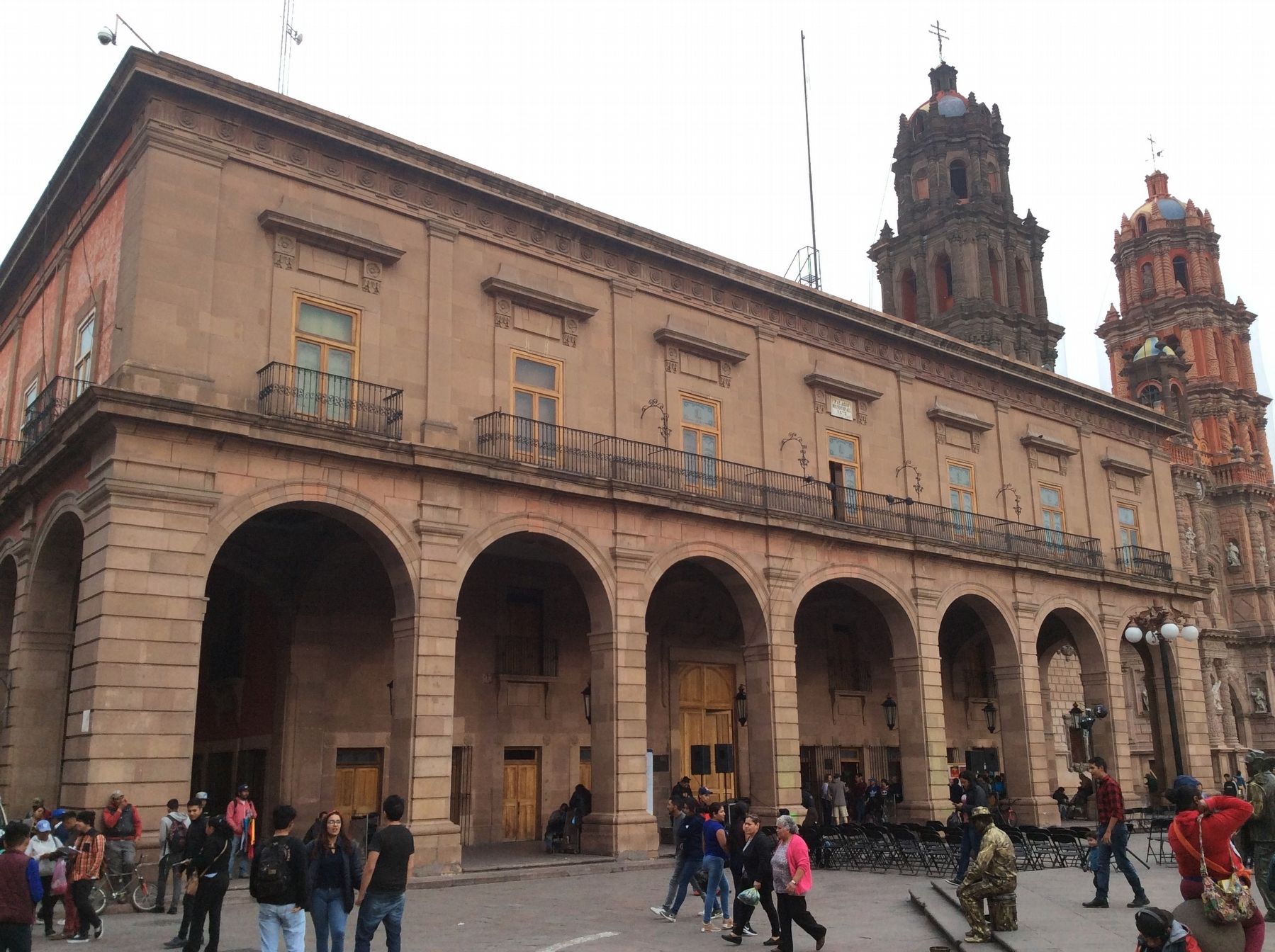
2. Municipal Palace and Marker
The marker can be seen underneath the building's corridor, to the right of the third column from the left.
Credits. This page was last revised on November 9, 2025. It was originally submitted on April 10, 2019, by J. Makali Bruton of Washington, District of Columbia. This page has been viewed 298 times since then and 17 times this year. Photos: 1, 2. submitted on April 10, 2019, by J. Makali Bruton of Washington, District of Columbia.
