North End East in Sioux Falls in Minnehaha County, South Dakota — The American Midwest (Upper Plains)
First Concrete State Highway
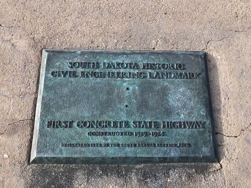
South Dakota Historic Civil Engineering Landmark
Photographed by Ruth VanSteenwyk, March 30, 2019
1. First Concrete State Highway Marker
First Concrete State Highway
Constructed 1919-1924
Designated 1984 by the South Dakota Section, ASCE
Erected 1984 by American Society of Civil Engineers – South Dakota Section.
Topics and series. This historical marker is listed in this topic list: Roads & Vehicles. In addition, it is included in the ASCE Civil Engineering Landmarks series list. A significant historical year for this entry is 1919.
Location. 43° 33.984′ N, 96° 43.453′ W. Marker is in Sioux Falls, South Dakota, in Minnehaha County. It is in North End East. It is on North Drive 0.1 miles east of 1st Avenue. Touch for map. Marker is at or near this postal address: 1600 N North Dr, Sioux Falls SD 57104, United States of America. Touch for directions.

Regionally, this marker is in East River. It is also in the American Midwest, in the Lewis & Clark Corridor, in the Corn Belt, on the prairies, and on the Northern Plains. Globally, it is in North America, the Western Hemisphere, the Western World, and the Anglosphere. Historically, it finds itself in what was once Rupert’s Land and also the Louisiana Purchase.
this page online
Other nearby markers. At least 8 other markers are within walking distance of this marker: The Dubuque House (approx. half a mile away); Frederick Manfred’s “Siouxland” (approx. half a mile away); Human Timeline (approx. half a mile away); Artisans at the Falls (approx. 0.6 miles away); In the Name of Progress (approx. 0.6 miles away); Monarch of the Plains (approx. 0.6 miles away); The Promise of Electricity (approx. 0.6 miles away); Prison Quarry (approx. 0.6 miles away). Touch for a list and map of all markers in Sioux Falls.
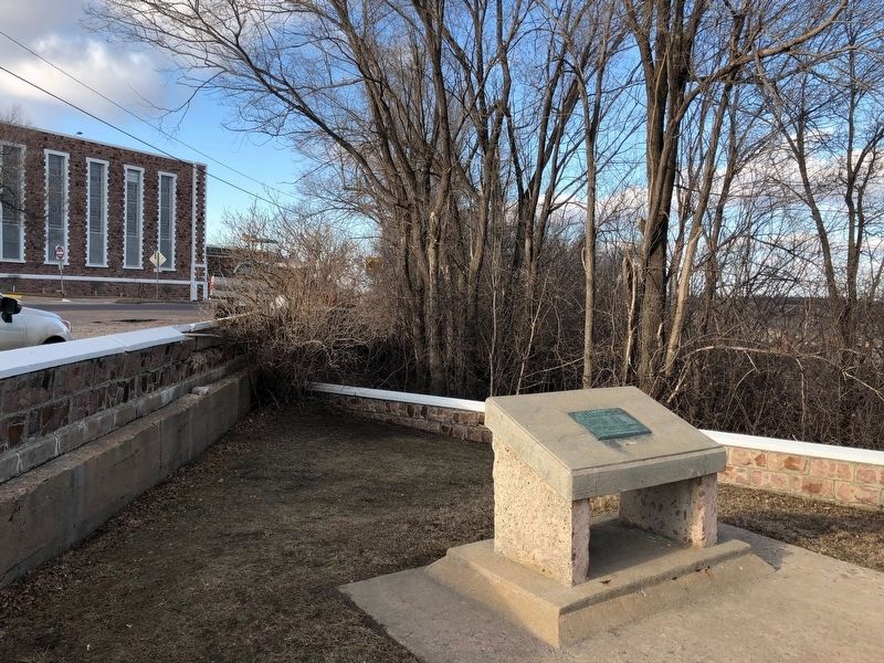
More about this marker. Located in small park across from the South Dakota State Penitentiary.
Photographed by Ruth VanSteenwyk, March 30, 2019
2. First Concrete State Highway Marker
Credits. This page was last revised on March 16, 2023. It was originally submitted on April 10, 2019, by Ruth VanSteenwyk of Aberdeen, South Dakota. This page has been viewed 502 times since then and 26 times this year. Photos: 1, 2. submitted on April 10, 2019, by Ruth VanSteenwyk of Aberdeen, South Dakota. • Bill Pfingsten was the editor who published this page.
