Sioux Falls in Minnehaha County, South Dakota — The American Midwest (Upper Plains)
Arrowhead Park

Photographed by Ruth VanSteenwyk, March 31, 2019
1. Arrowhead Park Marker (side one)
In 1982 Dale Weir and his wife and business partner Dorothy purchased the attractive prairie that had been O'Hanlon's Addition to East Sioux Falls. They built a summer home and access roads and added aerators to keep quarry waters ice free for wildlife. In 1999 the Weirs gave the property to the City of Sioux Falls for use as a nature park. They chose the name "Arrowhead" for their 131-acre gift because, as seen from the air, one quarry resembles an arrowhead.
The Weirs wanted to save the park area in its natural state, to carefully preserve the trees, shrubs, and grasses, to maintain habitat for the birds and Many wild prairie animals, and to ensure populations of fish and waterfowl in the quarry ponds.
this page online
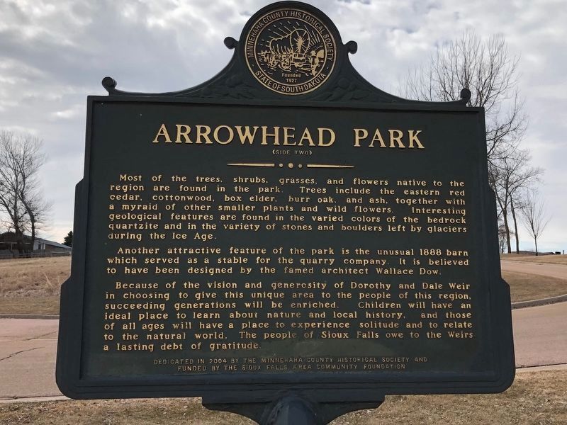
Another attractive feature of the park is the unusual 1888 barn which served as a stable for the quarry company. It is believed to have been designed by the famed architect Wallace Dow.
Because of the vision and generosity of Dorothy and Daile Weir in choosing to give this unique area to the people of this region, succeeding generations will be enriched . Children will have an ideal place to learn about nature and local history, and those of all ages will have a place to experience solitude and to relate to the natural world. The people of Sioux Falls owe to the Weirs a lasting debt of gratitude.
Erected 2004 by Minnehaha County Historical Society and funded by the Sioux Falls Area Community Foundation.
Topics. This historical marker is listed in this topic list: Parks & Recreational Areas. A significant historical year for this entry is 1887.
Location. 43° 31.538′ N,
Photographed by Ruth VanSteenwyk, March 31, 2019
2. Arrowhead Park Marker (side two)

Regionally, this marker is in East River. It is also in the American Midwest, in the Lewis & Clark Corridor, in the Corn Belt, on the prairies, and on the Northern Plains. Globally, it is in North America, the Western Hemisphere, the Western World, and the Anglosphere. Historically, it finds itself in what was once Rupert’s Land and also the Louisiana Purchase.
Other nearby markers. At least 8 other markers are within walking distance of this marker: The City of East Sioux Falls (approx. 0.2 miles away); Seed (approx. 0.3 miles away); unearth (approx. 0.3 miles away); Flourish (approx. 0.3 miles away); bud (approx. 0.3 miles away); fruit (approx. 0.3 miles away); Wilt (approx. 0.3 miles away); Disperse (approx. 0.3 miles away). Touch for a list and map of all markers in Sioux Falls.
Also see . . . Arrowhead Park.
Photographed by Ruth VanSteenwyk, March 31, 2019
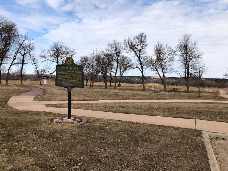
3. Arrowhead Park Marker
Credits. This page was last revised on April 14, 2019. It was originally submitted on April 10, 2019, by Ruth VanSteenwyk of Aberdeen, South Dakota. This page has been viewed 1,334 times since then and 90 times this year. Photos: 1, 2, 3. submitted on April 10, 2019, by Ruth VanSteenwyk of Aberdeen, South Dakota. • Bill Pfingsten was the editor who published this page.
