De Witt in Carroll County, Missouri — The American Midwest (Upper Plains)
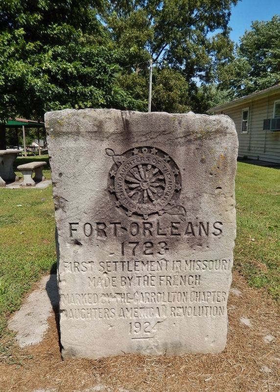
Fort Orleans
1723
made by the French
Marked by the Carrollton Chapter
Daughters American Revolution
1924
Erected 1924 by Carrollton Chapter, Daughters of the American Revolution.
Topics and series. This historical marker is listed in these topic lists: Colonial Era • Forts and Castles • Settlements & Settlers. In addition, it is included in the Daughters of the American Revolution series list. A significant historical year for this entry is 1723.
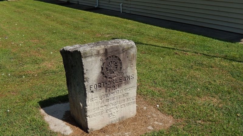
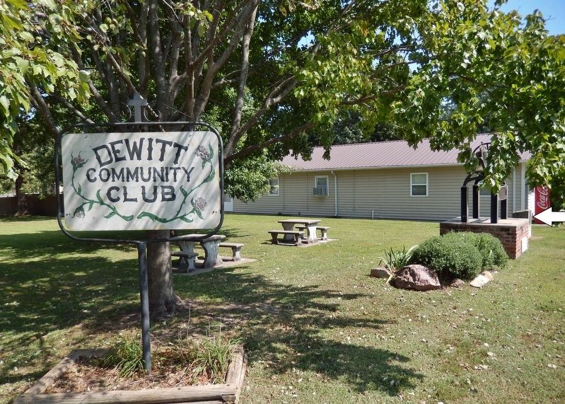
Location. 39° 23.072′ N, 93° 13.28′ W. Marker is in De Witt, Missouri, in Carroll County. Marker is on Jefferson Street east of 7th Street, on the right when traveling west. Marker is located in De Witt Community Park, near the southeast corner of the park, facing Jefferson Street. Touch for map. Marker is in this post office area: De Witt MO 64639, United States of America. Touch for directions.
Other nearby markers. At least 5 other markers are within 14 miles of this marker, measured as the crow flies. Trail of Death (here, next to this marker); a different marker also named Fort Orleans (a few steps from this marker); a different marker also named Trail of Death (approx. 5.4 miles away); "World's Largest Pecan" (approx. 5½ miles away); Replica of The Statue of Liberty (approx. 14 miles away).
Related markers. Click here for a list of markers that are related to this marker. Fort Orleans, Missouri
Also see . . .
1. Fort Orleans History. Established on 15 Nov 1723 by Frenchman Etienne Veniard, sieur de Bourgmond with a garrison of 40 men. The post was abandoned in 1728 as unprofitable and because too many French soldiers were being killed. One story indicated that the garrison at the fort was reduced to eight soldiers who were then attacked and killed by hostile Indians. The Lewis & Clark Expedition looked for the fort on 16 Jun 1804 but found no trace of it. (Submitted on April 11, 2019, by Cosmos Mariner of Cape Canaveral, Florida.)
2. Journals of the Lewis & Clark Expedition, June 16, 1804. …At the place where Mr. Mackey lay down a old french fort, I could See no traces of a Settlement of any Kind… We Came to above this place at Dark and Camped in a bad place, the misquitoes and Ticks are noumerous & bad… [Clark] (Submitted on April 11, 2019, by Cosmos Mariner of Cape Canaveral, Florida.)
3. Étienne de Veniard, Sieur de Bourgmont. Étienne de Veniard, Sieur de Bourgmont (1679 – 1734) was a French explorer who documented his travels on the Missouri and Platte rivers in North America and made the first European maps of these areas in the early 18th century. He wrote two accounts of his travels, which included descriptions of the Native American tribes he encountered. In 1723, he established Fort Orleans, the first European fort on the Missouri River, near the mouth of the Grand River and present-day Brunswick, Missouri. (Submitted on April 11, 2019, by Cosmos Mariner of Cape Canaveral, Florida.)
Credits. This page was last revised on April 11, 2019. It was originally submitted on April 10, 2019, by Cosmos Mariner of Cape Canaveral, Florida. This page has been viewed 357 times since then and 39 times this year. Photos: 1, 2, 3. submitted on April 11, 2019, by Cosmos Mariner of Cape Canaveral, Florida.


