Dover in Kent, England, United Kingdom — Northwestern Europe (the British Isles)
Capt Matthew Webb

Photographed by Mike Wintermantel, April 7, 2019
1. Capt Matthew Webb Marker
Died • Niagara • 1883
Swam from Dover to Calais Aug 24-25, 1875
Erected 1910 by Public Subscription.
Topics. This historical marker is listed in this topic list: Waterways & Vessels. A significant historical date for this entry is August 24, 1875.
Location. 51° 7.454′ N, 1° 19.117′ E. Marker is in Dover, England, in Kent. It is on Marine Parade just east of Wellesley Road, on the right when traveling west. Touch for map. Marker is in this post office area: Dover, England CT16 1LH, United Kingdom. Touch for directions.

Regionally, this marker is in the Greater South East. Globally, it is on the Atlantic Ocean, in the North Atlantic Region, in Europe, in Atlantic Europe, on one of the British Isles, in the Western World, and in the Anglosphere. Historically, it finds itself in what was once the Roman Empire.
Other nearby markers. At least 8 other markers are within walking distance of this marker: Operation Fuller (within shouting distance of this marker); The Royal Norwegian Navy (within shouting distance of this marker); Charles Stewart Rolls (about 150 meters away, measured in a direct
this page online
Also see . . . Matthew Webb at FindAGrave.com. (Submitted on April 11, 2019, by Mike Wintermantel of Pittsburgh, Pennsylvania.)

Photographed by Mike Wintermantel, April 7, 2019
2. Capt Matthew Webb Marker

Photographed by Mike Wintermantel, April 7, 2019
3. Capt Matthew Webb Marker
Backside of pedestal:
(Greek Language)
To You Belongs the Glory For Ever
Presented By
Mdme Zo (Joyce) J Sotiraki
Greek Long Distance Swimming Champion
26 Aug 1951
(Greek Language)
To You Belongs the Glory For Ever
Presented By
Mdme Zo (Joyce) J Sotiraki
Greek Long Distance Swimming Champion
26 Aug 1951

Photographed by Mike Wintermantel, April 7, 2019
4. Capt Matthew Webb Bust
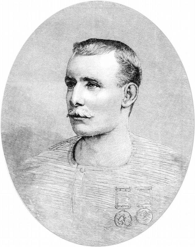
Photographed by Illustrated London News, July 1883
5. Capt Matthew Webb
Source Royal Museums Greenwich
Credits. This page was last revised on January 27, 2022. It was originally submitted on April 11, 2019, by Mike Wintermantel of Pittsburgh, Pennsylvania. This page has been viewed 264 times since then and 16 times this year. Photos: 1, 2, 3, 4, 5. submitted on April 11, 2019, by Mike Wintermantel of Pittsburgh, Pennsylvania.
