Meadville in Crawford County, Pennsylvania — The American Northeast (Mid-Atlantic)
Chestnut St. Bridge
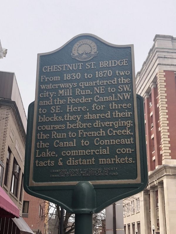
Erected 2006 by Crawford County Historical Society.
Topics. This historical marker is listed in these topic lists: Bridges & Viaducts • Industry & Commerce • Waterways & Vessels. A significant historical year for this entry is 1830.
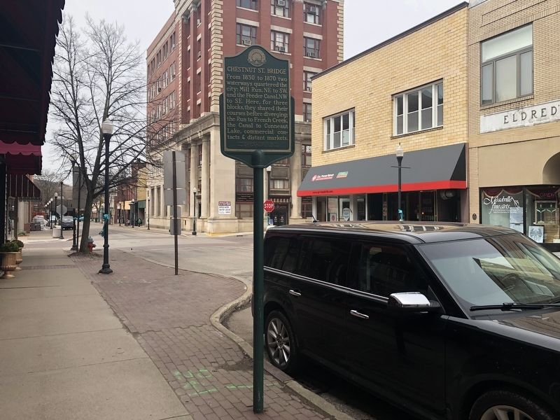
Location. 41° 38.295′ N, 80° 9.195′ W. Marker is in Meadville, Pennsylvania, in Crawford County. It is on Chestnut Street east of Market Street, on the right when traveling west. Touch for map. Marker is at or near this postal address: 247 Chestnut Street, Meadville PA 16335, United States of America. Touch for directions.

Regionally, this marker is in Northwestern Pennsylvania and in Greater Erie. It is also in the American Northeast, in the Mid-Atlantic, in Appalachia, and specifically in Northern Appalachia. Globally, it is in North America, the Western Hemisphere, the Western World, and the Anglosphere. Historically,
this page online
Other nearby markers. At least 8 other markers are within walking distance of this marker: Meridian Building (within shouting distance of this marker); Meadville Woolen Mills (within shouting distance of this marker); Historic District (within shouting distance of this marker); Meadville Market House (within shouting distance of this marker); Mill Run (within shouting distance of this marker); The Kepler Hotel (about 300 feet away, measured in a direct line); Roddy Law Office (about 300 feet away); The Spirella Company (about 300 feet away). Touch for a list and map of all markers in Meadville.
Credits. This page was last revised on April 14, 2019. It was originally submitted on April 14, 2019, by Devry Becker Jones of Washington, District of Columbia. This page has been viewed 384 times since then and 37 times this year. Photos: 1, 2. submitted on April 14, 2019, by Devry Becker Jones of Washington, District of Columbia.
