Beaumont in Catoosa County, Georgia — The American South (South Atlantic)
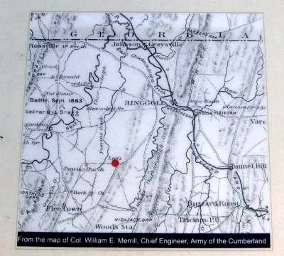
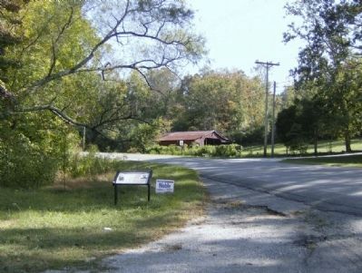
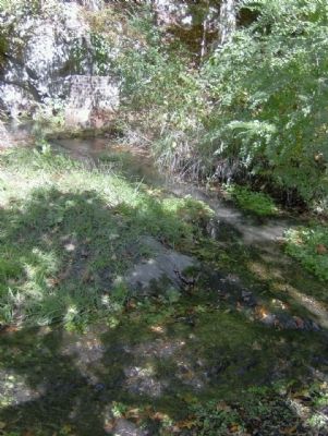
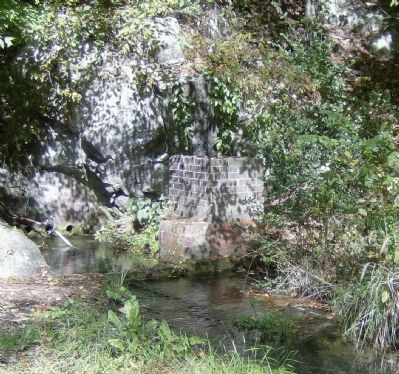
Leet's Spring and Tanyard
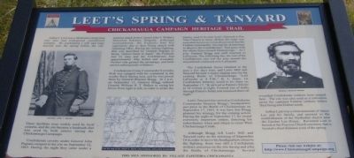
Chickamauga Campaign Heritage Trail
These facilities were widely used by local citizens, and the site became a landmark that was used by both armies during the Chickamauga Campaign..
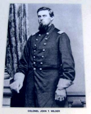
Confederate cavalry under General John Pegram camped at the site on September 12, 1863. During the night they came under a surprise attack from Colonel John T. Wilder’s Mounted Infantry Brigade. Although outnumbered, the Federals had fire superiority due to their being armed with repeating rifles During the intense fighting, that was described by General Pegram as being “almost hand to hand,” the Federals lost 15 men and the Confederates had approximately fifty killed and wounded. Neither side gained the advantage, and both parties subsequently withdrew.
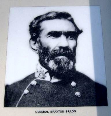
Confederate Corps Commander Leonidas Polk was camped with his command in the nearby Rock Spring area, and he was joined there by General Braxton Bragg. At 2 p.m. on September 13, General Bragg ordered General William H.T. Walker to swing his forces from right to left, in order to strike the enemy, said to be near Leet’s Tanyard at Pea Vine Church in force. Before the order was executed, however, it was discovered that the Federal commander, leaving his skirmishers to deceive the Confederates, “had gone with his whole force toward Chattanooga.” At 5 p.m. General Bragg and staff returned to LaFayette. The following day, the rest of the Confederates also left the area around the tanyard and continued on to LaFayette.
The Confederate forces returned to the area a few days later, and Leet’s Mill and Tanyard became a major staging area for the coming Battle of Chickamauga. “Left LaFayette at 4 P.M.,” R. J. Jones, 1st Confederate Infantry, noted in his diary on September 17, “& arrived at Patton’s St[o]re at 10 o’clock at night. Formed line of battle through Patton’s fields and remained there all night.”
Leet’s Tanyard also served as Confederate Commander Braxton Bragg’s headquarters just prior to the Battle of Chickamauga on September 17, 1863. It was here that Bragg planned his strategy for the coming action. During the night of September 1, he issued extremely important orders, directing his subordinates when and where to cross West Chickamauga Creek.
Although Bragg left Leet’s Mill and Tanyard early on the morning of September 18 in order to move his headquarters closer to the fighting, there was still a Confederate military presence on the site during and after the Battle of Chickamauga. Several wounded Confederate soldiers were treated here. The
site was also used as a collection point for captured Federal soldiers before their being sent further south.
Erected by Chickamauga Campaign Heritage Trail.
Topics and series. This historical marker is listed in these topic lists: Settlements & Settlers • War, US Civil. In addition, it is included in the Chickamauga Campaign Heritage Trail series list. A significant historical date for this entry is September 12, 1863.
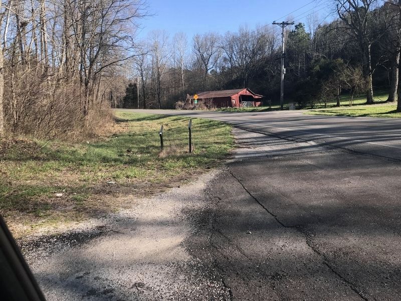
Location. This marker has been replaced by another marker nearby. It was located near 34° 50.26′ N, 85° 11.497′ W. Marker was in Beaumont, Georgia, in Catoosa County. Marker was at the intersection of Mt Pisgah Road and Potts Road, on the right when traveling west on Mt Pisgah Road. Touch for map. Marker was in this post office area: Rock Spring GA 30739, United States of America. Touch for directions.
Other nearby markers. At least 8 other markers are within 5 miles of this location, measured as the crow flies. Peavine Church (approx. 1.8 miles away); Rock Springs Church (approx. 2.9 miles away); Old Tavern Road (approx. 3.1 miles away); Anderson Campsite (approx. 3.2 miles away); The Napier House (approx. 3.2 miles away); Nickajack Gap (approx. 3.3 miles away); Worthen's Gap (approx. 4.1 miles away); Henderson Plantation (approx. 4.1 miles away).
More about this marker. Chickamauga Campaign Heritage Trail, Army of Tennessee site #11.
Also see . . . The Chickamauga Campaign Heritage Trail. (Submitted on November 1, 2008, by David Tibbs of Resaca, Georgia.)
Credits. This page was last revised on March 9, 2021. It was originally submitted on November 1, 2008, by David Tibbs of Resaca, Georgia. This page has been viewed 2,492 times since then and 55 times this year. Photos: 1, 2, 3, 4, 5. submitted on November 1, 2008, by David Tibbs of Resaca, Georgia. 6. submitted on March 8, 2021, by Duane and Tracy Marsteller of Murfreesboro, Tennessee. 7, 8. submitted on November 1, 2008, by David Tibbs of Resaca, Georgia. • Craig Swain was the editor who published this page.
