Near Inverness in Citrus County, Florida — The American South (South Atlantic)
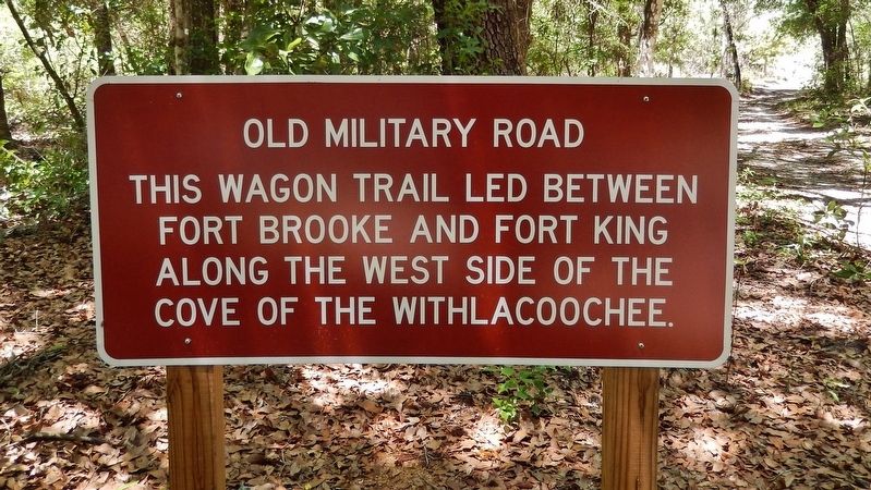
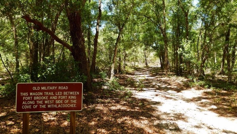
Old Military Road
This wagon trail led between Fort Brooke and Fort King along the west side of the Cove of the Withlacoochee.
Topics. This historical marker is listed in these topic lists: Forts and Castles • Roads & Vehicles.
Location. 28° 48.343′ N, 82° 18.534′ W. Marker is near Inverness, Florida, in Citrus County. Marker can be reached from Old Floral City Road, 0.2 miles south of Carnegie Drive, on the right when traveling south. Marker is located within Fort Cooper State Park, along the Seminole Heritage Trail, about one mile inside the park and a 1/4 mile walk from the parking lot, at the intersection of the Seminole Heritage Trail and the Old Military Road Trail. Touch for map. Marker is at or near this postal address: 3100 South Old Floral City Road, Inverness FL 34450, United States of America. Touch for directions.
Other nearby markers. At least 8 other markers are within walking distance of this marker. War Comes to the Cove (a few steps from this marker); A Costly Florida War (about 800 feet away, measured in a direct line); Lonely Outpost in a Hostile Land (about 800 feet away); Life Along the Withlacoochee (approx. 0.2 miles away); Fort Cooper (approx. 0.3 miles away); Florida's First People (approx. 0.4 miles away); The Seminole in the Cove of the Withlacoochee (approx. 0.4 miles away); a different marker also named Fort Cooper (approx. 0.8 miles away). Touch for a list and map of all markers in Inverness.
Related markers. Click here for a list of markers that are related to this marker. Fort Cooper, The Seminole Heritage Trail, and the Second Seminole War
Also see . . . Walking the Fort King Military Road. The old military road, which stretched roughly 100 miles through the wilderness, would be fought over more than once. Parts of it are still visible. You can get a glimpse of the past at one of three state parks that still preserve the old trail pretty much the way it looked in the 1830's. At Fort Cooper, in the spring of 1836, Gen. Winfield Scott led a beleaguered band of Georgia volunteers to the area that is now called Inverness to rest and recover from their wounds alongside Lake Holathlikaha. The soldiers built a stockade out of rough-hewn logs, fearing another attack like the one that had wiped out Dade's command. (Submitted on April 18, 2019, by Cosmos Mariner of Cape Canaveral, Florida.)
Credits. This page was last revised on April 18, 2019. It was originally submitted on April 16, 2019, by Cosmos Mariner of Cape Canaveral, Florida. This page has been viewed 271 times since then and 24 times this year. Photos: 1, 2, 3. submitted on April 18, 2019, by Cosmos Mariner of Cape Canaveral, Florida.


