Weare in Hillsborough County, New Hampshire — The American Northeast (New England)
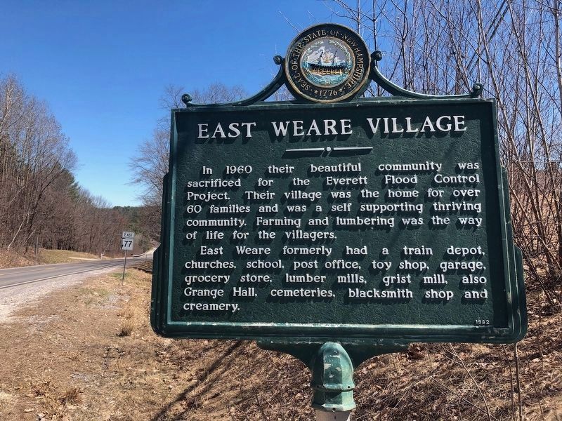
East Weare Village
Erected 1982 by NH Dept. of Natural & Cultural Resources - Div. of Historical Resources. (Marker Number 0143.)
Topics. This historical marker is listed in these topic lists: Agriculture • Communications • Industry & Commerce • Settlements & Settlers. A significant historical year for this entry is 1960.
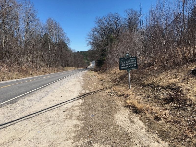
Location. 43° 8.25′ N, 71° 41.09′ W. Marker is in Weare, New Hampshire, in Hillsborough County. Marker is at the intersection of Concord Stage Road (New Hampshire Route 77) and South Sugar Hill Road, on the right when traveling east on Concord Stage Road. Touch for map. Marker is in this post office area: Weare NH 03281, United States of America. Touch for directions.
Other nearby markers. At least 8 other markers are within 6 miles of this marker, measured as the crow flies. Molly Stark House (approx. 2.9 miles away); The Stanley Tavern (approx. 3.8 miles away); William H. Long Memorial Building (approx. 3.8 miles away); Rev Jacob Cram (approx. 3.8 miles away); Hopkinton and Contoocook Veterans Monument (approx. 3.8 miles away); Hopkinton World War I Monument (approx. 3.8 miles away); Piscataquog River Mill Sites (approx. 3.8 miles away); Turkey Pond ~ 1938 Hurricane (approx. 5˝ miles away).
Also see . . . The Lost City of East Weare. (Submitted on April 17, 2019, by Douglas Finney of Concord, New Hampshire, USA.)
Credits. This page was last revised on November 24, 2019. It was originally submitted on April 17, 2019, by Douglas Finney of Concord, New Hampshire, USA. This page has been viewed 703 times since then and 72 times this year. Photos: 1, 2. submitted on April 17, 2019, by Douglas Finney of Concord, New Hampshire, USA. • Andrew Ruppenstein was the editor who published this page.

