Helena in Karnes County, Texas — The American South (West South Central)
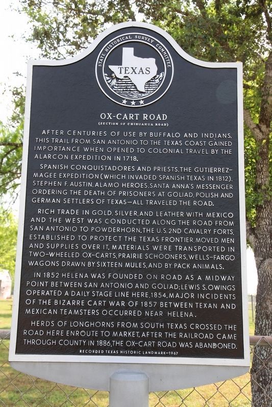
Ox-Cart Road
(Section of Chihuahua Road)
After centuries of use by buffalo and Indians, this trail from San Antonio to the Texas coast gained importance when opened to colonial travel by the Alarcon Expedition in 1718.
Spanish conquistadores and priests, the Gutierrez-Magee Expedition (which invaded Spanish Texas in 1812), Stephen F. Austin, Alamo heroes, Santa Anna's messenger ordering the death of prisoners at Goliad, Polish and German settlers of Texas - all traveled the road.
Rich trade in gold, silver, and leather with Mexico and the West was conducted along the road from San Antonio to Powderhorn. The U.S. 2nd Cavalry Forts, established to protect the Texas frontier, moved men and supplies over it. Materials were transported in two-wheeled ox-carts, prairie schooners, Wells-Fargo wagons drawn by sixteen mules, and by pack animals.
In 1852 Helena was founded on road as a midway point between San Antonio and Goliad; Lewis S. Owings operated a daily stage line here, 1854. Major incidents of the bizarre Cart War of 1857 between Texan and Mexican teamsters occurred near Helena.
Herds of longhorns from South Texas crossed the road here enroute to market. After the railroad came through county in 1886, the Ox-Cart Road was abandoned.
Erected 1967 by State Historical Survey Committee. (Marker Number 3892.)
Topics. This historical marker is listed in this topic list: Roads & Vehicles.
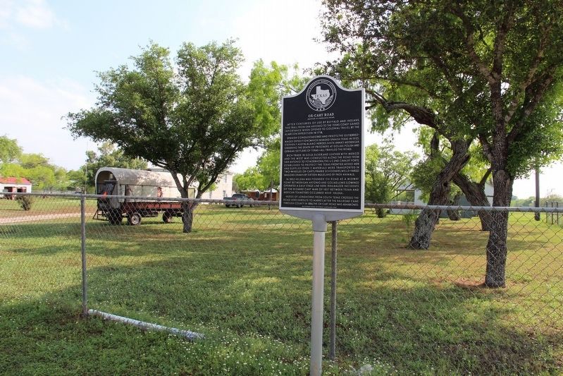
Location. 28° 57.048′ N, 97° 49.236′ W. Marker is in Helena, Texas, in Karnes County. Marker is at the intersection of Farm to Market Road 81 and County Road 302, on the left when traveling north on Road 81. Touch for map. Marker is in this post office area: Karnes City TX 78118, United States of America. Touch for directions.
Other nearby markers. At least 8 other markers are within 5 miles of this marker, measured as the crow flies. Helena (within shouting distance of this marker); Helena Union Church (within shouting distance of this marker); Thomas Ruckman (within shouting distance of this marker); Old Helena Courthouse (within shouting distance of this marker); St. Joseph's School (approx. 4.7 miles away); Immaculate Conception Church (approx. 4.7 miles away); Town of Panna Maria (approx. 4.7 miles away); Panna Maria, Texas (approx. 4.7 miles away). Touch for a list and map of all markers in Helena.
Also see . . . Cart War - The Handbook of Texas Online. Texas State Historical Association (TSHA) (Submitted on April 18, 2019, by Brian Anderson of Humble, Texas.)
Credits. This page was last revised on November 25, 2020. It was originally submitted on April 17, 2019, by Brian Anderson of Humble, Texas. This page has been viewed 242 times since then and 24 times this year. Photos: 1, 2. submitted on April 17, 2019, by Brian Anderson of Humble, Texas.

