Conneaut in Ashtabula County, Ohio — The American Midwest (Great Lakes)
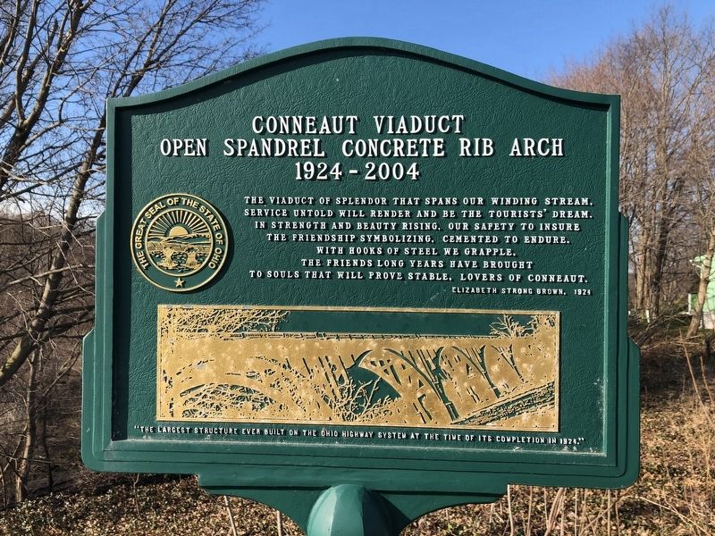
Conneaut Viaduct
Open Spandrel Concrete Rib Arch
— 1924-2004 —
Service untold will render and be the tourists' dream.
In the strength and beauty rising, our safety to insure
The friendship symbolizing, cemented to endure,
with hooks of steel we grapple,
The friends long years have brought
To souls that will prove stable, lovers of Conneaut.
Topics. This historical marker is listed in these topic lists: Bridges & Viaducts • Roads & Vehicles. A significant historical year for this entry is 1924.
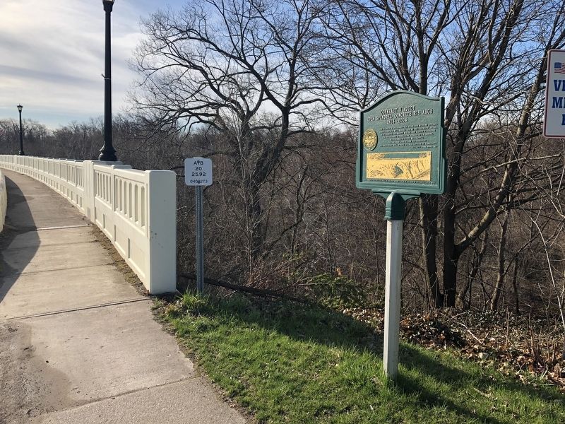
Location. 41° 56.511′ N, 80° 33.16′ W. Marker is in Conneaut, Ohio, in Ashtabula County. Marker is on U.S. 20 east of Keyes Street, on the right when traveling east. Touch for map. Marker is at or near this postal address: 185 Keyes Street, Conneaut OH 44030, United States of America. Touch for directions.
Other nearby markers. At least 8 other markers are within walking distance of this marker. Remembering Our Fallen Heroes (about 700 feet away, measured in a direct line); Western Reserve (approx. 0.2 miles away); Conneaut Veterans Memorial (approx. ¼ mile away); Veterans Memorial (approx. ¼ mile away); Conneaut (approx. 0.4 miles away); Nickel Plate Road Berkshire Locomotive No. 755 (approx. 0.6 miles away); Hopper Car and Caboose (approx. 0.6 miles away); Conneaut Historical Railroad Museum (approx. 0.6 miles away). Touch for a list and map of all markers in Conneaut.
Credits. This page was last revised on April 17, 2019. It was originally submitted on April 17, 2019, by Devry Becker Jones of Washington, District of Columbia. This page has been viewed 967 times since then and 669 times this year. Photos: 1, 2. submitted on April 17, 2019, by Devry Becker Jones of Washington, District of Columbia.

