Near Markleeville in Alpine County, California — The American West (Pacific Coastal)
Grover Hot Springs
Photographed by Syd Whittle, June 27, 2007
1. Grover Hot Springs Marker
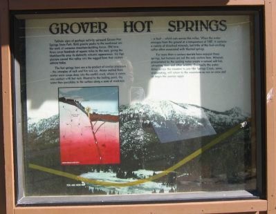
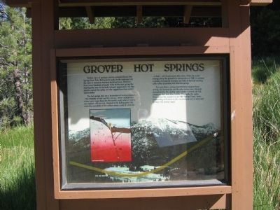
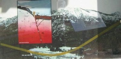
The hot-springs here are a by-product of similar processes – the interplay of rock and fire and ice. Water melted from winter snow seeps deep into the earth’s crust, where it comes into contact with hot rock. Heated to the boiling point, the water then percolates to the surface along a zone of weakness – a fault – which cuts across this valley. When the water emerges from the ground at a temperature of 148 degrees, it contains a variety of dissolved minerals, but little of the foul-smelling sulfur often associated with thermal springs.
For more than a century tourists have enjoyed these springs, but humans are not the only visitors here. Minerals precipitated by the cooling water create a natural salt lick, attracting deer and other wildlife.
this page online
Erected by Grover Hot Springs State Park.
Topics. This historical marker is listed in these topic lists: Exploration • Natural Features • Natural Resources • Notable Places • Science & Medicine.
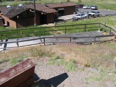
Location. 38° 41.744′ N, 119° 50.635′ W. Marker is near Markleeville, California, in Alpine County. It can be reached from Hot Springs Road. Marker is located up a short trail above the pools. Touch for map. Marker is in this post office area: Markleeville CA 96120, United States of America. Touch for directions.

Regionally, this marker is in California’s Sierra Nevada. It is also in the American Mountain West. Globally, it is in North America, the Pacific Rim, the Western Hemisphere, the Western World, and the Anglosphere. Historically, it finds itself in what was once New Spain and also Mexico’s Alta California.
Other nearby markers. At least 8 other markers are within 4 miles of
Photographed by Syd Whittle, June 27, 2007
2. Grover Hot Springs Marker
Regarding Grover Hot Springs. Also see nearby marker Beautiful Hot Springs Valley marker for additional information.
Also see . . .
1. Grover Hot Springs State Park. (Submitted on November 2, 2008, by Syd Whittle of Mesa, Arizona.)
2. Grover Hot Springs. (Submitted on November 2, 2008, by Syd Whittle of Mesa, Arizona.)
Photographed by Syd Whittle, June 27, 2007
3. Close-Up of Photo on Marker
Photographed by Syd Whittle, June 27, 2007
4. Grover Hot Springs
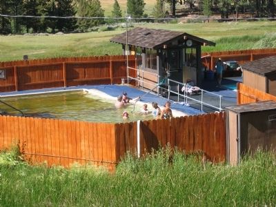
Photographed by Syd Whittle, June 27, 2007
5. The Present Day Grover Hot Springs Pool
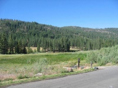
Photographed by Syd Whittle, June 27, 2007
6. The Meadow Mentioned on Marker
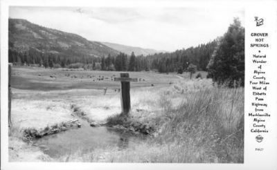
Photographed by Frasher Foto
7. Grover Hot Springs
Description on Postcards: Natural Wonder of Alpine County four miles west of Ebbetts Pass Highway from Markleeville, Alpine County, California
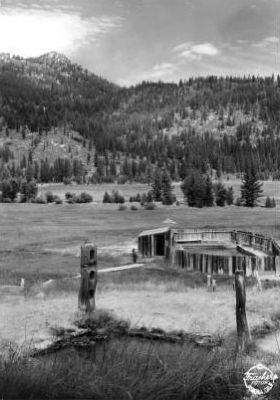
Photographed by Frasher Foto
8. Grover Hot Springs
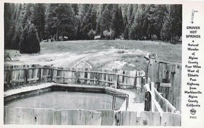
Photographed by Frasher Foto
9. Grover Hot Springs
Description on Postcards: Natural Wonder of Alpine County four miles west of Ebbetts Pass Highway from Markleeville, Alpine County, California
Credits. This page was last revised on June 16, 2016. It was originally submitted on November 2, 2008, by Syd Whittle of Mesa, Arizona. This page has been viewed 6,805 times since then and 37 times this year. Photos: 1, 2, 3, 4, 5, 6, 7, 8, 9. submitted on November 2, 2008, by Syd Whittle of Mesa, Arizona.
