San Luis Potosí, Mexico — The Northeast (and Central Highlands)
Water Reservoir
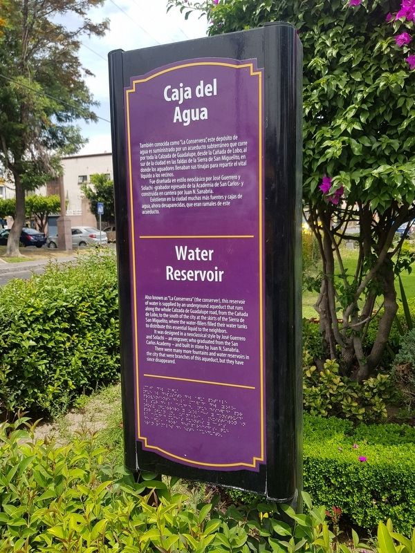
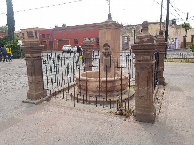
También conocida como “La Conservera,” este depósito de agua es suministrado por un acueducto subterráneo que corre por toda la Calzada de Guadalupe, desde la Cañada de Lobo, sur de la ciudad en las faldas de la Sierra de San Miguelito, en donde los aguadores llenaban sus tinajas para repartir el vital líquido a los vecinos.
Fue diseñada en estilo neoclásico por José Guerrero y Solachi - grabador egresado de la Academia de San Carlos – y construida en cantera por Juan N. Sanabria.
Existieron en la ciudad muchas más fuentes y cajas de agua, ahora desaparecidas, que eran ramales de este acueducto.
Water Reservoir
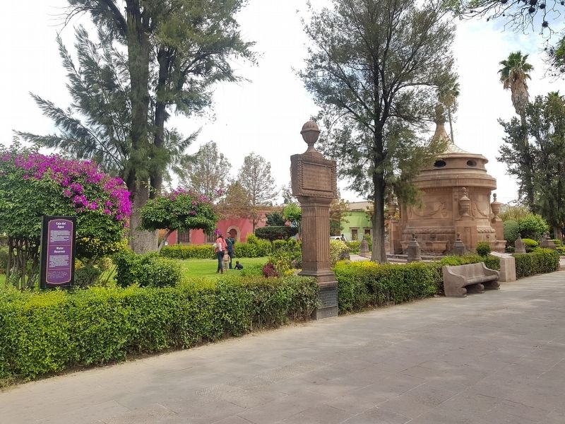
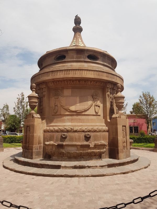
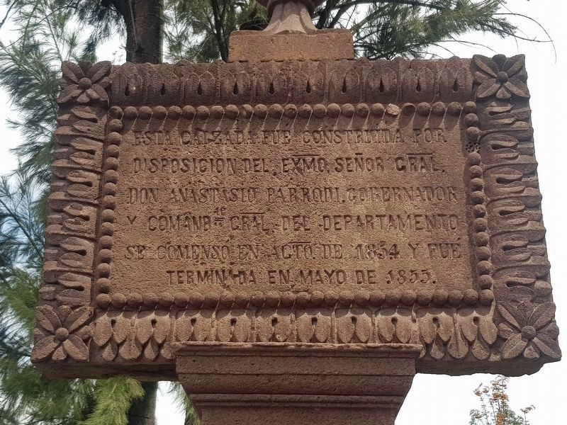
Also known as “La Conservera” (the conserver), this reservoir of water is supplied by an underground aqueduct that runs along the whole Calzada de Guadalupe road, from the Cañada de Lobo, to the south of the city at the skirts of the Sierra de San Miguelito, where the water-fillers filled their water tanks to distribute this essential liquid to the neighbors.
It was designed in a neoclassical style by José Guerrero and Solachi - an engraver, who graduated from the San Carlos Academy - and built in stone by Juan N. Sanabria.
There were many more fountains and water reservoirs in the city that were branches of this aqueduct, but they have since disappeared.
Topics. This historical marker is listed in these topic lists: Architecture • Man-Made Features • Waterways & Vessels.
Location. 22° 8.737′ N, 100° 58.461′ W. Marker is in San Luis Potosí. Marker is at the intersection of Calzada de Guadalupe and Sevilla y Olmedo, in the median on Calzada de Guadalupe. Touch for map. Marker is in this post office area: San Luis Potosí 78000, Mexico. Touch for directions.
Other nearby markers. At least 8 other markers are within walking distance of this marker. Guadalupe Road (within shouting distance of this marker); The 100th Anniversary of Mexican Independence (about 90 meters away, measured in a direct line); Colón Garden (about 150 meters away); La Cubana (about 180 meters away); San Miguelito Square (about 210 meters away); José Nereo Ambrosio Rodríguez Barragán (approx. 0.3 kilometers away); Lupe Vélez (approx. 0.3 kilometers away); Ramón López Velarde (approx. 0.3 kilometers away). Touch for a list and map of all markers in San Luis Potosí.
Credits. This page was last revised on January 2, 2020. It was originally submitted on April 19, 2019, by J. Makali Bruton of Accra, Ghana. This page has been viewed 218 times since then and 10 times this year. Photos: 1, 2, 3, 4, 5, 6. submitted on April 19, 2019, by J. Makali Bruton of Accra, Ghana.
