Presidio of San Francisco in San Francisco City and County, California — The American West (Pacific Coastal)
Crissy Field Transformed
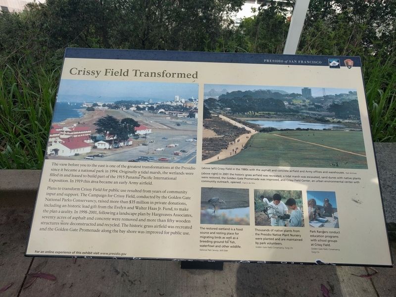
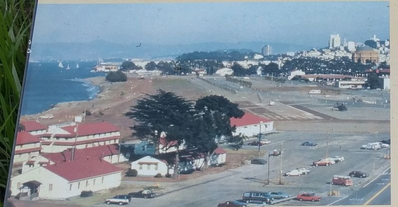
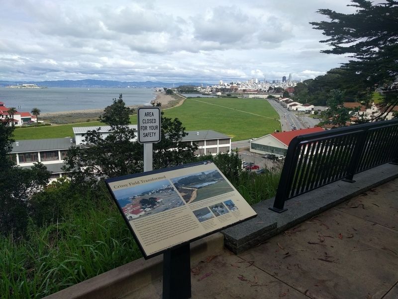
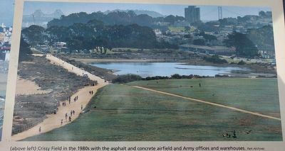
The view before you to the east is one of the greatest transformations at the Presidio since it became a national park in 1994. Originally a tidal marsh, the wetlands were filled in and leased to build part of the 1915 Panama-Pacific International Exposition. In 1919 this area became an early Army airfield.
Plans to transform Crissy Field for public use resulted from years of community input and support. The Campaign for Crissy Field, conducted by the Golden Gate National Parks Conservancy, raised more than $35 million in private donations, including an historic lead gift from the Evely and Walter Haas Jr. Fund, to make the plan a reality. In 1998-2001, following a landscape plan by Hargreaves Associates, seventy acres of asphalt and concrete were removed and more than fifty wooden structures were deconstructed and recycled. The historic grass airfield was recreated and the Golden Gate Promenade along the bay shore was improved for public use.
Erected by Presidio of San Francisco, National Park Service.
Topics. This historical marker is listed in these topic lists: Air & Space • Forts and Castles • Parks & Recreational Areas. A significant historical year for this entry is 1994.
Location. 37° 48.247′ N, 122° 28.161′ W. Marker is in San Francisco, California, in San Francisco City and County. It is in Presidio of San Francisco. Marker is on Lincoln Boulevard south of Lendrum Court, on the left when traveling south. This marker is about 0.4 mile south of the Golden Gate Bridge Welcome Center. Touch for map. Marker is in this post office area: San Francisco CA 94129, United States of America. Touch for directions.
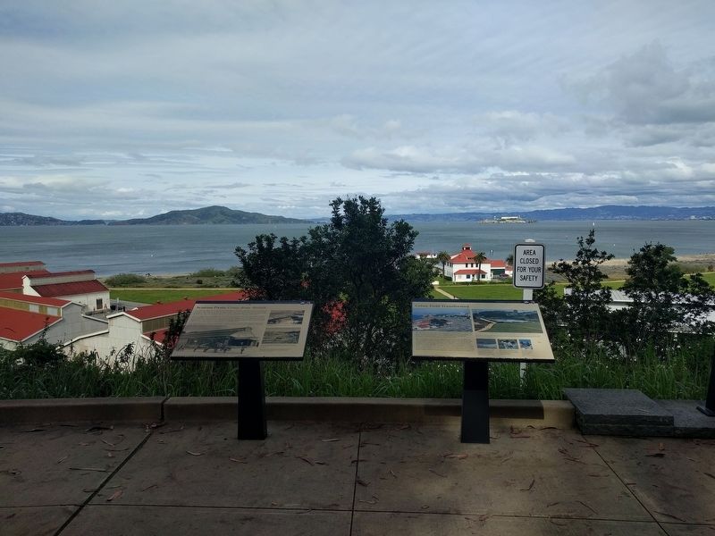
Other nearby markers. At least 8 other markers are within walking distance of this marker. Aviation Firsts: Crissy Army Airfield (here, next to this marker); Gulf of the Farallones National Marine Sanctuary (approx. 0.2 miles away); Daring Pilots, Youthful Heroes (approx. 0.2 miles away); Braving Wind and Waves (approx. 0.2 miles away); Crissy Field (approx. 0.3 miles away); Setting A Deadly Obstacle Course (approx. 0.3 miles away); Fort Point National Historic Site (approx. 0.4 miles away); Resisting the Twisting (approx. 0.4 miles away). Touch for a list and map of all markers in San Francisco.
Photographed By Francis de Silva
3. Upper right image
In 2001 the historic grass airfield was recreated, a tidal marsh was excavated, sand dunes with native plants were restored, the Golden Gate Promenade was improved, and Crissy Field Center, an urban environmental center with community outreach, opened.
Photographed By Left: National Park Service, Will Elder; Middle & right: Golden Gate Parks Conservatory, Tung Chi
4. Lower right images
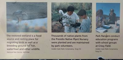
Left: The restored wetland is a food source and resting place for migrating birds as well as a breeding ground for fish, waterfowl and other wildlife.
Middle: Thousands of native plants from the Presidio Native Plant Nursery were planted and are maintained by park volunteers.
Right: Park Rangers conduct education programs with school groups at Crissy Field.
Middle: Thousands of native plants from the Presidio Native Plant Nursery were planted and are maintained by park volunteers.
Right: Park Rangers conduct education programs with school groups at Crissy Field.
Credits. This page was last revised on February 7, 2023. It was originally submitted on April 20, 2019, by Joel Seewald of Madison Heights, Michigan. This page has been viewed 270 times since then and 19 times this year. Photos: 1, 2, 3, 4, 5, 6. submitted on April 20, 2019, by Joel Seewald of Madison Heights, Michigan.
