Ashkelon, Southern District, Israel — West Asia (the Levant in the Middle East)
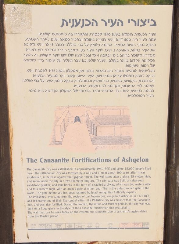
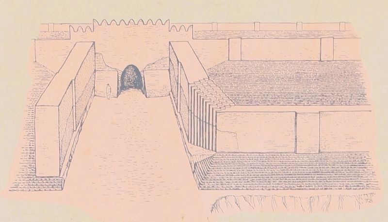
The Canaanite Fortifications of Ashqelon
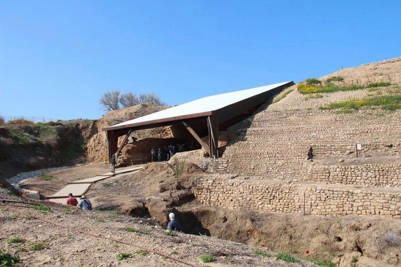
The Philistines, who came from the region of the Aegean Sea, conquered Ashqelon in 1175 BCE, and it became one of their five central cities. The Philistine city was smaller than the Canaanite one, and was also fortified. During the Roman, Byzantine, and Muslim periods, the city wall was built on a huge glacis in the style of the Canaanite fortification that preceded it.
The wall that can be seen today on the eastern and southern side of ancient Ashqelon dates from the Muslim period.
Topics. This historical marker is listed in these topic lists: Forts and Castles • Parks & Recreational Areas • Settlements & Settlers.
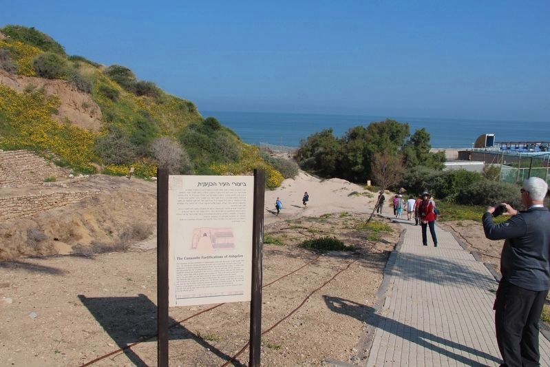
Location. 31° 40.069′ N, 34° 32.948′ E. Marker is in Ashkelon, Southern District. Marker can be reached from T. Ben Amar Street just south of Sderot David Ben Gurion, on the right when traveling south. The marker is located in Ashkelon National Park, along a park walkway, that leads to the entrance of the Canaanite arched gateway entrance. Touch for map. Touch for directions.
Other nearby markers. At least 6 other markers are within 18 kilometers of this marker, measured as the crow flies. Tel Ashqelon - the Canaanite City (a few steps from this marker); The Sanctuary of the Silver Calf (a few steps from this marker); The Canaanite City Gate (within shouting distance of this marker); Remains of the Muslim City (within shouting distance of this marker); History of Ashqelon (within shouting distance of this marker); The Day that Saved Israel (approx. 17.1 kilometers away).
More about this marker. In 2019, because I traveled to Israel as part of a tour group, taking pictures of historical markers and recording location information for each marker that I photographed was a difficult assignment. Then too, having two bad knees and walking with a cane made keeping up with my tour group, much less recording location information as well, even more difficult. So I am using my Google Map skills, from at home, to provide the needed location information and map coordinates. Anyone that visits these markers
is welcomed, and encouraged, to improve on the provided information.
Also see . . .
1. Tel Ashkelon - BibleWalks.com. This is a link to additional information regarding this marker. (Submitted on April 20, 2019, by Dale K. Benington of Toledo, Ohio.)
2. Ashkelon (BiblePlaces.com). This is a link to additional information regarding this marker. (Submitted on April 20, 2019, by Dale K. Benington of Toledo, Ohio.)
3. Ashkelon National Park - Wikipedia. This is a link to additional information regarding this marker. (Submitted on April 20, 2019, by Dale K. Benington of Toledo, Ohio.)
4. Ashkelon & Surroundings - Jewish Virtual Library. This is a link to additional information regarding this marker. (Submitted on April 20, 2019, by Dale K. Benington of Toledo, Ohio.)
Credits. This page was last revised on April 20, 2019. It was originally submitted on April 20, 2019, by Dale K. Benington of Toledo, Ohio. This page has been viewed 130 times since then and 11 times this year. Photos: 1, 2, 3, 4. submitted on April 20, 2019, by Dale K. Benington of Toledo, Ohio.


