Ashkelon, Southern District, Israel — West Asia (the Levant in the Middle East)
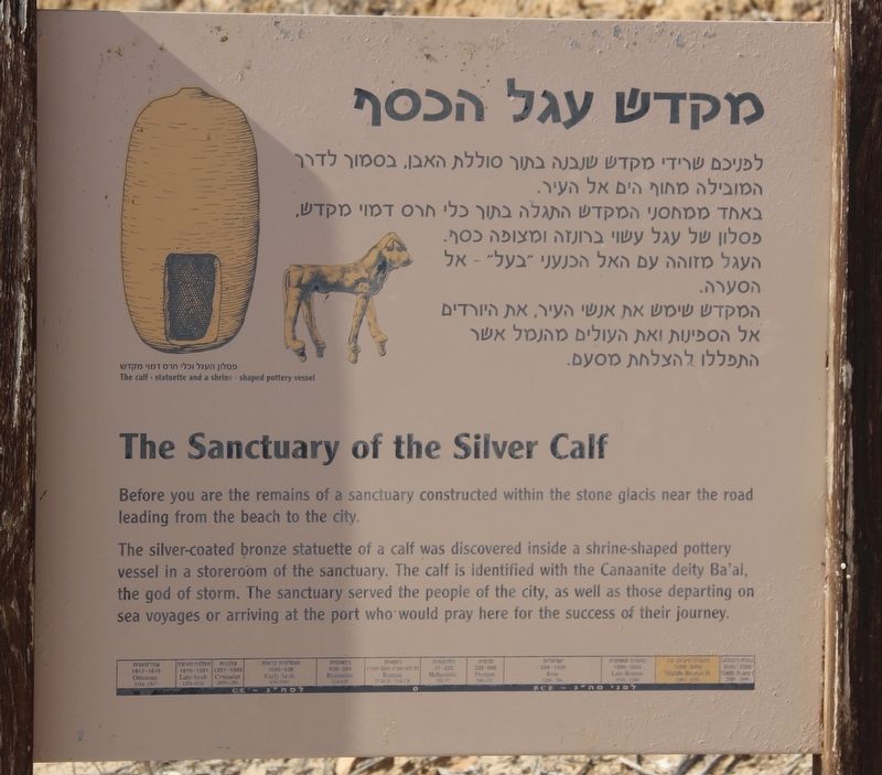
The Sanctuary of the Silver Calf
Photographed by Dale K. Benington, April 3, 2019
1. The Sanctuary of the Silver Calf Marker
The silver-coated bronze statuette of a calf was discovered inside a shrine-shaped pottery vessel in a storeroom of the sanctuary. The calf is identified with the Canaanite deity Ba’al, the god of storm. The sanctuary served the people of the city, as well as those departing on sea voyages or arriving at the port who would pray here for the success of their journey.
Topics. This historical marker is listed in these topic lists: Parks & Recreational Areas • Religion & Religious Structures • Settlements & Settlers.
Location. 31° 40.077′ N, 34° 32.937′ E. Marker is in Ashkelon, Southern District. It can be reached from T. Ben Amar Street just south of Sderot David Ben Gurion, on the right when traveling south. The marker is located in Ashkelon National Park, along a park walkway, that leads to the entrance of the Canaanite arched gateway entrance. Touch for map. Touch for directions.

Regionally, it is in Asia, specifically in West Asia,
this page online
Other nearby markers. At least 6 other markers are within 18 kilometers of this marker, measured as the crow flies: The Canaanite Fortifications of Ashqelon (a few steps from this marker); Tel Ashqelon - the Canaanite City (within shouting distance of this marker); The Canaanite City Gate (within shouting distance of this marker); History of Ashqelon (within shouting distance of this marker); Remains of the Muslim City (within shouting distance of this marker); The Day that Saved Israel (approx. 17.1 kilometers away).
More about this marker. In 2019, because I traveled to Israel as part of a tour group, taking pictures of historical markers and recording location information for each marker that I photographed was a difficult assignment. Then too, having two bad knees and walking with a cane made keeping up with my tour group, much less recording location information as well, even
Photographed by Dale K. Benington, April 3, 2019
2. The Sanctuary of the Silver Calf Marker
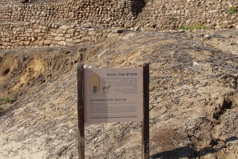
I am guessing that where the mound of earth is situated, directly behind the marker, would be the ancient location of the sanctuary of the Silver Calf. Once again, I am just guessing, but I would speculate that the archaeologists backfilled the area of the sanctuary in order to protect it.
Also see . . .
1. Tel Ashkelon - BibleWalks.com. This is a link to additional information regarding this marker. (Submitted on April 20, 2019, by Dale K. Benington of Toledo, Ohio.)
2. Ashkelon (BiblePlaces.com). This is a link to additional information regarding this marker. (Submitted on April 20, 2019, by Dale K. Benington of Toledo, Ohio.)
3. Ashkelon National Park - Wikipedia. This is a link to additional information regarding this marker. (Submitted on April 20, 2019, by Dale K. Benington of Toledo, Ohio.)
4. Ashkelon & Surroundings - Jewish Virtual Library. This is a link to additional information regarding this marker. (Submitted on April 20, 2019, by Dale K. Benington of Toledo, Ohio.)
Photographed by Dale K. Benington, April 3, 2019
3. The Sanctuary of the Silver Calf Marker
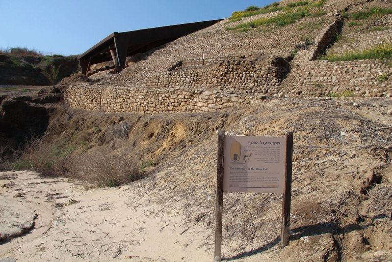
View of the marker, and the area of the sanctuary, looking towards the Canaanite arched gateway entrance to the city.
Photographed by Dale K. Benington, April 3, 2019
4. The Sanctuary of the Silver Calf Marker
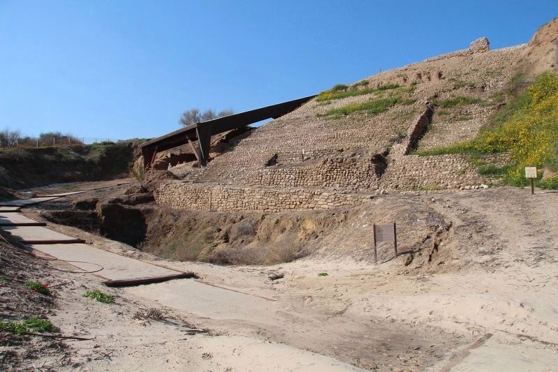
A distant view of the marker situated along the walking path that leads to the Canaanite arched gateway.
Credits. This page was last revised on April 21, 2019. It was originally submitted on April 20, 2019, by Dale K. Benington of Toledo, Ohio. This page has been viewed 575 times since then and 19 times this year. Photos: 1, 2, 3, 4. submitted on April 20, 2019, by Dale K. Benington of Toledo, Ohio.
