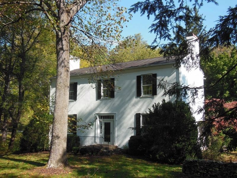
Marshall in Fauquier County, Virginia — The American South (Mid-Atlantic)
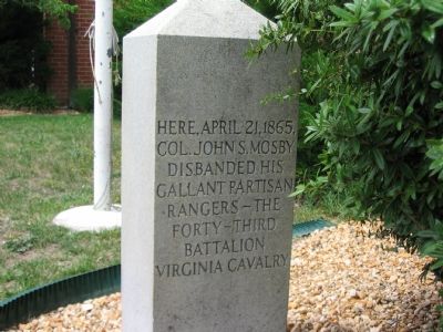
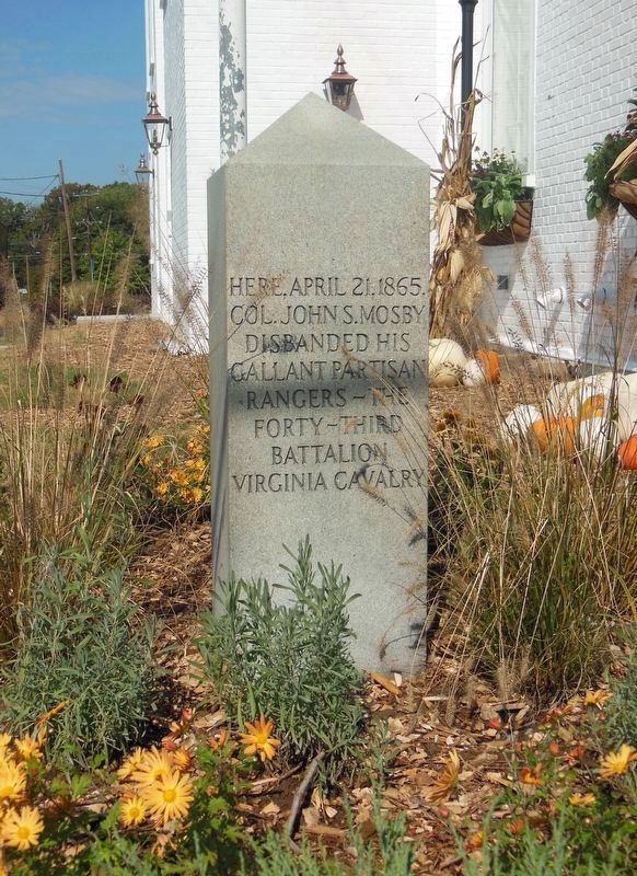
Mosby’s Rangers Disband Site
Topics. This historical marker is listed in this topic list: War, US Civil. A significant historical month for this entry is April 1836.
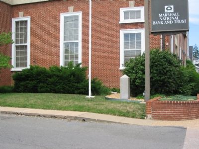
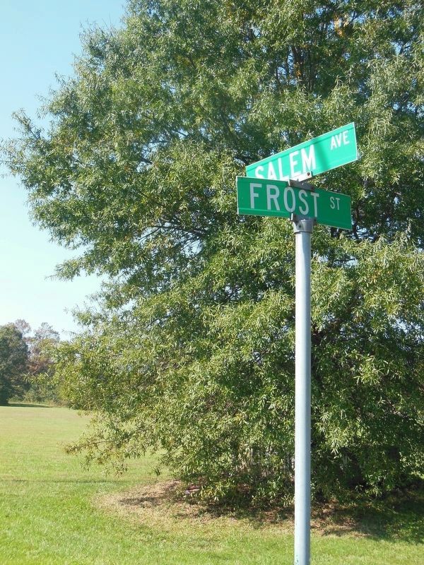
Location. 38° 51.889′ N, 77° 51.468′ W. Marker is in Marshall, Virginia, in Fauquier County. Marker is at the intersection of West Main Street / John Marshall Highway (Virginia Route 55) and Frost Street on West Main Street / John Marshall Highway. It is on the corner of the Marshall National Bank and Trust. Touch for map. Marker is at or near this postal address: 8372 West Main Street, Marshall VA 20115, United States of America. Touch for directions.
Other nearby markers. At least 8 other markers are within 3 miles of this marker, measured as the crow flies. Campaign of Second Manassas (about 800 feet away, measured in a direct line); Lee’s Narrow Escape (about 800 feet away); Salem (approx. 0.2 miles away); McClellan Relieved From Command (approx. 0.2 miles away); Mosby’s Rangers Disband (approx. 0.2 miles away); Confederate Memorial (approx. 1.1 miles away); Number 18 School (approx. 1˝ miles away); Oak Hill (approx. 3.1 miles away). Touch for a list and map of all markers in Marshall.
Credits. This page was last revised on February 11, 2021. It was originally submitted on June 25, 2007, by Craig Swain of Leesburg, Virginia. This page has been viewed 2,386 times since then and 85 times this year. Photos: 1. submitted on June 25, 2007, by Craig Swain of Leesburg, Virginia. 2. submitted on February 10, 2021, by Bradley Owen of Morgantown, West Virginia. 3. submitted on June 25, 2007, by Craig Swain of Leesburg, Virginia. 4, 5. submitted on February 10, 2021, by Bradley Owen of Morgantown, West Virginia. • J. J. Prats was the editor who published this page.
