Greenwood Heights in Brooklyn in Kings County, New York — The American Northeast (Mid-Atlantic)
Battle Hill
Revolutionary War Heritage Trail
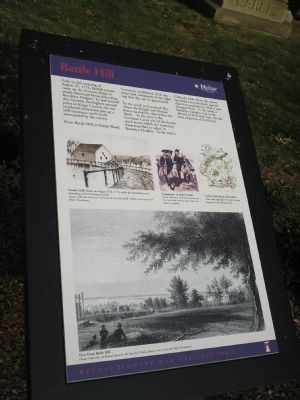
Early in the morning of August 27, 1776, British troops came up the Narrows Road to attack American forces defending Brooklyn Heights. In and around this location, the highest natural point in Kings County, the outnumbered Americans put up a stiff resistance until nearly surrounded by the enemy.
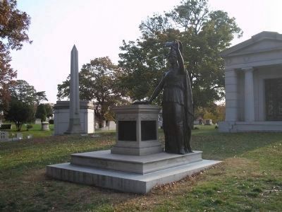
From Battle Hill in Green-Wood Cemetery, established 1838, the scope and complexity of the fighting that day can be appreciated.
To the south is Gravesend Bay, where the British and Hessian forces landed five days before the battle. To the west is the Gowanus Canal, site of the former creek across which the retreating Americans fled to safety in Brooklyn Heights. To the east is Flatbush, from where the enemy launched a second attack against American positions in what is now Prospect Park. To the north is Brooklyn Heights vital to the defense of New York City, the ultimate objective of the British.
Erected by New York State.
Topics. This historical marker is listed in these topic lists: Notable Events • Notable Places • War, US Revolutionary. A significant historical year for this entry is 1776.
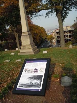
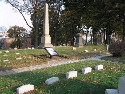
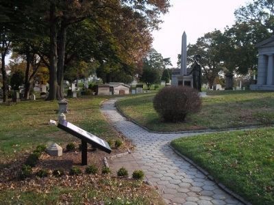
Location. 40° 39.434′ N, 73° 59.373′ W. Marker is in Brooklyn, New York, in Kings County. It is in Greenwood Heights. Marker can be reached from Battle Avenue, on the left when traveling north. Marker is in Green-Wood Cemetery on Battle Path off Battle Avenue. Touch for map. Marker is in this post office area: Brooklyn NY 11232, United States of America. Touch for directions.
Other nearby markers. At least 8 other markers are within walking distance of this marker. Huntington’s Regiment (here, next to this marker); Triumph on Battle Hill (here, next to this marker); Altar to Liberty (a few steps from this marker); Civil War Soldiers’ Monument (a few steps from this marker); The Battle of Brooklyn (within shouting distance of this marker); a different marker also named The Battle of Brooklyn (within shouting distance of this marker); McDonald (within shouting distance of this marker); Van Ness-Parsons Family Tomb (about 500 feet away, measured in a direct line). Touch for a list and map of all markers in Brooklyn.
More about this marker. The bottom of the marker contains a sketch showing a “View From Battle Hill.” Above this are pictures of “Freeke’s Mill: Burnt on August 27th, 1776 while the Americans were retreating across Gowanus Creek,” and the “Commander in Chief & Staff.” All of these are from the Picture Collection, the Branch Libraries, the New York Public Library, Astor, Lenox and Tilden Foundations. Also on the marker is a map of “A Plan of the Battle of Brooklyn. This map highlights the approximate location of this historic site.”
Also see . . .
1. Battle Hill (Brooklyn). Wikipedia entry. (Submitted on September 26, 2020, by Larry Gertner of New York, New York.)
2. Battle of Long Island, August 27, 1776. (Submitted on November 2, 2008, by Bill Coughlin of Woodland Park, New Jersey.)
3. The Battle of Long Island 1776. A British perspective of the battle from BritishBattles.com. (Submitted on November 2, 2008, by Bill Coughlin of Woodland Park, New Jersey.)
Credits. This page was last revised on January 31, 2023. It was originally submitted on November 2, 2008, by Bill Coughlin of Woodland Park, New Jersey. This page has been viewed 2,534 times since then and 158 times this year. Photos: 1, 2, 3, 4, 5. submitted on November 2, 2008, by Bill Coughlin of Woodland Park, New Jersey.
