Rock Spring in Walker County, Georgia — The American South (South Atlantic)
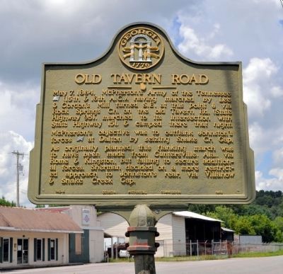
Old Tavern Road
May 7, 1864. McPherson's Army of the Tennessee (US)(15th & 16th A.C.), having marched by Lee & Gordon's Mill turned S.E. at this point & via Rock Springs Ch. on the old Tavern Road (State Highway 95), marched to its intersection with State Highway 151 & camped there that night. McPherson's objective was to outflank Johnston's forces (CS) at Dalton by seizing Snake Cr. Gap. As originally planned, this flanking march was to have been from Guntersville, Ala. via Rome and Kingston, but failing to secure additional forces, Sherman decided on a more restricted approach to Johnston's rear, via Villanow and & Snake Creek Gap.
Erected 1953 by Georgia Historical Commission. (Marker Number 146-4.)
Topics and series. This historical marker is listed in these topic lists: Churches & Religion • Roads & Vehicles • War, US Civil. In addition, it is included in the Georgia Historical Society series list. A significant historical month for this entry is May 1823.
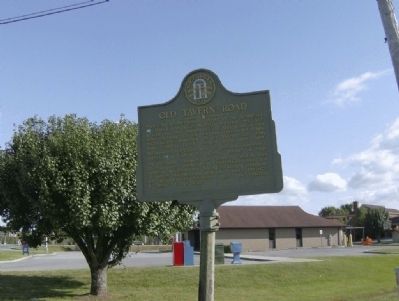
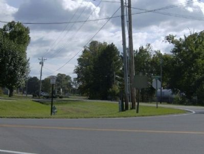
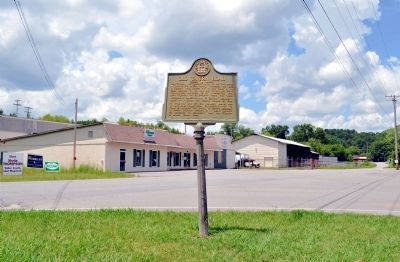
Location. 34° 49.244′ N, 85° 14.51′ W. Marker is in Rock Spring, Georgia, in Walker County. Marker is at the intersection of Old Hwy 27 and Rock Spring Drive (State Highway 95), on the right when traveling north on Old Hwy 27. Touch for map. Marker is at or near this postal address: 916 Old Hwy 27, Rock Spring GA 30739, United States of America. Touch for directions.
Other nearby markers. At least 8 other markers are within 4 miles of this marker, measured as the crow flies. Rock Springs Church (approx. 0.4 miles away); Anderson Campsite (approx. half a mile away); Worthen's Gap (approx. 1.1 miles away); Peavine Church (approx. 2.1 miles away); Glass's Mill Battle Site (approx. 2.9 miles away); a different marker also named Glass's Mill Battle Site (approx. 2.9 miles away); Henderson Plantation (approx. 3 miles away); Clarissa Hunt Plantation (approx. 3.6 miles away). Touch for a list and map of all markers in Rock Spring.
Also see . . . Rock Spring, Georgia. (Submitted on November 2, 2008, by David Tibbs of Resaca, Georgia.)
Credits. This page was last revised on November 19, 2020. It was originally submitted on November 2, 2008, by David Tibbs of Resaca, Georgia. This page has been viewed 1,122 times since then and 27 times this year. Photos: 1. submitted on July 30, 2012, by David Seibert of Sandy Springs, Georgia. 2, 3. submitted on November 2, 2008, by David Tibbs of Resaca, Georgia. 4. submitted on July 30, 2012, by David Seibert of Sandy Springs, Georgia. • Craig Swain was the editor who published this page.


