
The Fan District in Richmond, Virginia — The American South (Mid-Atlantic)
Richmond Professional Institute
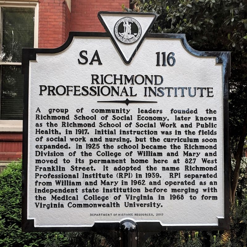
Photographed by Bernard Fisher, April 21, 2019
1. Richmond Professional Institute Marker
Erected 2017 by Department of Historic Resources. (Marker Number SA-116.)
Topics and series. This historical marker is listed in this topic list: Education. In addition, it is included in the Virginia Department of Historic Resources (DHR) series list. A significant historical year for this entry is 1917.
Location. 37° 32.941′ N, 77° 27.136′ W. Marker is in Richmond, Virginia. It is in The Fan District. It is at the intersection of West Franklin Street and Shafer Street,
this page online

Regionally, this marker is in Central Virginia. It is also in the American South and specifically in the Upper South. Globally, it is in North America, the Western Hemisphere, the Western World, and the Anglosphere. Historically, it finds itself in what was once the territory of the Mississippian Culture, one of the original Thirteen Colonies, one of the Confederate States of America, and the Antebellum South.
Other nearby markers. At least 8 other markers are within walking distance of this marker: Founders Hall (here, next to this marker); The Equal Suffrage League of Virginia (about 500 feet away, measured in a direct line); Cathedral of the Sacred Heart (about 600 feet away); Monroe Park (about 700 feet away); Etam Cru, Poland (approx. 0.2 miles away); a different marker also named Monroe Park (approx. 0.2 miles away); John B. Fenn (approx. ¼ mile away); Jacob House
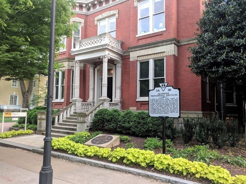
Photographed by Bernard Fisher, April 21, 2019
2. Founders Hall
Another marker is no longer nearby. Richmond Howitzers Monument (was approx. 0.2 miles away but has been permanently removed).
Also see . . . Richmond Professional Institute. Wikipedia (Submitted on April 22, 2019.)
Credits. This page was last revised on March 5, 2024. It was originally submitted on April 22, 2019, by Bernard Fisher of Richmond, Virginia. This page has been viewed 686 times since then and 47 times this year. Photos: 1, 2. submitted on April 22, 2019, by Bernard Fisher of Richmond, Virginia.
