La Fortuna, Alajuela, Costa Rica — Central America
Amelia Alfara Rojas
Photographed by Michael C. Wilcox, April 18, 2019
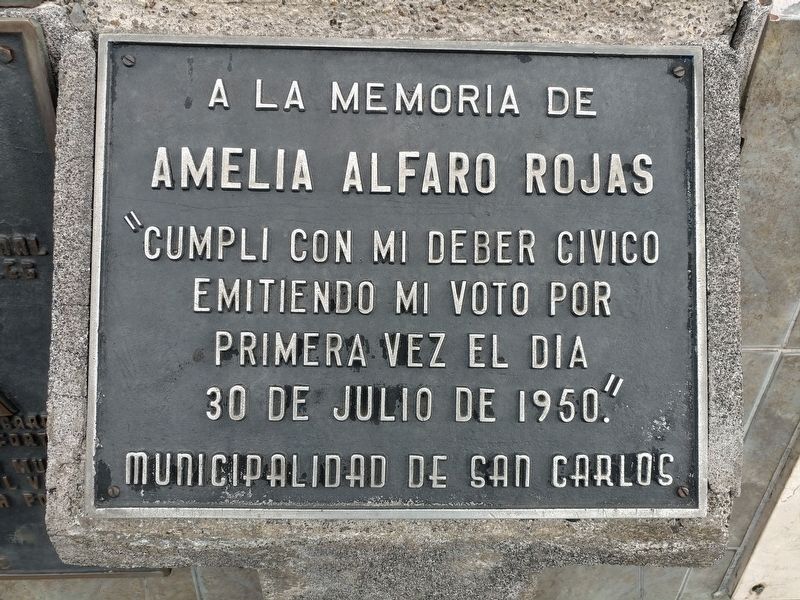
1. Amelia Alfara Rojas - Center Marker

Amelia Alfara Rojas
"Cumpli con mi deber civico emitiendo mi voto por primera vez el dia 30 de julio de 1950."
Municipalidad de San Carlos
Amelia Alfara Rojas
"I complete my civic duty by casting my vote for the first time on July 30, 1950."
Municipality of San Carlos
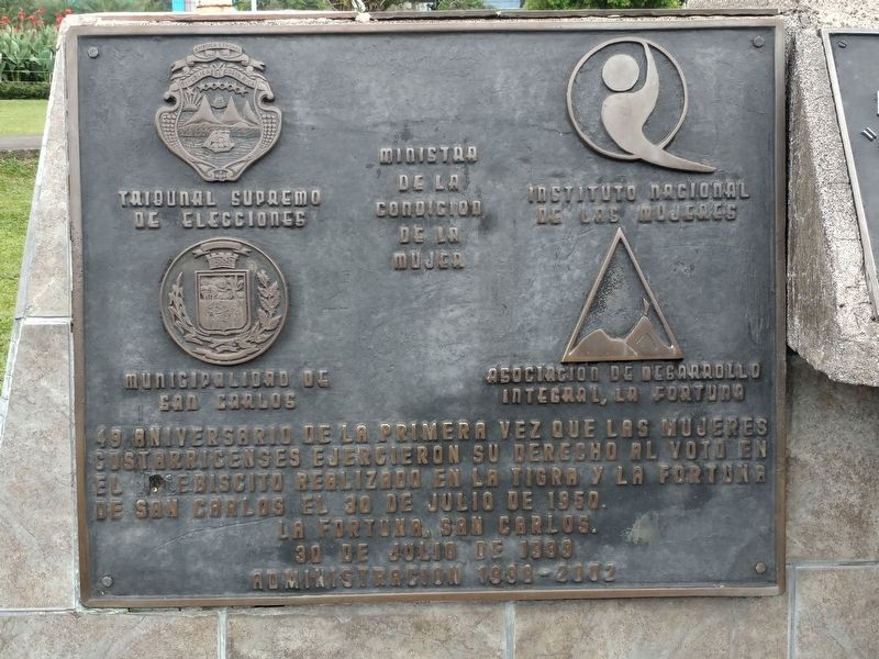
La Fortuna, San Carlos.
30 de Julio de 1999
Administracion 1999-2002
La Fortuna, San Carlos
July 30, 1999
Administration of 1999-2002
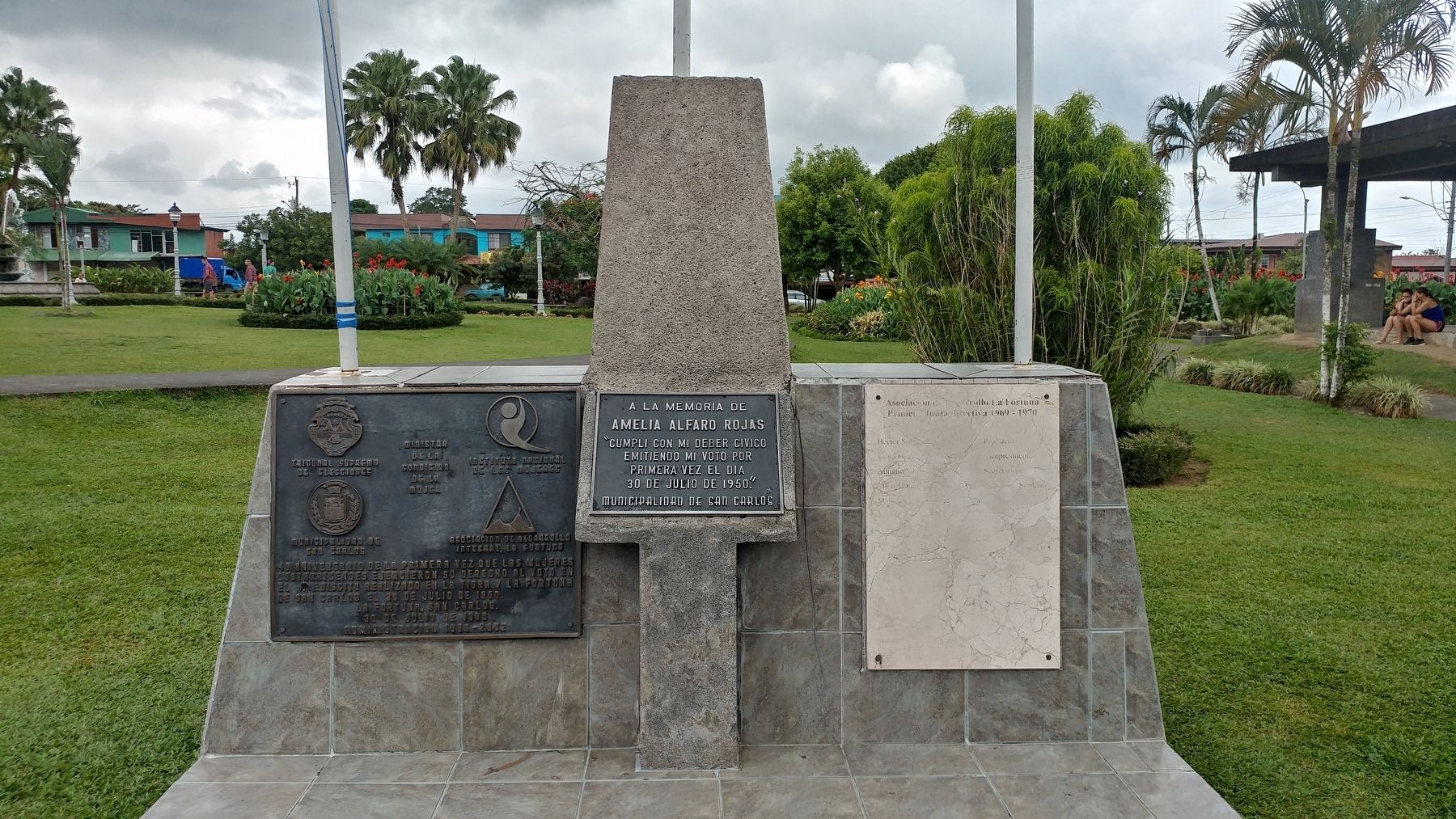
Right Marker: (illegible)
Erected 1999.
Topics. This historical marker is listed in these topic lists: Government & Politics • Women. A significant historical date for this entry is July 30, 1950.
Location. 10° 28.282′ N, 84° 38.693′ W. Marker
this page online

Regionally, it is in North America, specifically in Central America, on the Ring of Fire, on the Pacific Rim, and in the Western Hemisphere. Historically, it finds itself in what was once New Spain and also a Spanish colony.
Other nearby markers. At least one other marker is within 31 kilometers of this marker, measured as the crow flies: Founding of the Community of San Rafael (approx. 29.6 kilometers away).
Photographed by Michael C. Wilcox, April 18, 2019
2. Amelia Alfara Rojas - Left Marker
Photographed by Michael C. Wilcox, April 18, 2019
3. Amelia Alfara Rojas Marker
Photographed by Michael C. Wilcox, April 18, 2019
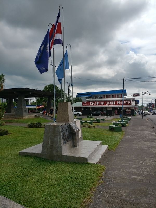
4. Amelia Alfara Rojas Marker
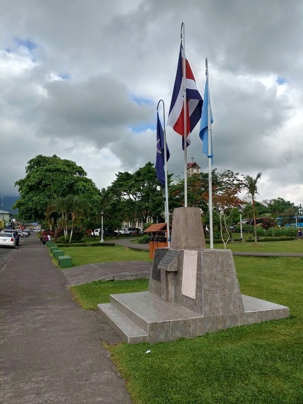
Photographed by Michael C. Wilcox, April 18, 2019
5. Amelia Alfara Rojas Marker
Credits. This page was last revised on May 23, 2021. It was originally submitted on April 22, 2019, by Michael C. Wilcox of Winston-Salem, North Carolina. This page has been viewed 405 times since then and 22 times this year. Photos: 1, 2, 3, 4, 5. submitted on April 22, 2019, by Michael C. Wilcox of Winston-Salem, North Carolina.
