Pomaria in Newberry County, South Carolina — The American South (South Atlantic)
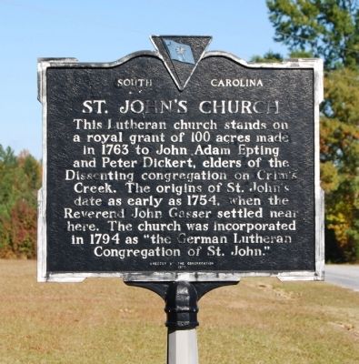
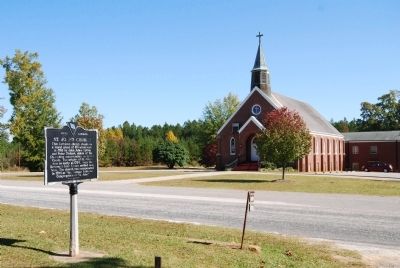
St. John's Church
Erected 1970 by St. John's Church Congregation. (Marker Number 36-7.)
Topics. This historical marker is listed in these topic lists: Churches & Religion • Colonial Era • Settlements & Settlers. A significant historical year for this entry is 1763.
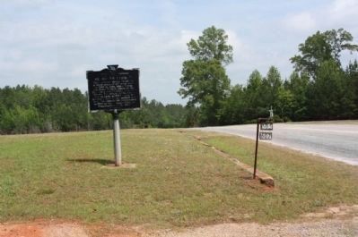
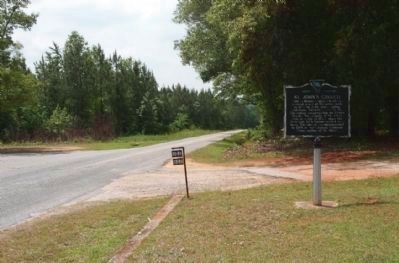
Location. 34° 15.133′ N, 81° 22.233′ W. Marker is in Pomaria, South Carolina, in Newberry County. Marker is on Hope Station Road, on the left when traveling north. Touch for map. Marker is at or near this postal address: 622 Hope Station Road, Pomaria SC 29126, United States of America. Touch for directions.
Other nearby markers. At least 10 other markers are within 8 miles of this marker, measured as the crow flies. Hope Rosenwald School (approx. 1.3 miles away); Pomaria (approx. 2.6 miles away); Peak (approx. 2.9 miles away); Folk-Holloway House (approx. 3 miles away); Lutheran Theological Southern Seminary (approx. 3˝ miles away); Nuclear Power (approx. 3.9 miles away); Bethlehem Lutheran Church (approx. 4.2 miles away); Rev. Joachim Bulow. (approx. 4.8 miles away); St. Paul Lutheran Church (approx. 4.9 miles away); Industry Evolution on the Broad River (approx. 7.1 miles away). Touch for a list and map of all markers in Pomaria.
Also see . . . St. John's Lutheran Church. St. John’s is unusual architecturally, reflecting a more sophisticated design than is usually found in rural 19th century churches in South Carolina. (Submitted on November 2, 2008, by Brian Scott of Anderson, South Carolina.)
Additional commentary.
1. Marker Style
The marker shown reflects the second style of South Carolina Historical Markers. It was in use between 1955 and 1990. The original design was cast aluminum and crowned with a bas relief of the state flag surrounded by an inverted triangle. The markers were painted dark blue with silver lettering.
— Submitted November 2, 2008, by Brian Scott of Anderson, South Carolina.
2. About St. John's Evangelical Lutheran Church
The origins of St. John's date to 1754 when the
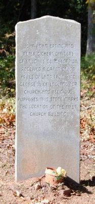
Rev. John Gasser settled here, and built the first log church building. St. John's Lutheran Church stands on a royal grant of 100 acres of land given in 1763 to John Adam Epting and Peter Dickert elders, on Crim's Creek by King George III of England.
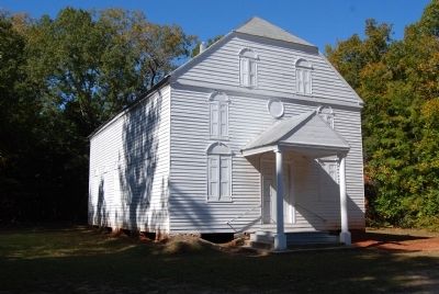
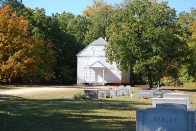
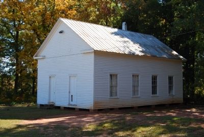
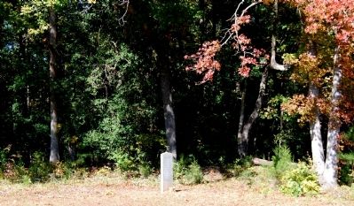
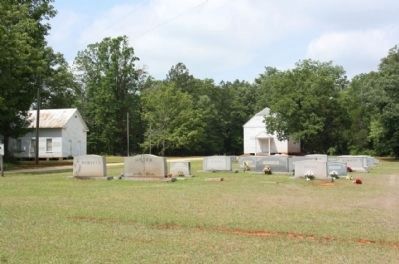
A second log church building was built in 1763. Both buildings were destroyed by fire. A granite marker, in the far corner of the cemetery, designates the location of the first building. The third church was built in 1809, and is affectionately known as "The White Church." It is opened for special occasion during the year, and is believed to be one of the oldest wood frame churches in South Carolina.
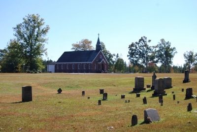
The beautiful fourth brick church building is in a modified Gothic style, with the corner stone being laid in 1950. The nineteen lovely art stained glass windows and ecclesiastical furniture and appointments memorialize faithful members of days gone by. The pulpit is dedicated to the pastor with the longest term of service, Rev. Daniel Efird (1850-1882), and the iron railings to the front steps were made by William Carl Summer, the great grandson of Capt. John A. Summer who made the hardware for the third church building in 1809.
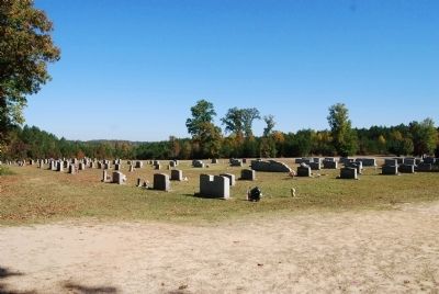
A well kept cemetery is maintained by the St. John's Cemetery Association, with graves dating to the early 1700s.
St. John's members continue to strive for the best for this
congregation. In the year 2003 the congregation, under the direction of the Historical Ministry, purchased a fire resistant safe to house the precious artifacts. These items are put on display, usually during Home Coming, at least once a year in the Archive Room. In 2004 the church celebrated its 250th anniversary with year long events, and as part of that celebration a beautiful Prayer Garden was added for anyone that would like to take a few moments to reflect and pray.
If you have a group that would like to tour "The White Church", please call the church office at 803-276-5543 and leave a message. Someone will contact you to set up a date and time.
(Source: Brochure available at the marker.)
— Submitted November 2, 2008, by Brian Scott of Anderson, South Carolina.
Photographed By Brian Scott, November 1, 2008
11. Site of the First St. John's Church - A Log Structure
Credits. This page was last revised on December 14, 2019. It was originally submitted on November 2, 2008, by Brian Scott of Anderson, South Carolina. This page has been viewed 2,617 times since then and 42 times this year. Photos: 1, 2. submitted on November 2, 2008, by Brian Scott of Anderson, South Carolina. 3, 4. submitted on July 26, 2011, by Mike Stroud of Bluffton, South Carolina. 5, 6, 7, 8, 9, 10, 11, 12. submitted on November 2, 2008, by Brian Scott of Anderson, South Carolina. 13. submitted on July 26, 2011, by Mike Stroud of Bluffton, South Carolina.
