Near Lachish in Lakhish Regional Council, Southern District, Israel — West Asia (the Levant in the Middle East)
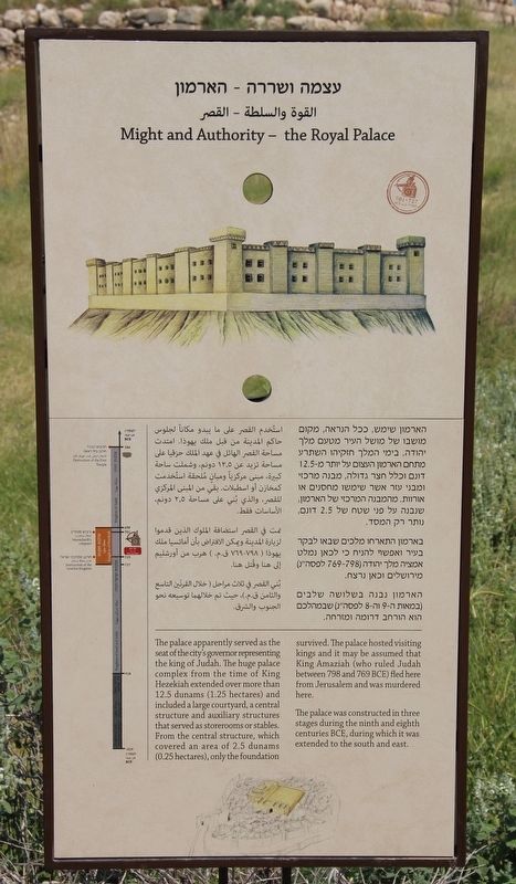
Might and Authority - the Royal Palace
Photographed by Dale K. Benington, April 3, 2019
1. Might and Authority - the Royal Palace Marker
The palace was constructed in three stages during the ninth and eighth centuries BCE, during which it was extended to the south and east.
Topics. This historical marker is listed in these topic lists: Forts and Castles • Parks & Recreational Areas • Settlements & Settlers. A significant historical year for this entry is 900 BCE.
Location. 31° 33.866′ N, 34° 50.89′ E. Marker is near Lachish, Southern District, in Lakhish Regional Council. It can be reached from Southern District Route 3415 2.3 kilometers south of Route 35, on the right when traveling south. Unfortunately, Google maps does not provide any names for two of the key roads that one will need to use to get to this marker. So from the intersection of Route 35 and Route 3415, go south on Route 3415 for 2.3 kilometers and turn right on an un-named road. Proceed south on the un-named road for 750 meters and the first road that you come to on your left, turn left onto another un-named road. Travel 400 meters over this second un-named road and you will arrive at the parking lot for the Israeli National Park that features the ruins of ancient Lachish, where this marker is located, on the top of the "tel" a short walk from the city gate complex. Touch for map. Touch for directions.

Regionally,
this page online
Other nearby markers. At least 7 other markers are within 18 kilometers of this marker, measured as the crow flies: Testimony to Approaching Disaster - the Lachish Letters (within shouting distance of this marker); Welcome to the City Gate (within shouting distance of this marker); Confronting Enemy Threats - the City’s Fortifications (within shouting distance of this marker); Artist's Rendering of the City Gate (about 120 meters away, measured in a direct line); Tel Lachish National Park (about 120 meters away); Assault by Sennacherib's Army (about 120 meters away); Tel Azekah (approx. 17.2 kilometers away in Jerusalem District).
More about this marker. Regarding the marker itself, there is a vertical timeline on the left side of the marker that runs from 1029 BCE to 586 BCE. The timeline identifies the years 1029 to 928 BCE as being
Photographed by Dale K. Benington, April 3, 2019
2. Might and Authority - the Royal Palace Marker
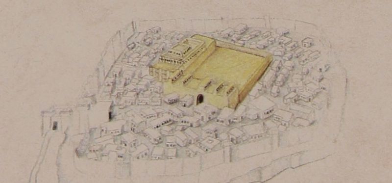
A close up view, of the illustration that appears on this marker, showing an artist's rendering of how the city's palace (highlighted in yellow) would have most probably looked during the reign of King Hezekiah.
Regarding the marker location, in 2019, because I traveled to Israel as part of a tour group, taking pictures of historical markers and recording location information for each marker that I photographed was a difficult assignment. Then too, having two bad knees and walking with a cane made keeping up with my tour group, much less recording location information as well, even more difficult. So I am using my Google Map skills, from at home, to provide the needed location information and map coordinates. Anyone that visits these markers is welcomed, and encouraged, to improve on the provided information.
Photographed by Dale K. Benington, April 3, 2019
3. Might and Authority - the Royal Palace Marker
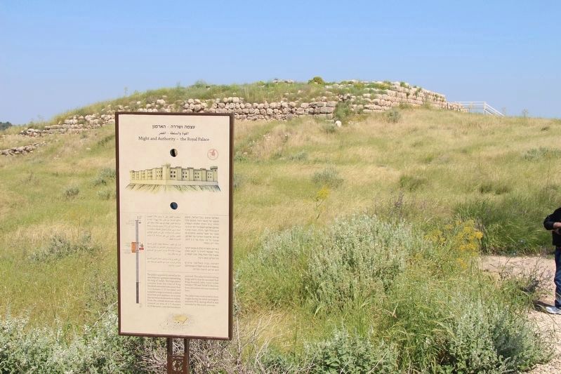
View of the marker in the foreground with a distant view of the ruins of the place in the background.
Photographed by Dale K. Benington, April 3, 2019
4. Might and Authority - the Royal Palace Marker
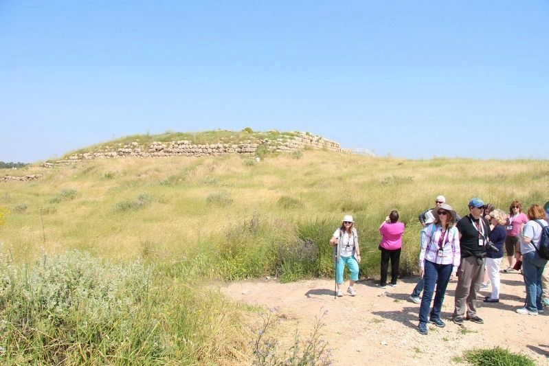
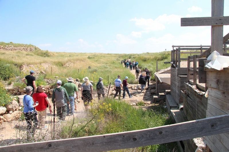
Another distant view of the ruins of the place in the background, with a tour group off to the right side in the foreground..
Photographed by Dale K. Benington, April 3, 2019
5. Might and Authority - the Royal Palace Marker
View of the ancient ruins of the palace, seen off to the far left, as viewed from the city gate complex.
Credits. This page was last revised on August 29, 2021. It was originally submitted on April 24, 2019, by Dale K. Benington of Toledo, Ohio. This page has been viewed 328 times since then and 17 times this year. Photos: 1, 2, 3, 4, 5. submitted on April 24, 2019, by Dale K. Benington of Toledo, Ohio.
