Near Rimrock in Yavapai County, Arizona — The American Mountains (Southwest)
Chaves Historic Trail
Photographed by Brian Anderson, March 22, 2019
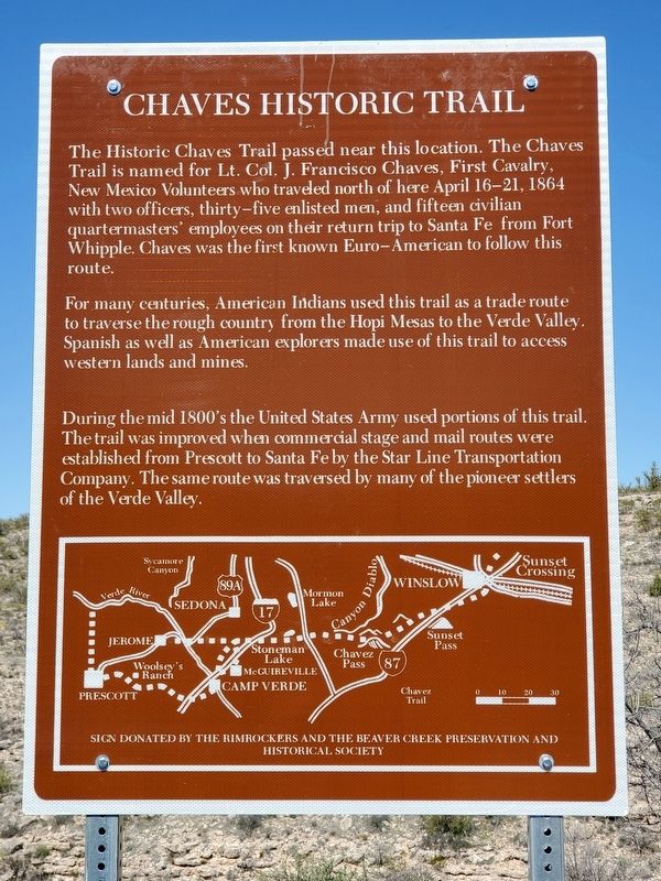
1. Chaves Historic Trail Marker
For many centuries, American Indians used this trail as a trade route to traverse the rough country from the Hopi Mesas to the Verde Valley. Spanish as well as American explorers made use of this trail to access western lands and mines.
During the mid 1800's the United States Army used portions of this trail. The trail was improved when commercial stage and mail routes were established from Prescott to Santa Fe by the Star Line Transportation Company. The same route was traversed by many of the pioneer settlers of the Verde Valley.
Erected by The Rimrockers and The Beaver Creek Preservation and Historical Society.
Topics. This historical marker is listed in these topic lists: Exploration • Roads & Vehicles. A significant historical date for this entry is April 16, 1864.
Location. 34° 38.349′ N,
this page online

Regionally, this marker is in Verde Valley and in the Yavapai-Apache Nation. It is also in the American Southwest and in the Mountain West. Globally, it is in North America, the Western Hemisphere, the Western World, and the Anglosphere. Historically, it finds itself in what was once New Spain and also Mexico’s Alta California.
Other nearby markers. At least 8 other markers are within 3 miles of this marker, measured as the crow flies: Timeless Beauty (approx. 2.9 miles away); Creekside Community (approx. 2.9 miles away); Creating a Home (approx. 2.9 miles away); Cycles of Care (approx. 2.9 miles away); Kinship Ties (approx. 2.9 miles away); A Piece of Modern Monument History (approx. 2.9 miles away); Aloft but not Alone (approx. 2.9 miles away); On the Move (approx.
Photographed by Brian Anderson, March 22, 2019
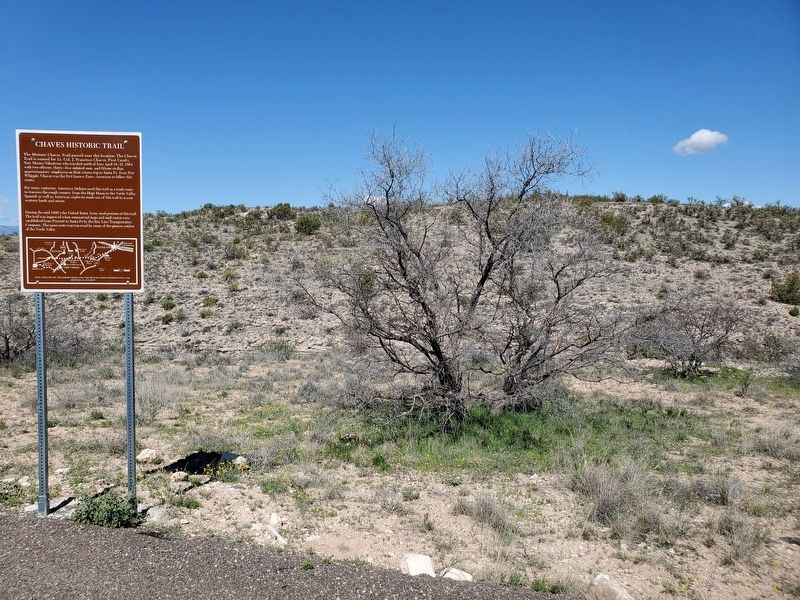
2. Chaves Historic Trail Marker
Other markers no longer nearby. Macaw Pen Stone? (was approx. 2.8 miles away but has been confirmed missing); Welcome to The Castle (was approx. 2.9 miles away but has been permanently removed); The Community (was approx. 2.9 miles away but has been permanently removed); The Way Up / Construction Sequence (was approx. 2.9 miles away but has been permanently removed).
Credits. This page was last revised on April 24, 2019. It was originally submitted on April 24, 2019, by Brian Anderson of New Albany, Ohio. This page has been viewed 1,292 times since then and 170 times this year. Photos: 1, 2. submitted on April 24, 2019, by Brian Anderson of New Albany, Ohio.
