San Luis Potosí, Mexico — The Northeast (and Central Highlands)
Colón Garden
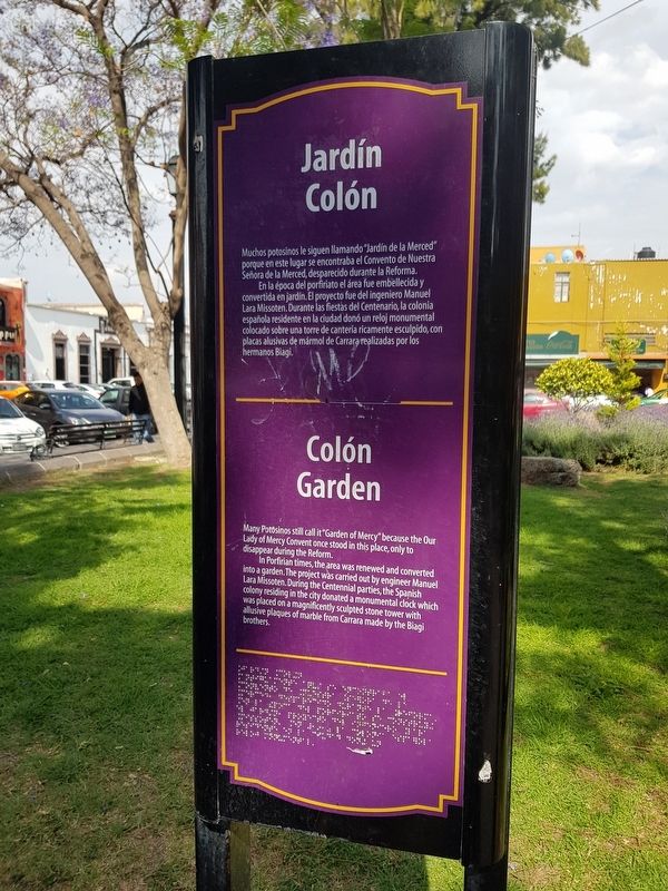
Muchos potosinos le siguen llamando “Jardín de la Merced” porque en este lugar se encontraba el Convento de Nuestra Señora de la Merced, desparecido durante la Reforma.
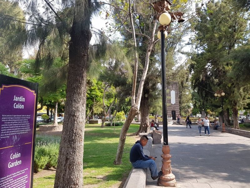
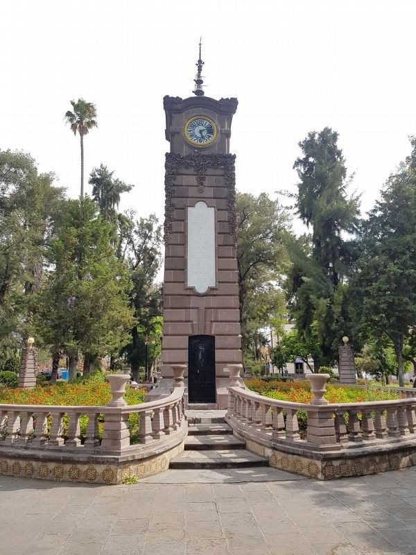
En la época del porfiriato el área fue embellecida y convertida en jardín. El proyecto fue del ingeniero Manuel Lara Missoten. Durante las fiestas del Centenario, la colonia española residente en la ciudad donó un reloj monumental colocado sobre una torre de cantería ricamente esculpido, con placas alusivas de mármol de Carrara realizadas por los hermanos Biagi.
Colón Garden
Many Potosinos still call it “Garden of Mercy” because the Our Lady of Mercy Convent once stood in this place, only to disappear during the Reform.
In Porfirian times, the area was renewed and converted into a garden. The project was carried out by engineer Manuel Lara Missoten. During the Centennial parties, the Spanish colony residing in the city donated a monumental clock which was placed on a magnificently sculpted stone tower with allusive plaques of marble from Carrara made by the Biagi brothers.
Topics. This historical marker is listed in these topic lists: Churches & Religion • Man-Made Features • Parks & Recreational Areas.
Location. 22° 8.811′ N, 100° 58.484′ W. Marker is in San Luis Potosí. Marker is on Jardín Colón just south of Pascual M. Hernández, on the left when traveling south. Touch for map. Marker is in this post office area: San Luis Potosí 78000, Mexico. Touch for directions.
Other nearby markers. At least 8 other markers are within walking distance of this marker. La Cubana (within shouting distance of this marker); The 100th Anniversary of Mexican Independence (within shouting distance of this marker); Guadalupe Road (about 90 meters away, measured in a direct line); Water Reservoir (about 150 meters away); José Nereo Ambrosio Rodríguez Barragán (about 180 meters away); Ramón López Velarde (about 210 meters away); José Mariano Jiménez (about 210 meters away); Alarcón Theater (about 210 meters away). Touch for a list and map of all markers in San Luis Potosí.
Credits. This page was last revised on April 25, 2019. It was originally submitted on April 25, 2019, by J. Makali Bruton of Accra, Ghana. This page has been viewed 118 times since then and 7 times this year. Photos: 1, 2, 3. submitted on April 25, 2019, by J. Makali Bruton of Accra, Ghana.


