Downtown in Indianapolis in Marion County, Indiana — The American Midwest (Great Lakes)
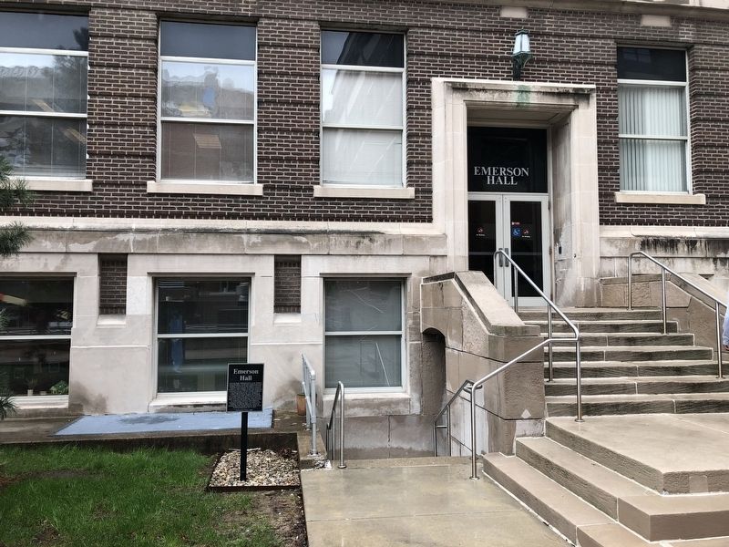
Emerson Hall
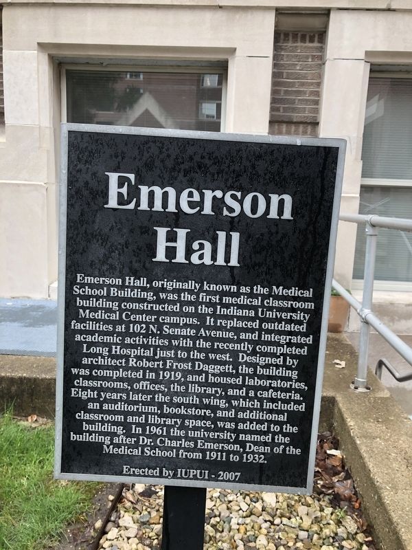
Erected 2007 by Indiana University–Purdue University Indianapolis.
Topics. This historical marker is listed in these topic lists: Education • Science & Medicine. A significant historical year for this entry is 1919.
Location. 39° 46.563′ N, 86° 10.676′ W. Marker is in Indianapolis, Indiana, in Marion County. It is in Downtown. It is on Hadley Drive south of West Walnut Street. Touch for map.
this page online

Regionally, this marker is in Central Indiana. It is also in the American Midwest and in the Corn Belt. Globally, it is in North America, the Western Hemisphere, the Western World, and the Anglosphere. Historically, it finds itself in what was once the territory of the Mississippian Culture and also the Northwest Territory.
Other nearby markers. At least 8 other markers are within walking distance of this marker: The Plague Cemetery (within shouting distance of this marker); Wilson House Site (within shouting distance of this marker); This Tablet Marks the Homestead of Isaac Wilson, Pioneer and Patriot. (about 300 feet away, measured in a direct line); Robert W. Long Hospital (about 500 feet away); Riley Hospital for Children (about 600 feet away); Dr. Amelia Keller (about 600 feet away); The College Inn Site (about 700 feet away); Indiana's Mazzini (about 700 feet away). Touch for a list and map of all markers in Indianapolis.
Credits. This page was last revised on February 4, 2023. It was originally submitted on April 26, 2019, by Devry Becker Jones of Washington, District of Columbia. This page has been viewed 551 times since then and 50 times this year. Photos: 1, 2. submitted on April 26, 2019, by Devry Becker Jones of Washington, District of Columbia.
