Downtown in Indianapolis in Marion County, Indiana — The American Midwest (Great Lakes)
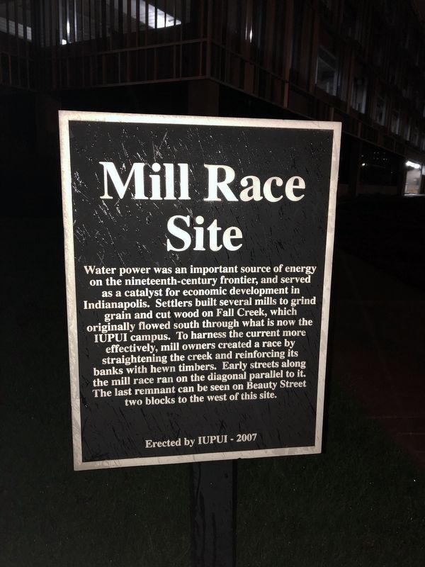
Mill Race Site
Erected 2007 by Indiana University–Purdue University Indianapolis.
Topics. This historical marker is listed in these topic lists: Industry & Commerce • Waterways & Vessels.
Location. 39° 46.41′ N, 86° 10.715′ W. Marker is in Indianapolis, Indiana, in Marion County. It is in Downtown. Marker is at the intersection of Barnhill Drive (Route Barnhil) and West Vermont Street, on the right when traveling north on Barnhill Drive. Touch for map. Marker is at or near this postal address: 1113 West Vermont Street, Indianapolis IN 46202, United States of America. Touch for directions.
Other nearby markers. At least 8 other markers are within walking distance of this marker. Indiana's Mazzini (about 400 feet away, measured in a direct line); The College Inn Site (about 400 feet away); Development of Fluoride Toothpaste (about 400 feet away); Robert W. Long Hospital (about 600 feet away); Coleman Hall (approx. 0.2 miles away); The Plague Cemetery (approx. 0.2 miles away); Emerson Hall (approx. 0.2 miles away); Wilson House Site (approx. 0.2 miles away). Touch for a list and map of all markers in Indianapolis.
Credits. This page was last revised on February 4, 2023. It was originally submitted on April 26, 2019, by Devry Becker Jones of Washington, District of Columbia. This page has been viewed 202 times since then and 30 times this year. Photo 1. submitted on April 26, 2019, by Devry Becker Jones of Washington, District of Columbia.
Editor’s want-list for this marker. Clear, daylight photo of the marker as well as one of its context. • Can you help?
