Dutzow in Warren County, Missouri — The American Midwest (Upper Plains)
Dutzow to Marthasville
Points of Interest
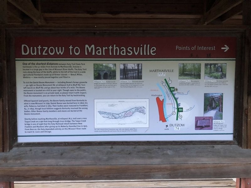
One of the shortest distances between Katy Trail State Park trailheads is the 3.7 miles from Dutzow to Marthasville. Dutzow is located in a large gap in the line of Missouri River bluffs. The Katy Trail runs along the base of the bluffs, while to the left of the trail is a wide agricultural floodplain made up of former islands—Boeuf, Miller, Watkins—now mostly pieced together and filled in.
To visit the Daniel Boone Monument—including Boone's former gravesite—go right on Boone Monument Rd. at milepost 75.8 to Bluff Rd. Turn left (west) on Bluff Rd. and go about four-tenths of a mile. The Boone monument is located on a hill to your right. Though open to the public, the Boone monument is on private land, so please treat it with respect. From the monument, you can return to the Katy Trail by backtracking.
Offered Spanish land grants, the Boone family moved from Kentucky to what is now Missouri in 1799. Daniel Boone was buried here in 1820; his wife, Rebecca, had died in 1813. Their bodies were removed to Frankfurt, Ky., in 1845, though local folklore suggests Kentucky received the wrong bodies. Other Boone family members
this page online
Shortly before reaching Marthasville, at milepost 76.2, trail users cross Tuque Creek on a 190-foot-long through-truss bridge. The Tuque Creek bridge is one of eight that the Katy Railroad rebuilt between New Franklin and Machens after giving up its Moberly-Hannibal line in 1923. From then on, the Katy depended entirely on this Missouri River route to reach St. Louis and Chicago.
Topics and series. This historical marker is listed in these topic lists: Bridges & Viaducts • Cemeteries & Burial Sites • Railroads & Streetcars • Settlements & Settlers. In addition, it is included in the Katy Trail State Park series list. A significant historical year for this entry is 1799.
Location. 38° 36.169′ N, 90° 59.953′ W. Marker is in Dutzow, Missouri, in Warren County. It is on Katy Trail north of Missouri Highway 94, on the right when traveling north. Touch for map. Marker is in this post office area: Dutzow MO 63342, United States of America. Touch for directions.

Regionally, this marker is in the Missouri River Corridor and in Greater St. Louis. It is also in the American Midwest,
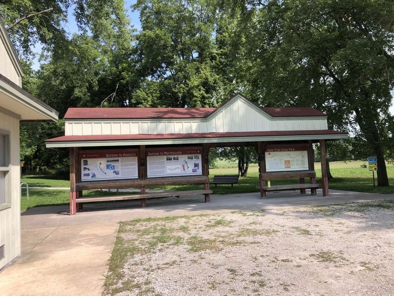
Photographed by Duane and Tracy Marsteller, July 20, 2024
2. Dutzow to Marthasville Marker
Featured marker is in the middle.
Other nearby markers. At least 8 other markers are within 3 miles of this marker, measured as the crow flies: Story and Legend of Daniel Boone (here, next to this marker); Dutzow to Augusta (here, next to this marker); (Original) Dutzow / St Vincent de Paul Catholic Church (approx. 1.1 miles away); Daniel and Rebecca Bryan Boone (approx. 2.3 miles away); Tibbe Power Company (approx. 2.9 miles away); Schwegmann House (approx. 2.9 miles away); John Schwegmann House (approx. 2.9 miles away); Bernard Wiese House (approx. 2.9 miles away). Touch for a list and map of all markers in Dutzow.
Credits. This page was last revised on August 19, 2024. It was originally submitted on April 27, 2019, by Devry Becker Jones of Washington, District of Columbia. This page has been viewed 412 times since then and 37 times this year. Photos: 1. submitted on April 27, 2019, by Devry Becker Jones of Washington, District of Columbia. 2. submitted on August 13, 2024, by Duane and Tracy Marsteller of Murfreesboro, Tennessee.
