
Worthington in Nobles County, Minnesota — The American Midwest (Upper Plains)
Benona Pierce and Clair Hovey St. John Memorial Wetlands
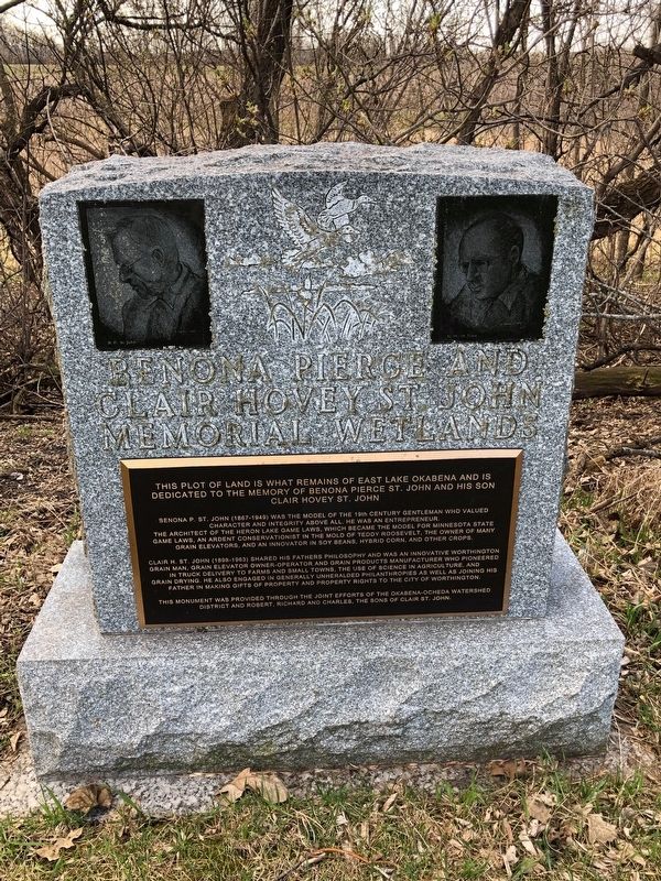
Photographed by Ruth VanSteenwyk, April 21, 2019
1. Benona Pierce and Clair Hovey St. John Memorial Wetlands Marker
This plot of land is what remains of East Lake Okabnea and is dedicated to the memory of Benona Pierce St. John and his son Clair Hovey St. John
Benona P. St. John (1867-1949) was the model of the 19th century gentleman who valued character and integrity above all. He was an entrepreneur. The architect of the Heron Lake Game Laws, which became the model for Minnesota State Game Laws. An ardent conservationist in the mold of Teddy Roosevelt, the owner of many gran elevators, and an innovator in soy beans, hybrid corn, and other crops.
Clair H. St. John (1898-1963) shared his fathers philosophy and was an innovative Worthington grain man. Grain elevator owner-operator and grain products manufacturer who pioneered in truck delivery to farms and small towns. The use of science in agriculture. And grain drying, he also engaged in generally unheralded philanthropies as well as joining his father in making gifts of property and property rights to the City of Worthington.
This monument was provided through the joint efforts of the Okabena-Ocheda Watershed district and Robert, Richard and Charles, the sons of Clair St.
this page online
Topics. This historical marker is listed in these topic lists: Environment • Horticulture & Forestry.
Location. 43° 37.095′ N, 95° 35.387′ W. Marker is in Worthington, Minnesota, in Nobles County. It is on E Lake Boulevard 0.1 miles east of 12 St E, on the right when traveling east. Touch for map. Marker is at or near this postal address: 1201 E Lake Boulevard, Worthington MN 56187, United States of America. Touch for directions.

Regionally, this marker is in Southwest Minnesota. It is also in the American Midwest and in the Corn Belt. Globally, it is in North America, the Western Hemisphere, the Western World, and the Anglosphere. Historically, it finds itself in what was once Rupert’s Land, the territory of the Mississippian Culture, and the Louisiana Purchase.
Other nearby markers. At least 8 other markers are within 13 miles of this marker, measured as the crow flies: Dayton House / George D. Dayton (approx. 0.4 miles away); Worthington Bandshell (approx. 0.9 miles away); Bridge of Friendship (approx. 0.9 miles away); Chautauqua Park / Worthington City Band
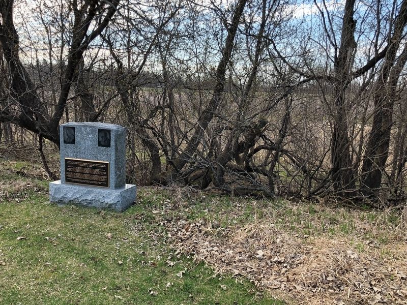
Photographed by Ruth VanSteenwyk, April 21, 2019
2. Benona Pierce and Clair Hovey St. John Memorial Wetlands Marker
Credits. This page was last revised on April 29, 2019. It was originally submitted on April 28, 2019, by Ruth VanSteenwyk of Aberdeen, South Dakota. This page has been viewed 263 times since then and 20 times this year. Photos: 1, 2. submitted on April 28, 2019, by Ruth VanSteenwyk of Aberdeen, South Dakota. • Andrew Ruppenstein was the editor who published this page.
