Cumberland Township near Gettysburg in Adams County, Pennsylvania — The American Northeast (Mid-Atlantic)
Battery F, Fourth U.S. Artillery
Artillery Brigade - Twelfth Corps
| — | Army of the Potomac | — |
Photographed by Craig Swain, September 17, 2008
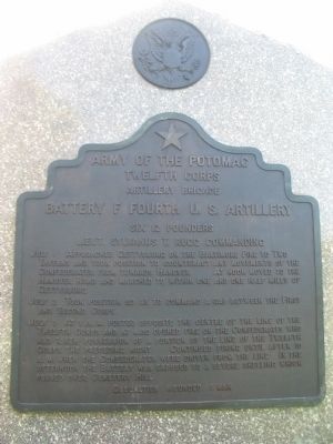
1. Battery F, Fourth U.S. Artillery Tablet
Twelfth Corps
Artillery Brigade
Battery F Fourth U.S. Artillery
Six 12 pounders
Lieut. Sylvanus T. Rugg commanding
July 1 Approached Gettysburg on the Baltimore Pike to Two Taverns and took position to counteract any movements of the Confederates towards Hanover. At noon moved to the Hanover Road and marched to within one and one half miles of Gettysburg.
July 2 Took position so as to command a gap between the First and Second Corps.
July 3 At 1 p.m. posted opposite the centre of the line of the Twelfth Corps and at 4.30 opened fire on the Confederates who had taken possession of a portion of the line of the Twelfth Corps the preceding night. Continued firing until after 10 a.m. when the Confederates were driven from the line. In the afternoon the battery was exposed to a severe shelling which passed over Cemetery Hill.
Casualties Wounded 1 man.
Erected 1907 by Gettysburg National Military Park Commission.
Topics. This historical marker is listed in this topic list: War, US Civil. A significant historical date for this entry is July 1, 1863.
Location. 39° 48.783′ N, 77° 13.425′ W. Marker is near Gettysburg, Pennsylvania,
this page online

Regionally, this marker is in South-Central Pennsylvania. It is also in the American Northeast, in the Mid-Atlantic, in Appalachia, and specifically in Northern Appalachia. Globally, it is in North America, the Western Hemisphere, the Western World, and the Anglosphere. Historically, it finds itself in what was once the Haudenosaunee (Iroquois) Confederacy and also one of the original Thirteen Colonies.
Other nearby markers. At least 8 other markers are within walking distance of this marker: Battery K, Fifth U.S. Artillery (a few steps from this marker); Artillery Brigade (about 300 feet away, measured in a direct line); Henry Spangler Farm (about 500 feet away); The George Spangler Farm Civil War Hospital Site (about 700 feet away); The Gettysburg Address (approx. 0.2 miles away); Gettysburg National Military Park Museum & Visitor Center
Photographed by Craig Swain, September 17, 2008
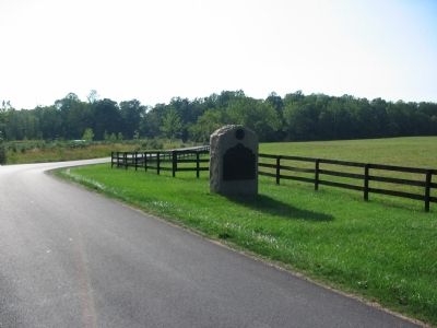
2. Battery F, Fourth U.S. Artillery Tablet Location
Photographed by Craig Swain, September 17, 2008
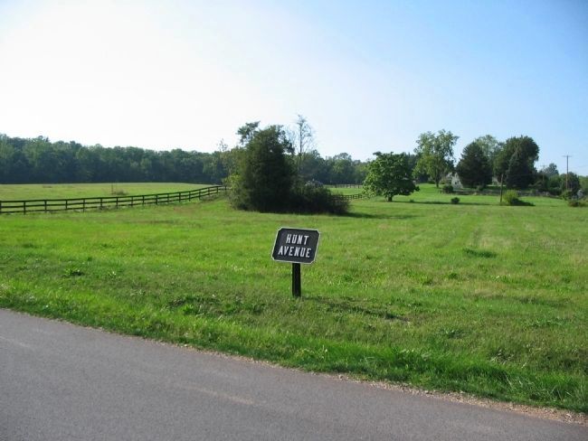
3. Rugg's Battery Location
On July 3, Rugg's Battery was deployed just north of what is today Hunt Avenue, facing east (right). The battery covered the draw south of Culps Hill, in which Spangler's Spring flows. During the bombardment which proceeded Pickett's Charge, many Confederate overshots landed in the battery's area.
Credits. This page was last revised on February 7, 2023. It was originally submitted on November 6, 2008, by Craig Swain of Leesburg, Virginia. This page has been viewed 1,015 times since then and 20 times this year. Photos: 1, 2, 3. submitted on November 6, 2008, by Craig Swain of Leesburg, Virginia.
