Church Hill in Richmond, Virginia — The American South (Mid-Atlantic)
600 N. 29th St.
C. 1890
—
Historic Richmond
—
Photographed by Devry Becker Jones (CC0), May 11, 2019
1. 600 N. 29th St. Marker
Inscription.
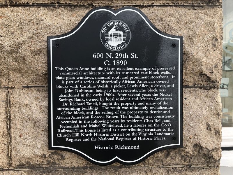
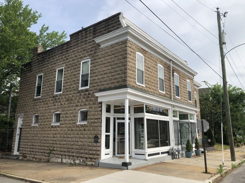
This Queen Anne building is an excellent example of preserved commercial architecture with its rusticated cast block walls, plate glass windows, mansard roof, and prominent storefront. It is part of a series of historically African-American owned blocks with Caroline Welsh, a picker, Lewis Allen, a driver, and John Robinson, being its first residents. The block was abandoned in the early 1900s. After several years the Nickel Savings Bank, owned by local resident and African American Dr. Richard Tancil, bought the property and many of the surrounding buildings. The result was ultimately revitalization of the block, and the selling of the property to dentist and African American Roscoe Brown. The buildings was consistently occupied in the following years by residents Chas Bell, and Nehemiah and Mabel Whitehead, he a laborer on the C&O Railroad. This house is listed as a contributing structure to the Church Hill North Historic District on the Virginia Landmarks Register and the National Register of Historic Places.
Erected by The Church Hill Association.
Topics. This historical marker is listed in these topic lists:
Location. 37° 31.932′ N, 77° 24.765′ W. Marker is in Richmond, Virginia. It is in Church Hill. It is at the intersection of East Leigh Street and North 29th Street, on the right when traveling west on East Leigh Street. Touch for map. Marker is at or near this postal address: 600 North 29th Street, Richmond VA 23223, United States of America. Touch for directions.
Regionally, this marker is in Central Virginia. It is also in the American South and specifically in the Upper South. Globally, it is in North America, the Western Hemisphere, the Western World, and the Anglosphere. Historically, it finds itself in what was once the territory of the Mississippian Culture, one of the original Thirteen Colonies, one of the Confederate States of America, and the Antebellum South.
Credits. This page was last revised on February 1, 2023. It was originally submitted on May 11, 2019, by Devry Becker Jones of Washington, District of Columbia. This page has been viewed 493 times since then and 43 times this year. Photos:1, 2. submitted on May 11, 2019, by Devry Becker Jones of Washington, District of Columbia.