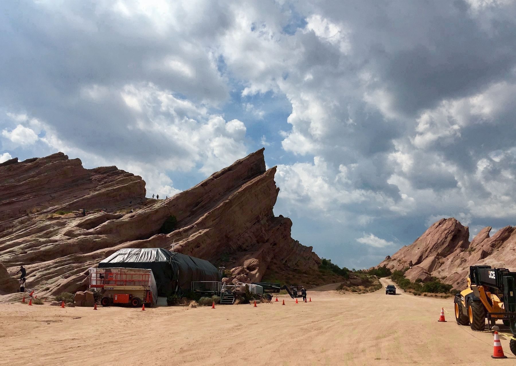
Near Aqua Dulce in Los Angeles County, California — The American West (Pacific Coastal)
Toney Residence
Vasquez Rocks
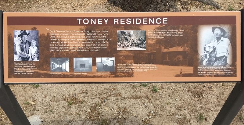
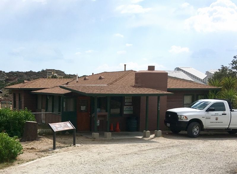
This residence is historically significant for its association with westward expansion, homesteading, agriculture, mining, the Great Depression, tourism, and the birth of the film industry in Southern California. The County of Los Angeles, Department of Parks and Recreation rehabilitated it in 2012.
Photo Captions:
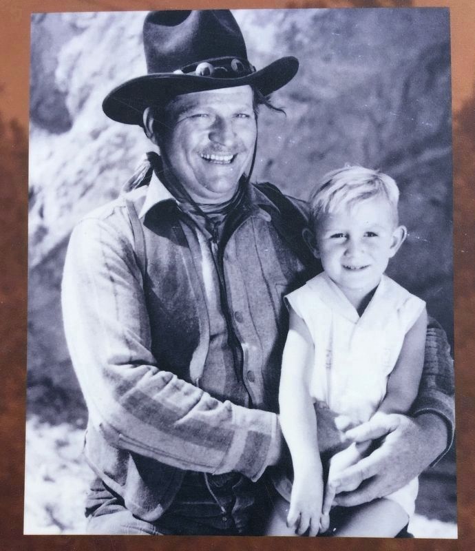
Edward A. Toney (pictured with unidentified celebrity) spent his childhood at the residence and went on to aid in the development of the Santa Clarita Valley as vice-president of the Newhall Land and Farming Company.
The cast of West of the Pecos posed with local children from Agua Dulce elementary school and their teacher, Grace Heath, in 1934. The cattle posed on the rocks belonged to neighbor John Mitchell, who rented them out to movie productions.
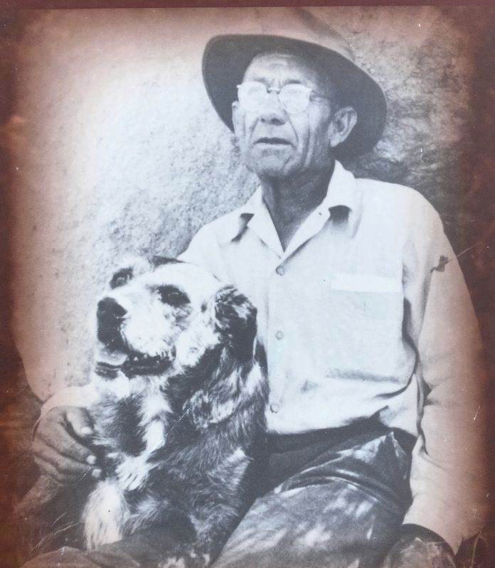
Ray A. Toney (above) inherited the Vasquez Rocks property from his uncle, William H. Krieg, who worked in a nearby mine. Krieg began renting out the property to tourists and movie productions when his agricultural efforts proved to be unsuccessful.
Erected by Vasquez Rocks Natural Area Park.
Topics. This historical marker is listed in these topic lists: Entertainment • Parks & Recreational Areas • Settlements & Settlers. A significant historical year for this entry is 2012.
Location. 34° 29.324′ N, 118° 19.257′ W. Marker is near Aqua Dulce, California, in Los Angeles County. Marker can be reached from Escondido Canyon Road, half a mile east of Aqua Dulce Canyon Road, on the right when traveling east. Touch for map. Marker is at or near this postal address: 10700 Escondido Canyon Road, Santa Clarita CA 91350, United States of America. Touch for directions.
Other nearby markers. At least 8 other markers are within 10 miles of this marker, measured as the crow flies. Lang Southern Pacific Station (approx. 5.2 miles away); The Acton Cemetery (approx. 6.8 miles away); Soledad School District (approx. 7 miles away); Acton Community Presbyterian Church (approx. 7.2 miles away); Lang Station (approx. 8.3 miles away); Chinese Railroad Workers (approx. 8.3 miles away); In Honor of All Chinese Railroad Workers (approx. 8.3 miles away); Lazy T (approx. 9.6 miles away).
More about this marker. Located near the parking lot of Vasquez Rocks Interpretive Center.
Regarding Toney Residence. This home is now the park offices. The modern Interpretive Center is next door.
Also see . . .
1. Vasquez Rocks website. (Submitted on May 12, 2019.)
2. Wikipedia list of productions at Vasquez Rocks. Including Zoro, a character inspired by real-life bandit Tiburcio Vasquez, who hid in these rocks in the 1870s. (Submitted on May 12, 2019.)
Credits. This page was last revised on October 21, 2023. It was originally submitted on May 12, 2019, by Craig Baker of Sylmar, California. This page has been viewed 453 times since then and 32 times this year. Photos: 1, 2, 3, 4, 5. submitted on May 12, 2019, by Craig Baker of Sylmar, California. • Andrew Ruppenstein was the editor who published this page.
